Estimated Value: $643,000 - $724,959
4
Beds
3
Baths
3,420
Sq Ft
$195/Sq Ft
Est. Value
About This Home
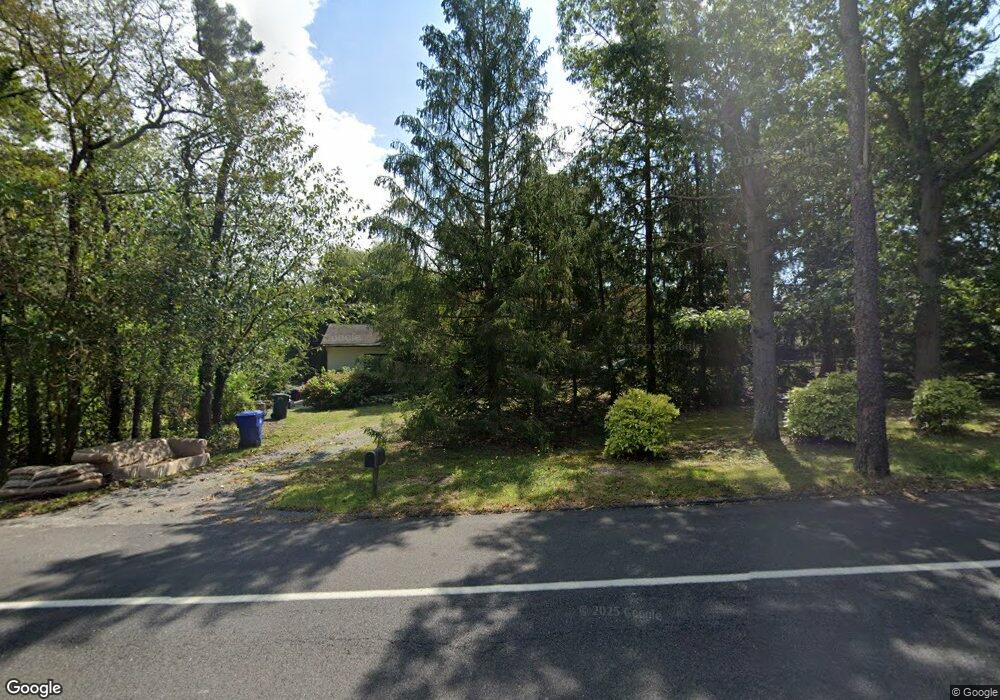
This home is located at 1171 Sally Ike Rd, Brick, NJ 08724 and is currently estimated at $666,490, approximately $194 per square foot. 1171 Sally Ike Rd is a home located in Ocean County with nearby schools including Lanes Mill Elementary School, Veterans Memorial Middle School, and Brick Township Memorial High School.
Ownership History
Date
Name
Owned For
Owner Type
Purchase Details
Closed on
Dec 3, 2003
Sold by
Hoffman David A
Bought by
Person Thord E and Person Lorie
Current Estimated Value
Home Financials for this Owner
Home Financials are based on the most recent Mortgage that was taken out on this home.
Original Mortgage
$230,000
Interest Rate
6.03%
Purchase Details
Closed on
Jun 30, 1997
Sold by
Barth Marjorie R
Bought by
Hoffman Eric Karl
Home Financials for this Owner
Home Financials are based on the most recent Mortgage that was taken out on this home.
Original Mortgage
$90,000
Interest Rate
7.86%
Create a Home Valuation Report for This Property
The Home Valuation Report is an in-depth analysis detailing your home's value as well as a comparison with similar homes in the area
Home Values in the Area
Average Home Value in this Area
Purchase History
| Date | Buyer | Sale Price | Title Company |
|---|---|---|---|
| Person Thord E | -- | -- | |
| Person Thord E | $295,000 | -- | |
| Hoffman Eric Karl | $150,000 | -- |
Source: Public Records
Mortgage History
| Date | Status | Borrower | Loan Amount |
|---|---|---|---|
| Previous Owner | Person Thord E | $230,000 | |
| Previous Owner | Hoffman Eric Karl | $90,000 |
Source: Public Records
Tax History Compared to Growth
Tax History
| Year | Tax Paid | Tax Assessment Tax Assessment Total Assessment is a certain percentage of the fair market value that is determined by local assessors to be the total taxable value of land and additions on the property. | Land | Improvement |
|---|---|---|---|---|
| 2025 | $8,969 | $343,000 | $178,300 | $164,700 |
| 2024 | $8,527 | $343,000 | $178,300 | $164,700 |
| 2023 | $8,414 | $343,000 | $178,300 | $164,700 |
| 2022 | $8,414 | $343,000 | $178,300 | $164,700 |
| 2021 | $8,242 | $343,000 | $178,300 | $164,700 |
| 2020 | $8,129 | $343,000 | $178,300 | $164,700 |
| 2019 | $7,971 | $343,000 | $178,300 | $164,700 |
| 2018 | $7,790 | $343,000 | $178,300 | $164,700 |
| 2017 | $7,580 | $343,000 | $178,300 | $164,700 |
| 2016 | $7,525 | $343,000 | $178,300 | $164,700 |
| 2015 | $7,326 | $343,000 | $178,300 | $164,700 |
| 2014 | $7,254 | $343,000 | $178,300 | $164,700 |
Source: Public Records
Map
Nearby Homes
- 595 Carolina Ave
- 720 Maidenstone Dr
- 832 Constitution Dr
- 580 New Jersey Ave
- 744 Millbrook Rd
- 556 Kirk Ln
- 682 Millbrook Rd
- 922 Quincy Dr
- 549 Pennsylvania Ave
- 2110 Lanes Mill Rd
- 542 California Ave
- 50 Little Leaf Ln
- 1233 Herkimer Rd
- 24 Little Leaf Ln
- 526 New Jersey Ave
- 20 Snowberry Ln
- 822 Lexington Dr
- 79 Greenwood Loop Rd Unit 623
- 23 Snowberry Ln
- 509 California Ave
- 630 Campbell Place
- 626 Campbell Place
- 634 Campbell Place
- 619 Karen Ln
- 638 Campbell Place
- 753 Constitution Dr
- 631 Alabama Ave
- 631 Illinois Ave
- 635 Campbell Place
- 755 Constitution Dr
- 1150 Sally Ike Rd
- 631 Carolina Ave
- 600 Kirk Ln
- 756 Constitution Dr
- 630 Alabama Ave
- 620 Illinois Ave
- 621 Illinois Ave
- 601 Kirk Ln
- 596 Kirk Ln
- 761 Iron Ct