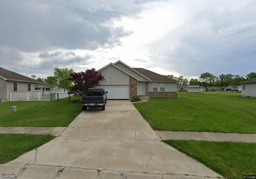
1171 Tanya St Chesterton, IN 46304
Estimated Value: $290,000 - $311,000
3
Beds
2
Baths
1,283
Sq Ft
$235/Sq Ft
Est. Value
About This Home
This home is located at 1171 Tanya St, Chesterton, IN 46304 and is currently estimated at $301,423, approximately $234 per square foot. 1171 Tanya St is a home located in Porter County with nearby schools including Newton Yost Elementary School, Westchester Intermediate School, and Chesterton Middle School.
Ownership History
Date
Name
Owned For
Owner Type
Purchase Details
Closed on
Sep 6, 2005
Sold by
Bock Dale F and Bock Celene I
Bought by
Randle Darryl and Randle Jewell
Current Estimated Value
Home Financials for this Owner
Home Financials are based on the most recent Mortgage that was taken out on this home.
Original Mortgage
$134,200
Outstanding Balance
$72,158
Interest Rate
5.93%
Mortgage Type
Fannie Mae Freddie Mac
Estimated Equity
$229,265
Create a Home Valuation Report for This Property
The Home Valuation Report is an in-depth analysis detailing your home's value as well as a comparison with similar homes in the area
Home Values in the Area
Average Home Value in this Area
Purchase History
| Date | Buyer | Sale Price | Title Company |
|---|---|---|---|
| Randle Darryl | -- | Ticor Title Insurance |
Source: Public Records
Mortgage History
| Date | Status | Borrower | Loan Amount |
|---|---|---|---|
| Open | Randle Darryl | $134,200 |
Source: Public Records
Tax History Compared to Growth
Tax History
| Year | Tax Paid | Tax Assessment Tax Assessment Total Assessment is a certain percentage of the fair market value that is determined by local assessors to be the total taxable value of land and additions on the property. | Land | Improvement |
|---|---|---|---|---|
| 2024 | $2,455 | $269,200 | $46,500 | $222,700 |
| 2023 | $2,435 | $258,900 | $46,500 | $212,400 |
| 2022 | $2,325 | $239,600 | $46,500 | $193,100 |
| 2021 | $2,336 | $251,400 | $46,500 | $204,900 |
| 2020 | $2,332 | $247,700 | $40,400 | $207,300 |
| 2019 | $2,222 | $227,900 | $40,400 | $187,500 |
| 2018 | $2,115 | $222,300 | $40,400 | $181,900 |
| 2017 | $1,989 | $218,700 | $40,400 | $178,300 |
| 2016 | $1,961 | $218,400 | $40,600 | $177,800 |
| 2014 | $2,000 | $212,500 | $38,700 | $173,800 |
| 2013 | -- | $194,100 | $37,300 | $156,800 |
Source: Public Records
Map
Nearby Homes
- 1164 Tanya St
- 1609 Melanie Ln
- 357 Melton Rd
- 1138 Weaver Way
- 1136 Weaver Way
- 326 Clifford Way
- 0 Burns Blvd
- 1151 Burns Blvd
- 1162 Chesterfield Ave
- 376 Melton Rd
- The Duneland Plan at Village in Burns Harbor
- 168 Harbor Way
- 169 Harbor Way
- V/L U S 20
- 1848 Truman St
- 283 Melton Rd
- 1766 Samuelson Rd
- 1935 Samuelson Rd
- 2176 Mccool Rd
- 2168 Austin St