11711 Monroe Rd Portland, MI 48875
Estimated Value: $489,000 - $712,000
3
Beds
3
Baths
2,432
Sq Ft
$244/Sq Ft
Est. Value
About This Home
This home is located at 11711 Monroe Rd, Portland, MI 48875 and is currently estimated at $593,354, approximately $243 per square foot. 11711 Monroe Rd is a home located in Clinton County with nearby schools including Oakwood Elementary School, Westwood Elementary School, and Portland Middle School.
Ownership History
Date
Name
Owned For
Owner Type
Purchase Details
Closed on
Oct 2, 2020
Sold by
Smith David P and Smith Sylvia J
Bought by
Smith David P and Smith Sylvia J
Current Estimated Value
Purchase Details
Closed on
Feb 11, 2010
Sold by
Abfalter Doreen
Bought by
Farnam Harold D and Abfalter Doreen
Create a Home Valuation Report for This Property
The Home Valuation Report is an in-depth analysis detailing your home's value as well as a comparison with similar homes in the area
Home Values in the Area
Average Home Value in this Area
Purchase History
| Date | Buyer | Sale Price | Title Company |
|---|---|---|---|
| Smith David P | -- | None Available | |
| Farnam Harold D | -- | None Available |
Source: Public Records
Tax History Compared to Growth
Tax History
| Year | Tax Paid | Tax Assessment Tax Assessment Total Assessment is a certain percentage of the fair market value that is determined by local assessors to be the total taxable value of land and additions on the property. | Land | Improvement |
|---|---|---|---|---|
| 2025 | $2,915 | $277,200 | $68,500 | $208,700 |
| 2024 | $1,814 | $273,300 | $55,400 | $217,900 |
| 2023 | $1,717 | $227,300 | $0 | $0 |
| 2022 | $4,103 | $210,600 | $49,300 | $161,300 |
| 2021 | $3,981 | $199,000 | $56,500 | $142,500 |
| 2020 | $3,867 | $190,400 | $55,000 | $135,400 |
| 2019 | $3,689 | $176,800 | $55,000 | $121,800 |
| 2018 | $3,559 | $161,360 | $55,000 | $106,360 |
| 2017 | $3,516 | $144,552 | $40,000 | $104,552 |
| 2016 | $3,448 | $143,732 | $40,000 | $103,732 |
| 2015 | $3,438 | $143,991 | $0 | $0 |
| 2011 | -- | $128,892 | $0 | $0 |
Source: Public Records
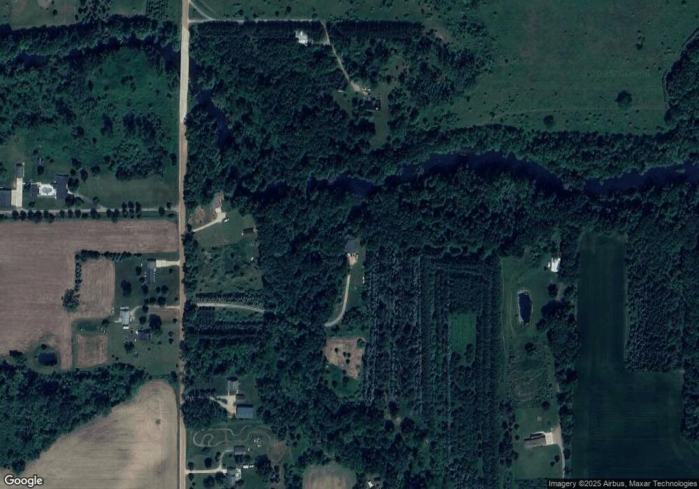
Map
Nearby Homes
- 15340 Cutler Rd
- 0 Mountainmint Cir Unit 287877
- 0 Chicory Ln Unit 286267
- 11744 E Grand River Ave
- 11678 E Grand River Ave
- 14507 McCrumb Rd
- 0 W Herbison Rd
- 13433 S Grange Rd
- 13748 Alaska Ave
- 1 Frost Rd
- 9584 Butler Rd
- 10141 Charlotte Hwy
- 11877 W Herbison Rd
- 11781 W Herbison Rd
- 926 Hill St
- 112 S Grant St
- 11958 Eden Trail
- 432 S Lincoln St
- 347 Looking Glass Ave
- 447 Divine Hwy