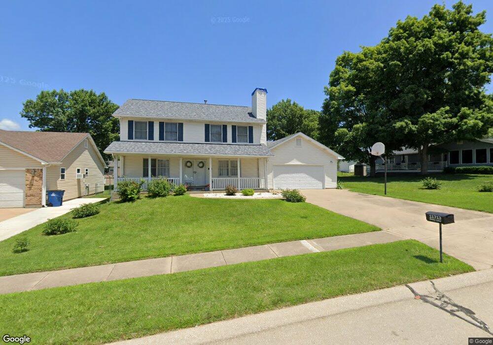
11713 Avery Ln Bridgeton, MO 63044
Estimated Value: $317,000 - $385,000
4
Beds
3
Baths
2,040
Sq Ft
$177/Sq Ft
Est. Value
About This Home
This home is located at 11713 Avery Ln, Bridgeton, MO 63044 and is currently estimated at $361,404, approximately $177 per square foot. 11713 Avery Ln is a home located in St. Louis County with nearby schools including Robert Drummond Elementary School, Holman Middle School, and Pattonville High School.
Ownership History
Date
Name
Owned For
Owner Type
Purchase Details
Closed on
Jul 18, 2012
Sold by
Gerrein Sheryl Lee and Corce Sheryl Lee Gerrein
Bought by
Gerrein Sheryl Lee
Current Estimated Value
Home Financials for this Owner
Home Financials are based on the most recent Mortgage that was taken out on this home.
Original Mortgage
$135,000
Interest Rate
3.72%
Mortgage Type
New Conventional
Purchase Details
Closed on
Mar 12, 1999
Sold by
Corce Joseph D and Corce Sheryl L
Bought by
Corce Sheryl Lee Gerrein
Create a Home Valuation Report for This Property
The Home Valuation Report is an in-depth analysis detailing your home's value as well as a comparison with similar homes in the area
Home Values in the Area
Average Home Value in this Area
Purchase History
| Date | Buyer | Sale Price | Title Company |
|---|---|---|---|
| Gerrein Sheryl Lee | -- | Midwest Title Solutions Llc | |
| Corce Sheryl Lee Gerrein | -- | -- |
Source: Public Records
Mortgage History
| Date | Status | Borrower | Loan Amount |
|---|---|---|---|
| Closed | Gerrein Sheryl Lee | $135,000 |
Source: Public Records
Tax History
| Year | Tax Paid | Tax Assessment Tax Assessment Total Assessment is a certain percentage of the fair market value that is determined by local assessors to be the total taxable value of land and additions on the property. | Land | Improvement |
|---|---|---|---|---|
| 2025 | $4,794 | $65,300 | $12,460 | $52,840 |
| 2024 | $4,794 | $59,250 | $10,550 | $48,700 |
| 2023 | $4,813 | $59,250 | $10,550 | $48,700 |
| 2022 | $4,372 | $48,550 | $8,630 | $39,920 |
| 2021 | $4,313 | $48,550 | $8,630 | $39,920 |
| 2020 | $4,140 | $45,220 | $7,640 | $37,580 |
| 2019 | $4,150 | $45,220 | $7,640 | $37,580 |
| 2018 | $3,759 | $37,760 | $5,760 | $32,000 |
| 2017 | $3,702 | $37,760 | $5,760 | $32,000 |
| 2016 | $3,698 | $37,090 | $3,080 | $34,010 |
Source: Public Records
Map
Nearby Homes
- 11768 Parish Dr
- 11660 Mark Twain Ln
- 4110 Fee Rd
- 3705 Dax Ln
- 12130 Natural Bridge Rd Unit A
- 3534 Bostons Farm Dr
- 3623 Bridgeton Valley Cir
- 3746 Fee Rd
- 11424 Burgess Ave
- 4105 Banks Rd
- 3303 Haas Ave
- 3202 Denmark Dr Unit C
- 4229 Carrollton Dr Unit A
- 3724 Adie Rd
- 3716 Adie Rd
- 11318 Taylor Pines Dr
- 11239 Terry Ave
- 3122 Carnaby Ln Unit A
- 11658 Jaquetta Ct
- 3137 Roger Williams Dr Unit C
Your Personal Tour Guide
Ask me questions while you tour the home.