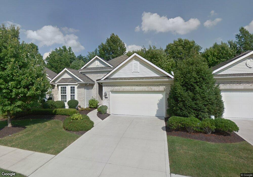
11713 Weston Point Strongsville, OH 44149
Estimated Value: $406,624 - $463,000
3
Beds
2
Baths
2,200
Sq Ft
$198/Sq Ft
Est. Value
About This Home
This home is located at 11713 Weston Point, Strongsville, OH 44149 and is currently estimated at $436,656, approximately $198 per square foot. 11713 Weston Point is a home located in Cuyahoga County with nearby schools including Strongsville High School, Strongsville Academy, and Sts Joseph & John Interparochial School.
Ownership History
Date
Name
Owned For
Owner Type
Purchase Details
Closed on
Apr 17, 2024
Sold by
Sherrard Roger Scott and Sherrard Lisa S
Bought by
Decillo Ronald M and Decillo Gloria
Current Estimated Value
Purchase Details
Closed on
Oct 23, 2008
Sold by
Jones Margery A
Bought by
Sherrard Roger Scott and Sherrard Lisa S
Home Financials for this Owner
Home Financials are based on the most recent Mortgage that was taken out on this home.
Original Mortgage
$196,000
Interest Rate
5.73%
Mortgage Type
Purchase Money Mortgage
Purchase Details
Closed on
Jan 10, 2003
Sold by
Parkview Homes Inc
Bought by
Jones Margery A
Home Financials for this Owner
Home Financials are based on the most recent Mortgage that was taken out on this home.
Original Mortgage
$204,000
Interest Rate
6.13%
Create a Home Valuation Report for This Property
The Home Valuation Report is an in-depth analysis detailing your home's value as well as a comparison with similar homes in the area
Home Values in the Area
Average Home Value in this Area
Purchase History
| Date | Buyer | Sale Price | Title Company |
|---|---|---|---|
| Decillo Ronald M | $410,000 | None Listed On Document | |
| Sherrard Roger Scott | $245,000 | Barristers Title Agency | |
| Jones Margery A | $255,000 | Chicago Title |
Source: Public Records
Mortgage History
| Date | Status | Borrower | Loan Amount |
|---|---|---|---|
| Previous Owner | Sherrard Roger Scott | $196,000 | |
| Previous Owner | Jones Margery A | $204,000 |
Source: Public Records
Tax History Compared to Growth
Tax History
| Year | Tax Paid | Tax Assessment Tax Assessment Total Assessment is a certain percentage of the fair market value that is determined by local assessors to be the total taxable value of land and additions on the property. | Land | Improvement |
|---|---|---|---|---|
| 2024 | $5,280 | $112,455 | $21,630 | $90,825 |
| 2023 | $6,299 | $100,600 | $20,970 | $79,630 |
| 2022 | $6,253 | $100,590 | $20,965 | $79,625 |
| 2021 | $6,204 | $100,590 | $20,970 | $79,630 |
| 2020 | $6,151 | $88,240 | $18,380 | $69,860 |
| 2019 | $5,971 | $252,100 | $52,500 | $199,600 |
| 2018 | $5,364 | $88,240 | $18,380 | $69,860 |
| 2017 | $5,408 | $81,520 | $14,140 | $67,380 |
| 2016 | $5,364 | $81,520 | $14,140 | $67,380 |
| 2015 | $8,863 | $81,520 | $14,140 | $67,380 |
| 2014 | $8,863 | $83,200 | $14,420 | $68,780 |
Source: Public Records
Map
Nearby Homes
- 12515 Countryside Dr
- 11030 Southwind Ct
- 12579 Woodberry Ln
- 10842 Fence Row Dr
- 10824 Watercress Rd
- 21359 Briar Bush Ln
- 21469 Woodview Cir
- 10800 Meadow Trail
- 22235 North Trail
- 0 Priem Rd
- 10353 Oak Branch Trail
- 22300 Rock Creek Cir
- 21176 Hickory Branch Trail
- 10001 N Marks Rd
- 22125 Olde Creek Trail
- 9829 Plum Brook Ln
- 12665 Challenge Way
- 10839 Prospect Rd
- 12490 Challenge Way
- 21292 Creekside Dr
- 11713 Weston Pointe
- 11737 Weston Pointe
- 11689 Weston Point
- 11761 Weston Point
- 11665 Weston Point
- 11682 Greystone Point
- 11785 Weston Point
- 11716 Weston Point
- 11641 Weston Pointe
- 11641 Weston Point
- 11692 Weston Pointe
- 11692 Weston Place
- 11748 Greystone Point
- 11660 Greystone Point
- 11809 Weston Point
- 11668 Weston Point
- 11770 Greystone Point
- 11664 Weston Point
- 11764 Weston Point
- 11792 Greystone Point