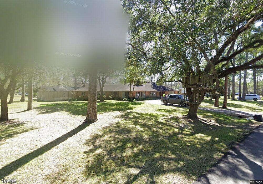
11717 Forest Glen St Houston, TX 77024
Estimated Value: $2,591,000 - $3,092,000
6
Beds
6
Baths
5,266
Sq Ft
$534/Sq Ft
Est. Value
About This Home
This home is located at 11717 Forest Glen St, Houston, TX 77024 and is currently estimated at $2,812,106, approximately $534 per square foot. 11717 Forest Glen St is a home located in Harris County with nearby schools including Bunker Hill Elementary School, Memorial Drive Elementary School, and Spring Branch Middle School.
Ownership History
Date
Name
Owned For
Owner Type
Purchase Details
Closed on
Nov 26, 2007
Sold by
Looney Richard O and Looney Pamela S
Current Estimated Value
Home Financials for this Owner
Home Financials are based on the most recent Mortgage that was taken out on this home.
Original Mortgage
$1,000,000
Outstanding Balance
$628,246
Interest Rate
6.42%
Mortgage Type
Purchase Money Mortgage
Estimated Equity
$2,183,860
Purchase Details
Closed on
Dec 30, 1993
Sold by
Tepper Sylvia Ann and Tepper Henry Roy
Bought by
Looney Richard O and Looney Pamela S
Home Financials for this Owner
Home Financials are based on the most recent Mortgage that was taken out on this home.
Original Mortgage
$488,000
Interest Rate
7.12%
Create a Home Valuation Report for This Property
The Home Valuation Report is an in-depth analysis detailing your home's value as well as a comparison with similar homes in the area
Home Values in the Area
Average Home Value in this Area
Purchase History
| Date | Buyer | Sale Price | Title Company |
|---|---|---|---|
| Dillon Kevin | -- | Charter Title Company | |
| Looney Richard O | -- | Stewart Title Company |
Source: Public Records
Mortgage History
| Date | Status | Borrower | Loan Amount |
|---|---|---|---|
| Open | Dillon Kevin | $1,000,000 | |
| Previous Owner | Looney Richard O | $488,000 | |
| Closed | Looney Richard O | $61,000 |
Source: Public Records
Tax History Compared to Growth
Tax History
| Year | Tax Paid | Tax Assessment Tax Assessment Total Assessment is a certain percentage of the fair market value that is determined by local assessors to be the total taxable value of land and additions on the property. | Land | Improvement |
|---|---|---|---|---|
| 2025 | $36,399 | $2,677,100 | $1,519,080 | $1,158,020 |
| 2024 | $36,399 | $2,458,342 | $1,468,444 | $989,898 |
| 2023 | $36,399 | $2,369,527 | $1,392,490 | $977,037 |
| 2022 | $45,607 | $2,331,561 | $1,392,490 | $939,071 |
| 2021 | $43,183 | $1,994,024 | $1,316,536 | $677,488 |
| 2020 | $42,603 | $1,923,680 | $1,316,536 | $607,144 |
| 2019 | $46,281 | $2,006,389 | $1,316,536 | $689,853 |
| 2018 | $9,963 | $1,960,700 | $1,316,536 | $644,164 |
| 2017 | $45,227 | $1,960,700 | $1,316,536 | $644,164 |
| 2016 | $42,090 | $2,030,939 | $1,316,536 | $714,403 |
| 2015 | $28,552 | $2,030,939 | $1,316,536 | $714,403 |
| 2014 | $28,552 | $1,672,541 | $1,139,310 | $533,231 |
Source: Public Records
Map
Nearby Homes
- 11722 Claywood St
- 11640 Greenbay St
- 318 Knipp Rd
- 345 Knipp Rd
- 11606 Blalock Ln
- 11607 Shady Grove Ln
- 11711 Memorial Dr Unit 570
- 11711 Memorial Dr Unit 55
- 11711 Memorial Dr Unit 21
- 11711 Memorial Dr Unit 565
- 11711 Memorial Dr Unit 695
- 11711 Memorial Dr Unit 585
- 11711 Memorial Dr Unit 644
- 11711 Memorial Dr Unit 285
- 11711 Memorial Dr Unit 371
- 11711 Memorial Dr Unit 129
- 11711 Memorial Dr Unit 251
- 11711 Memorial Dr Unit 573
- 11711 Memorial Dr Unit 545
- 11711 Memorial Dr Unit 276
- 309 Mayerling Dr
- 11721 Forest Glen St
- 11718 Forest Glen St
- 11713 Forest Glen St
- 11722 Forest Glen St
- 320 Bunker Hill Rd
- 305 Mayerling Dr
- 11714 Forest Glen St
- 11726 Forest Glen St
- 11714 Monica St
- 11709 Forest Glen St
- 11727 Forest Glen St
- 11710 Forest Glen St
- 301 Mayerling Dr
- 11711 Country Way
- 316 Bunker Hill Rd
- 1 Eaton Ct
- 330 Bunker Hill Rd
- 11707 Country Way
- 11735 Bayhurst Dr