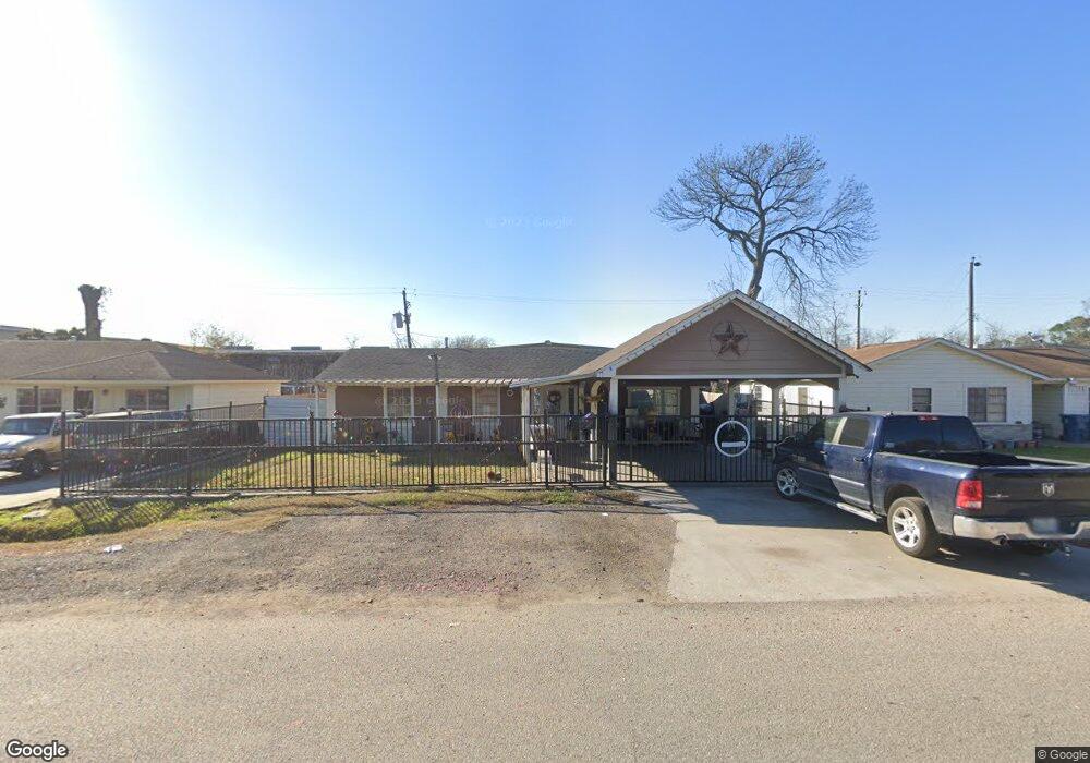
11719 Maymount Ln Houston, TX 77093
East Aldine NeighborhoodEstimated Value: $219,768 - $249,000
3
Beds
1
Bath
2,005
Sq Ft
$118/Sq Ft
Est. Value
About This Home
This home is located at 11719 Maymount Ln, Houston, TX 77093 and is currently estimated at $236,192, approximately $117 per square foot. 11719 Maymount Ln is a home located in Harris County with nearby schools including Vardeman EC/PK/K, Worsham Elementary School, and Macarthur Ninth Grade School.
Ownership History
Date
Name
Owned For
Owner Type
Purchase Details
Closed on
Mar 4, 2022
Sold by
Galindo Genaro A and Galindo Maria Dela
Bought by
Leal Jose F and Rodriguez Norma Alicia
Current Estimated Value
Purchase Details
Closed on
Jul 31, 2001
Sold by
Galindo Genaro A and Galindo Maria Dela
Bought by
Leal Jose F and Leal Norma
Home Financials for this Owner
Home Financials are based on the most recent Mortgage that was taken out on this home.
Original Mortgage
$55,000
Interest Rate
3.09%
Mortgage Type
Land Contract Argmt. Of Sale
Create a Home Valuation Report for This Property
The Home Valuation Report is an in-depth analysis detailing your home's value as well as a comparison with similar homes in the area
Home Values in the Area
Average Home Value in this Area
Purchase History
| Date | Buyer | Sale Price | Title Company |
|---|---|---|---|
| Leal Jose F | -- | Muiloz Manuel | |
| Leal Jose F | $60,000 | None Available |
Source: Public Records
Mortgage History
| Date | Status | Borrower | Loan Amount |
|---|---|---|---|
| Previous Owner | Leal Jose F | $55,000 |
Source: Public Records
Tax History Compared to Growth
Tax History
| Year | Tax Paid | Tax Assessment Tax Assessment Total Assessment is a certain percentage of the fair market value that is determined by local assessors to be the total taxable value of land and additions on the property. | Land | Improvement |
|---|---|---|---|---|
| 2025 | $3,199 | $233,483 | $43,790 | $189,693 |
| 2024 | $3,199 | $234,578 | $43,790 | $190,788 |
| 2023 | $3,541 | $262,140 | $30,623 | $231,517 |
| 2022 | $4,209 | $204,705 | $30,623 | $174,082 |
| 2021 | $2,959 | $137,265 | $30,623 | $106,642 |
| 2020 | $2,949 | $129,824 | $30,623 | $99,201 |
| 2019 | $2,880 | $121,053 | $30,623 | $90,430 |
| 2018 | $1,464 | $101,967 | $14,699 | $87,268 |
| 2017 | $2,311 | $101,967 | $14,699 | $87,268 |
| 2016 | $2,311 | $101,967 | $14,699 | $87,268 |
| 2015 | $1,738 | $100,316 | $14,699 | $85,617 |
| 2014 | $1,738 | $77,928 | $14,699 | $63,229 |
Source: Public Records
Map
Nearby Homes
- 1925 Sunny Dr
- 2306 Wardmont St
- 2326 Sunny Dr
- 11746 Somerset Ln
- 2131 Warwick Rd
- 2123 Warwick Rd
- 2311 Warwick Rd
- 2237 Cromwell St
- 11716 Innsbury Dr
- 1703 & 0 Sunny Dr
- 1930 Cromwell St
- 2410 Mierianne St
- 2152 William Tell St
- 2122 Kowis St
- 1508 Hopper Rd Unit 1
- 1802 Kowis St
- 2723 Castledale Dr
- 2817 Cromwell St
- 2629 Kowis St
- 2915 Brea Crest St
- 11715 Maymount Ln
- 11723 Maymount Ln
- 11727 Maymount Ln
- 11711 Maymount Ln
- 2203 Mooney Rd
- 2202 Mooney Rd
- 11707 Maymount Ln
- 11731 Maymount Ln
- 2207 Mooney Rd
- 2202 Brea Crest St
- 2206 Mooney Rd
- 11703 Maymount Ln
- 2203 Sunny Dr
- 2206 Brea Crest St
- 2211 Mooney Rd
- 2207 Sunny Dr
- 2210 Mooney Rd
- 11615 Maymount Ln
- 2123 Brea Crest St
- 2210 Brea Crest St