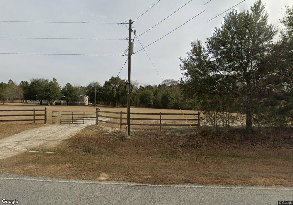
1172 Anderson Pond Rd Soperton, GA 30457
Estimated Value: $139,000 - $206,000
--
Bed
2
Baths
1,581
Sq Ft
$111/Sq Ft
Est. Value
About This Home
This home is located at 1172 Anderson Pond Rd, Soperton, GA 30457 and is currently estimated at $176,025, approximately $111 per square foot. 1172 Anderson Pond Rd is a home with nearby schools including Treutlen Elementary School and Treutlen Middle/High School.
Ownership History
Date
Name
Owned For
Owner Type
Purchase Details
Closed on
Oct 18, 2007
Sold by
Hughes Ken
Bought by
Hughes William Kenneth and Hughes Kay Coleman
Current Estimated Value
Purchase Details
Closed on
Feb 28, 2005
Sold by
Meeks Dale Felix
Bought by
Hughes Ken
Purchase Details
Closed on
May 3, 1988
Bought by
Meeks Dale Felix
Purchase Details
Closed on
Apr 3, 1974
Bought by
Meeks Mary Heuett
Purchase Details
Closed on
Jan 3, 1953
Create a Home Valuation Report for This Property
The Home Valuation Report is an in-depth analysis detailing your home's value as well as a comparison with similar homes in the area
Home Values in the Area
Average Home Value in this Area
Purchase History
| Date | Buyer | Sale Price | Title Company |
|---|---|---|---|
| Hughes William Kenneth | -- | -- | |
| Hughes Ken | $90,000 | -- | |
| Meeks Dale Felix | $10,000 | -- | |
| -- | -- | -- | |
| Meeks Mary Heuett | -- | -- | |
| -- | -- | -- |
Source: Public Records
Tax History Compared to Growth
Tax History
| Year | Tax Paid | Tax Assessment Tax Assessment Total Assessment is a certain percentage of the fair market value that is determined by local assessors to be the total taxable value of land and additions on the property. | Land | Improvement |
|---|---|---|---|---|
| 2024 | $1,334 | $49,720 | $18,720 | $31,000 |
| 2023 | $1,287 | $49,720 | $18,720 | $31,000 |
| 2022 | $1,244 | $48,120 | $18,720 | $29,400 |
| 2021 | $1,243 | $48,120 | $18,720 | $29,400 |
| 2020 | $1,242 | $48,120 | $18,720 | $29,400 |
| 2019 | $1,241 | $48,120 | $18,720 | $29,400 |
| 2018 | $1,110 | $45,400 | $18,720 | $26,680 |
| 2017 | $736 | $29,800 | $18,720 | $11,080 |
| 2016 | $722 | $29,800 | $18,720 | $11,080 |
| 2015 | -- | $29,800 | $18,720 | $11,080 |
| 2014 | -- | $29,800 | $18,720 | $11,080 |
| 2013 | -- | $32,160 | $21,080 | $11,080 |
Source: Public Records
Map
Nearby Homes
- 0 Lake Helen Loop Unit 10640271
- 0 Muskogee Trail Unit 25917
- 0 Muskogee Trail Unit LOT 78 20128125
- 0 Knox Mill Rd Unit 10640244
- 2618 Georgia 86
- 4687 W Main St
- 46 Georgia 46
- 7586 Eastman Rd
- 1785 Martin Luther King jr Dr
- 0 Poplar Springs Church Rd Unit 10557967
- 00 Poplar Springs Church Rd
- NA Rd
- 0 Pendleton Creek Rd Unit SA340356
- 4004 E Louisiana Ave
- 481 Windmill Way
- 0 Rivoli Clay Rd
- 00 Rivoli Clay Rd
- 0 Cedar Grove Rd
- 843 Daniel Mimbs Rd
- Pendleton Rreek Rd
- 1074 Pecan Point
- 973 Pecan Point
- 1470 Pecan Point
- 1443 Anderson Pond Rd
- 658 Spivey Cemetery Rd
- 391 Tower Rd
- 304 Orland Station Rd
- 243 Tower Rd
- 201 Tower Rd
- 306 Tower Rd
- 312 Orland Station Rd
- 180 Tower Rd
- 10222 Ga Highway 29
- 1783 Rollingwood Dr
- 10002 Ga Highway 29
- 10163 Ga Highway 29
- 10113 Ga Highway 29
- 10385 Ga Highway 29
- 95 Knox Mill Rd
- 507 Sterling Mill Rd