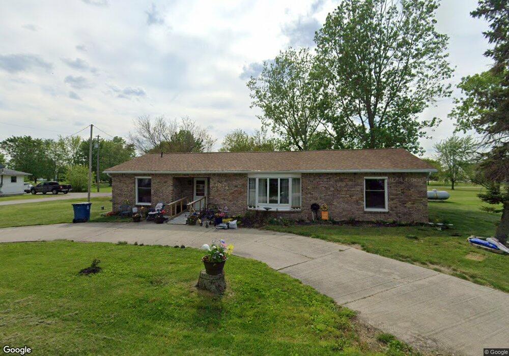
1172 Grant St Martin, OH 43445
Estimated Value: $112,000
Studio
--
Bath
--
Sq Ft
4,008
Sq Ft Lot
About This Home
This home is located at 1172 Grant St, Martin, OH 43445 and is currently priced at $112,000. 1172 Grant St is a home located in Lucas County.
Ownership History
Date
Name
Owned For
Owner Type
Purchase Details
Closed on
Sep 13, 2022
Sold by
Avery Douglas A and Avery Michele M
Bought by
Goodrich George and Goodrich Linda
Current Estimated Value
Purchase Details
Closed on
Nov 4, 2008
Sold by
Secretary Of Housing & Urban Development
Bought by
Avery Douglas A and Avery Michele M
Home Financials for this Owner
Home Financials are based on the most recent Mortgage that was taken out on this home.
Original Mortgage
$40,000
Interest Rate
5.95%
Mortgage Type
Purchase Money Mortgage
Purchase Details
Closed on
Aug 1, 2007
Sold by
Castle Michael D
Bought by
Hud
Purchase Details
Closed on
Jun 20, 2003
Sold by
Abramo Sylvia R and Abramo Frank
Bought by
Castle Michael D and Castle Melinda E
Home Financials for this Owner
Home Financials are based on the most recent Mortgage that was taken out on this home.
Original Mortgage
$104,176
Interest Rate
5.71%
Mortgage Type
FHA
Purchase Details
Closed on
Jul 5, 1989
Sold by
Herrera J R and S R
Create a Home Valuation Report for This Property
The Home Valuation Report is an in-depth analysis detailing your home's value as well as a comparison with similar homes in the area
Purchase History
| Date | Buyer | Sale Price | Title Company |
|---|---|---|---|
| Goodrich George | $150,000 | -- | |
| Avery Douglas A | $50,400 | Lakeside Title & Escrow Agen | |
| Hud | $80,000 | Attorney | |
| Castle Michael D | $105,000 | -- | |
| -- | -- | -- |
Source: Public Records
Mortgage History
| Date | Status | Borrower | Loan Amount |
|---|---|---|---|
| Previous Owner | Avery Douglas A | $40,000 | |
| Previous Owner | Castle Michael D | $104,176 |
Source: Public Records
Tax History
| Year | Tax Paid | Tax Assessment Tax Assessment Total Assessment is a certain percentage of the fair market value that is determined by local assessors to be the total taxable value of land and additions on the property. | Land | Improvement |
|---|---|---|---|---|
| 2025 | -- | $210 | $210 | -- |
| 2024 | $54 | $210 | $210 | -- |
| 2023 | $106 | $140 | $140 | $0 |
| 2022 | $106 | $140 | $140 | $0 |
| 2021 | $106 | $140 | $140 | $0 |
| 2020 | $105 | $105 | $105 | $0 |
| 2019 | $105 | $105 | $105 | $0 |
| 2018 | $104 | $105 | $105 | $0 |
| 2017 | $103 | $70 | $70 | $0 |
| 2016 | $103 | $200 | $200 | $0 |
| 2015 | $102 | $200 | $200 | $0 |
| 2014 | $5 | $70 | $70 | $0 |
| 2013 | $5 | $70 | $70 | $0 |
Source: Public Records
Map
Nearby Homes
- 7105 N Elliston Trowbridge Rd
- 12504 La Fontaine Dr
- 12369 Lagoon Dr
- 11965 Dyke Rd
- 549 Beachview Rd
- 645 Clubhouse Rd
- 21224 W Toledo St
- 3431 N Elliston-Trowbridge Rd
- 1031 N Cousino Rd
- 22245 W Hollyhock Ln
- 6927 N Wildacre Rd
- 1626 Dier Rd
- 7330 Jerusalem Rd
- 7105 N Curtice St
- 22771 W Toledo St
- 22800 W Cedar Ave
- 23284 W State Route 579
- 0 N Walker St
- 1228 Bury Rd
- 6421 Seaman Rd
Your Personal Tour Guide
Ask me questions while you tour the home.