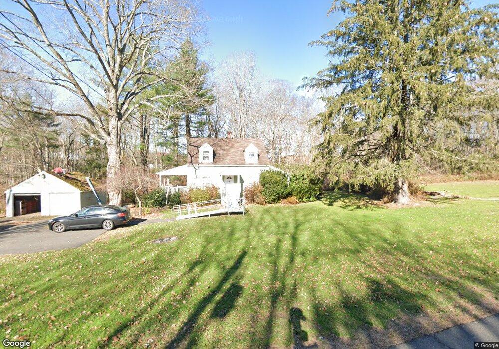
1172 Southford Rd Middlebury, CT 06762
Estimated Value: $393,848 - $523,000
3
Beds
2
Baths
1,147
Sq Ft
$389/Sq Ft
Est. Value
About This Home
This home is located at 1172 Southford Rd, Middlebury, CT 06762 and is currently estimated at $446,212, approximately $389 per square foot. 1172 Southford Rd is a home located in New Haven County with nearby schools including Long Meadow Elementary School, Memorial Middle School, and Pomperaug Regional High School.
Ownership History
Date
Name
Owned For
Owner Type
Purchase Details
Closed on
Apr 4, 2005
Sold by
Leo Rose
Bought by
Zarko-Smith Michele
Current Estimated Value
Home Financials for this Owner
Home Financials are based on the most recent Mortgage that was taken out on this home.
Original Mortgage
$315,000
Outstanding Balance
$160,755
Interest Rate
5.61%
Estimated Equity
$285,457
Purchase Details
Closed on
Feb 22, 1994
Sold by
Benedict Anna
Bought by
Leo Frank and Leo Rose
Home Financials for this Owner
Home Financials are based on the most recent Mortgage that was taken out on this home.
Original Mortgage
$92,000
Interest Rate
7.88%
Mortgage Type
Unknown
Create a Home Valuation Report for This Property
The Home Valuation Report is an in-depth analysis detailing your home's value as well as a comparison with similar homes in the area
Home Values in the Area
Average Home Value in this Area
Purchase History
| Date | Buyer | Sale Price | Title Company |
|---|---|---|---|
| Zarko-Smith Michele | $350,000 | -- | |
| Zarko-Smith Michele | $350,000 | -- | |
| Leo Frank | $77,500 | -- | |
| Leo Frank | $77,500 | -- |
Source: Public Records
Mortgage History
| Date | Status | Borrower | Loan Amount |
|---|---|---|---|
| Open | Leo Frank | $315,000 | |
| Closed | Leo Frank | $315,000 | |
| Previous Owner | Leo Frank | $92,000 |
Source: Public Records
Tax History Compared to Growth
Tax History
| Year | Tax Paid | Tax Assessment Tax Assessment Total Assessment is a certain percentage of the fair market value that is determined by local assessors to be the total taxable value of land and additions on the property. | Land | Improvement |
|---|---|---|---|---|
| 2025 | $5,779 | $177,700 | $64,400 | $113,300 |
| 2024 | $5,793 | $177,700 | $64,400 | $113,300 |
| 2023 | $5,733 | $177,700 | $64,400 | $113,300 |
| 2022 | $5,555 | $177,700 | $64,400 | $113,300 |
| 2021 | $4,883 | $140,200 | $73,300 | $66,900 |
| 2020 | $4,921 | $140,200 | $73,300 | $66,900 |
| 2019 | $4,683 | $140,200 | $73,300 | $66,900 |
| 2018 | $4,558 | $140,200 | $73,300 | $66,900 |
| 2017 | $4,415 | $140,200 | $73,300 | $66,900 |
| 2016 | $4,683 | $151,000 | $86,100 | $64,900 |
| 2015 | $4,548 | $151,000 | $86,100 | $64,900 |
| 2014 | $4,430 | $151,000 | $86,100 | $64,900 |
Source: Public Records
Map
Nearby Homes
- 74 Blueberry Ln
- 56 Blueberry Ln
- 919 Strongtown Rd
- 0 N Benson Rd Unit 48 24129196
- 0 N Benson Rd Unit 50 24118969
- 0 N Benson Rd Unit 51 24117506
- 0 N Benson Rd Unit 59 24116892
- 0 N Benson Rd Unit 44 24109951
- 0 N Benson Rd Unit 52 24100213
- 0 N Benson Rd Unit 47 24099635
- 0 N Benson Rd Unit 46 24097231
- 0 N Benson Rd Unit 49 24096137
- 0 N Benson Rd Unit 66 24093726
- 0 N Benson Rd Unit 45 24089121
- 0 N Benson Rd Unit 53 24086541
- 0 N Benson Rd Unit 55 24086408
- 0 N Benson Rd Unit 64 24077175
- 0 N Benson Rd Unit 43 24071892
- 0 N Benson Rd Unit 36 24058145
- 39 Independence Cir
- 1157 Southford Rd
- 1129 Southford Rd
- 1082 Southford Rd
- 47 Old Oakwood Dr
- 109 Judd Rd
- 49 Old Oakwood Dr
- 111 Judd Rd
- 57 Tuttle Rd
- 33 Old Oakwood Dr
- 79 Tuttle Rd
- 65 Old Oakwood Dr
- 95 Tuttle Rd
- 131 Old Oakwood Dr
- 10 Tuttle Rd
- 56 Tuttle Rd
- 84 Tuttle Rd
- 66 Old Oakwood Dr
- 2 Tuttle Rd
- 102 Tuttle Rd
- 30 Old Oakwood Dr