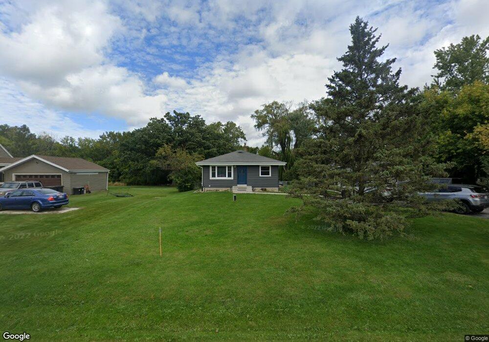
11720 W Ryan Rd Franklin, WI 53132
Estimated Value: $331,000 - $362,000
3
Beds
1
Bath
1,040
Sq Ft
$336/Sq Ft
Est. Value
About This Home
This home is located at 11720 W Ryan Rd, Franklin, WI 53132 and is currently estimated at $349,067, approximately $335 per square foot. 11720 W Ryan Rd is a home located in Milwaukee County with nearby schools including Country Dale Elementary School, Forest Park Middle School, and Franklin High School.
Ownership History
Date
Name
Owned For
Owner Type
Purchase Details
Closed on
Jul 28, 2008
Sold by
Benning Thomas
Bought by
Benning Thomas and Benning Alice
Current Estimated Value
Purchase Details
Closed on
Nov 10, 1998
Sold by
Chaplitski Gladys M and Zadra Alberta L
Bought by
Benning Thomas
Home Financials for this Owner
Home Financials are based on the most recent Mortgage that was taken out on this home.
Original Mortgage
$85,000
Interest Rate
9.87%
Create a Home Valuation Report for This Property
The Home Valuation Report is an in-depth analysis detailing your home's value as well as a comparison with similar homes in the area
Home Values in the Area
Average Home Value in this Area
Purchase History
| Date | Buyer | Sale Price | Title Company |
|---|---|---|---|
| Benning Thomas | -- | None Available | |
| Benning Thomas | $100,000 | -- |
Source: Public Records
Mortgage History
| Date | Status | Borrower | Loan Amount |
|---|---|---|---|
| Previous Owner | Benning Thomas | $85,000 |
Source: Public Records
Tax History Compared to Growth
Tax History
| Year | Tax Paid | Tax Assessment Tax Assessment Total Assessment is a certain percentage of the fair market value that is determined by local assessors to be the total taxable value of land and additions on the property. | Land | Improvement |
|---|---|---|---|---|
| 2024 | $3,002 | -- | -- | -- |
| 2023 | $5,605 | $256,400 | $64,800 | $191,600 |
| 2022 | $5,629 | $214,300 | $64,800 | $149,500 |
| 2021 | $5,547 | $195,700 | $60,600 | $135,100 |
| 2020 | $5,570 | $0 | $0 | $0 |
| 2019 | $4,417 | $183,300 | $60,600 | $122,700 |
| 2018 | $5,347 | $0 | $0 | $0 |
| 2017 | $4,174 | $164,600 | $60,600 | $104,000 |
| 2015 | -- | $138,400 | $56,000 | $82,400 |
| 2013 | -- | $138,400 | $56,000 | $82,400 |
Source: Public Records
Map
Nearby Homes
- 9607 S Bergamont Dr
- 9344 S Parkside Ln
- 9354 S Parkside Ln
- 9628 S Sophia Ct
- 11223 W Loomis Rd
- 9636 S Sophia Ct
- 11520 W Meadowview Dr
- 9546 S Bergamont Dr
- 9157 S Overlook Way
- 9878 S Bergamont Dr
- 9676 S Bergamont Dr
- 9186 S Winding Way
- 9128 S Overlook Way
- 9198 S Winding Way
- W125S9708 N Cape Rd
- Lt1 W Loomis Rd
- W125S9782 N Cape Rd
- Pcl2 S 112th St
- S94W14528 Ryan Dr
- Lt0 Ryan Dr
- 11820 W Ryan Rd
- 11700 W Ryan Rd
- 9697 S Bergamont Dr
- 9519 S Bergamont Dr
- 9547 S Bergamont Dr
- 9621 S Bergamont Dr
- 9535 S Bergamont Dr
- 9581 S Bergamont Dr
- 9709 S Bergamont Dr
- 9581 Bergamont Dr
- 9761 Bergamont Dr
- 9761 Bergamont Dr Unit 9761
- 11856 W Ryan Rd
- 11838 W Ryan Rd
- 11835 W Ryan Rd
- 11606 W Ryan Rd
- Lt3 W Ryan Rd
- Lt3 W Ryan Rd Unit Lt3
- 11900 W Ryan Rd
- 11889 W Ryan Rd