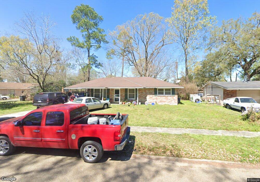
11721 Pamela Dr Baton Rouge, LA 70815
Park Forest/LA North NeighborhoodEstimated Value: $106,000 - $156,000
3
Beds
2
Baths
1,162
Sq Ft
$115/Sq Ft
Est. Value
About This Home
This home is located at 11721 Pamela Dr, Baton Rouge, LA 70815 and is currently estimated at $133,402, approximately $114 per square foot. 11721 Pamela Dr is a home located in East Baton Rouge Parish with nearby schools including LaBelle Aire Elementary School, Park Forest Middle School, and Belaire High School.
Ownership History
Date
Name
Owned For
Owner Type
Purchase Details
Closed on
Aug 10, 2011
Sold by
Sterling Dale W
Bought by
F And L Development Llc
Current Estimated Value
Purchase Details
Closed on
Jun 9, 2000
Sold by
Robinson Vernon E and Audrey Louvenia C
Bought by
Bazile Timothy L
Home Financials for this Owner
Home Financials are based on the most recent Mortgage that was taken out on this home.
Original Mortgage
$59,407
Interest Rate
8.13%
Mortgage Type
FHA
Create a Home Valuation Report for This Property
The Home Valuation Report is an in-depth analysis detailing your home's value as well as a comparison with similar homes in the area
Home Values in the Area
Average Home Value in this Area
Purchase History
| Date | Buyer | Sale Price | Title Company |
|---|---|---|---|
| F And L Development Llc | $53,682 | -- | |
| Sterling Dale W | $53,100 | -- | |
| Bazile Timothy L | $59,900 | -- |
Source: Public Records
Mortgage History
| Date | Status | Borrower | Loan Amount |
|---|---|---|---|
| Previous Owner | Bazile Timothy L | $59,407 |
Source: Public Records
Tax History Compared to Growth
Tax History
| Year | Tax Paid | Tax Assessment Tax Assessment Total Assessment is a certain percentage of the fair market value that is determined by local assessors to be the total taxable value of land and additions on the property. | Land | Improvement |
|---|---|---|---|---|
| 2024 | $1,330 | $9,860 | $1,200 | $8,660 |
| 2023 | $1,330 | $8,120 | $1,200 | $6,920 |
| 2022 | $1,145 | $8,120 | $1,200 | $6,920 |
| 2021 | $1,122 | $8,120 | $1,200 | $6,920 |
| 2020 | $959 | $8,120 | $1,200 | $6,920 |
| 2019 | $1,001 | $8,100 | $1,200 | $6,900 |
| 2018 | $988 | $8,100 | $1,200 | $6,900 |
| 2017 | $988 | $8,100 | $1,200 | $6,900 |
| 2016 | $964 | $8,100 | $1,200 | $6,900 |
| 2015 | $906 | $7,600 | $1,200 | $6,400 |
| 2014 | $903 | $7,600 | $1,200 | $6,400 |
| 2013 | -- | $7,600 | $1,200 | $6,400 |
Source: Public Records
Map
Nearby Homes
- 1734 N Rosedale Dr
- 11368 Pamela Dr
- 11555 E Black Oak Dr
- 11755 Archery Dr
- 11625 Archery Dr
- 12013 Shannon Ave
- 2043 Shady Oaks Dr
- 371 Kay Dr
- 2121 Oak Knoll Dr
- 2148 Oak Knoll Dr
- 2150 N Sherwood Forest Dr
- 12385&12387 Shay Ave
- 12424 Cate Ave Unit 12426
- 379 Wilton Dr
- 388 Wingate Dr
- 12069 E Glenhaven Dr
- 12547 Lorna Ave
- 11934 Mollylea Dr
- 12875 King John Place
- 1053 Green Oak Dr
- 11665 Pamela Dr
- 11757 Pamela Dr
- 11666 Glenda Dr
- 11722 Glenda Dr
- 11647 Pamela Dr
- 11720 Pamela Dr
- 11742 Pamela Dr
- 11644 Glenda Dr
- 1172 Rosedale Dr
- 11766 Glenda Dr
- 11764 Pamela Dr
- 11635 Pamela Dr
- 11664 Pamela Dr
- 11636 Glenda Dr
- 11648 Pamela Dr
- 11786 Pamela Dr
- 11621 Pamela Dr
- 11715 Glenda Dr
- 11677 Glenda Dr
- 11634 Pamela Dr