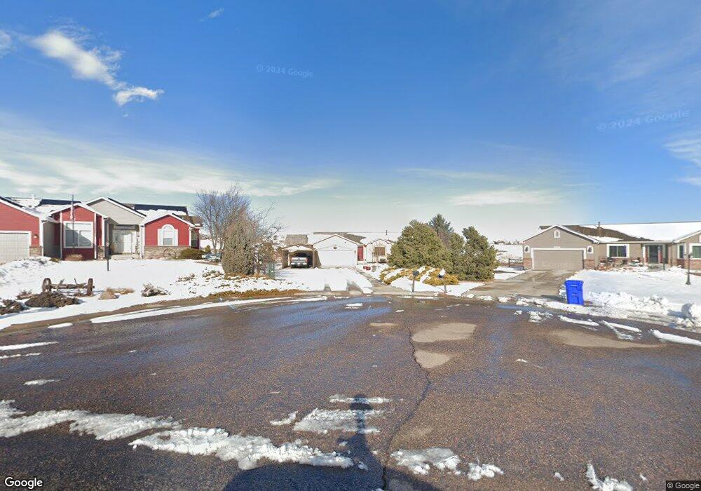
11729 Allendale Dr Peyton, CO 80831
Falcon NeighborhoodEstimated Value: $487,554 - $552,000
3
Beds
2
Baths
1,606
Sq Ft
$333/Sq Ft
Est. Value
About This Home
This home is located at 11729 Allendale Dr, Peyton, CO 80831 and is currently estimated at $534,139, approximately $332 per square foot. 11729 Allendale Dr is a home located in El Paso County with nearby schools including Bennett Ranch Elementary School, Falcon Middle School, and Falcon High School.
Ownership History
Date
Name
Owned For
Owner Type
Purchase Details
Closed on
Jul 19, 2002
Sold by
Fowler Jill
Bought by
George Edith E A
Current Estimated Value
Home Financials for this Owner
Home Financials are based on the most recent Mortgage that was taken out on this home.
Original Mortgage
$227,460
Outstanding Balance
$96,288
Interest Rate
6.69%
Mortgage Type
VA
Estimated Equity
$437,851
Purchase Details
Closed on
Dec 1, 2000
Sold by
Cucuzza Construction Inc
Bought by
Fowler Jill
Home Financials for this Owner
Home Financials are based on the most recent Mortgage that was taken out on this home.
Original Mortgage
$150,000
Interest Rate
7.84%
Create a Home Valuation Report for This Property
The Home Valuation Report is an in-depth analysis detailing your home's value as well as a comparison with similar homes in the area
Home Values in the Area
Average Home Value in this Area
Purchase History
| Date | Buyer | Sale Price | Title Company |
|---|---|---|---|
| George Edith E A | $223,000 | Security Title | |
| Fowler Jill | $206,809 | North American Title Co |
Source: Public Records
Mortgage History
| Date | Status | Borrower | Loan Amount |
|---|---|---|---|
| Open | George Edith E A | $227,460 | |
| Previous Owner | Fowler Jill | $150,000 |
Source: Public Records
Tax History
| Year | Tax Paid | Tax Assessment Tax Assessment Total Assessment is a certain percentage of the fair market value that is determined by local assessors to be the total taxable value of land and additions on the property. | Land | Improvement |
|---|---|---|---|---|
| 2025 | $2,712 | $33,590 | -- | -- |
| 2024 | $2,546 | $34,110 | $9,000 | $25,110 |
| 2023 | $2,546 | $34,110 | $9,000 | $25,110 |
| 2022 | $2,374 | $26,130 | $7,390 | $18,740 |
| 2021 | $2,416 | $26,880 | $7,600 | $19,280 |
| 2020 | $2,020 | $22,330 | $4,680 | $17,650 |
| 2019 | $1,974 | $22,330 | $4,680 | $17,650 |
| 2018 | $1,591 | $17,490 | $3,280 | $14,210 |
| 2017 | $1,485 | $17,490 | $3,280 | $14,210 |
| 2016 | $1,470 | $17,490 | $3,620 | $13,870 |
| 2015 | $1,542 | $17,490 | $3,620 | $13,870 |
| 2014 | $1,421 | $15,900 | $3,340 | $12,560 |
Source: Public Records
Map
Nearby Homes
- 11674 Allendale Dr
- 10467 Pictured Rocks Dr
- 11232 Allendale Dr
- 11280 Allendale Dr
- 10488 Cedar Breaks Dr
- 10429 Cedar Breaks Dr
- 10489 Cedar Breaks Dr
- 10342 Biscayne Dr
- 11650 Cranston Dr
- 10803 Greenbelt Dr
- 12784 Angelina Dr
- 12320 Grand Teton Dr
- 12144 Point Reyes Dr
- 9920 Glenellen Dr
- 10476 Ross Lake Dr
- 12252 Point Reyes Dr
- 12705 Angelina Dr
- 10603 Ross Lake Dr
- 12534 Angelina Dr
- 9630 Liberty Grove Dr
- 11737 Allendale Dr
- 11721 Allendale Dr
- 11745 Allendale Dr
- 11713 Allendale Dr
- 11730 Allendale Dr
- 11753 Allendale Dr
- 11746 Allendale Dr
- 11714 Allendale Dr
- 10075 Litchfield St
- 11761 Allendale Dr
- 10065 Litchfield St
- 11706 Allendale Dr
- 11697 Allendale Dr
- 10055 Litchfield St
- 11466 Asbee St
- 11698 Allendale Dr
- 10045 Litchfield St
- 11689 Allendale Dr
- 11451 Asbee St
- 11452 Asbee St
Your Personal Tour Guide
Ask me questions while you tour the home.