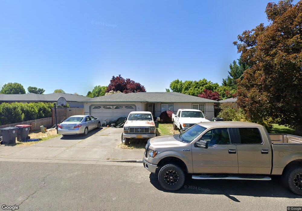
1173 Glengrove Ave Central Point, OR 97502
Estimated Value: $341,000 - $368,000
3
Beds
2
Baths
1,127
Sq Ft
$309/Sq Ft
Est. Value
About This Home
This home is located at 1173 Glengrove Ave, Central Point, OR 97502 and is currently estimated at $348,701, approximately $309 per square foot. 1173 Glengrove Ave is a home located in Jackson County with nearby schools including Central Point Elementary School, Scenic Middle School, and Crater High School.
Ownership History
Date
Name
Owned For
Owner Type
Purchase Details
Closed on
Apr 17, 2007
Sold by
Snow Michael W and Snow Debi
Bought by
Lyn Bishop Stephen D and Lyn Clifford Bishop Carrie
Current Estimated Value
Home Financials for this Owner
Home Financials are based on the most recent Mortgage that was taken out on this home.
Original Mortgage
$222,500
Outstanding Balance
$134,159
Interest Rate
6.1%
Mortgage Type
Purchase Money Mortgage
Estimated Equity
$214,542
Purchase Details
Closed on
Jun 19, 1998
Sold by
Lasater Eugene D and Lasater Sonya A
Bought by
Snow Michael W and Snow Debi
Home Financials for this Owner
Home Financials are based on the most recent Mortgage that was taken out on this home.
Original Mortgage
$104,796
Interest Rate
7.11%
Mortgage Type
FHA
Create a Home Valuation Report for This Property
The Home Valuation Report is an in-depth analysis detailing your home's value as well as a comparison with similar homes in the area
Home Values in the Area
Average Home Value in this Area
Purchase History
| Date | Buyer | Sale Price | Title Company |
|---|---|---|---|
| Lyn Bishop Stephen D | $222,500 | First American Title | |
| Snow Michael W | $105,300 | Amerititle |
Source: Public Records
Mortgage History
| Date | Status | Borrower | Loan Amount |
|---|---|---|---|
| Open | Lyn Bishop Stephen D | $222,500 | |
| Previous Owner | Snow Michael W | $104,796 |
Source: Public Records
Tax History Compared to Growth
Tax History
| Year | Tax Paid | Tax Assessment Tax Assessment Total Assessment is a certain percentage of the fair market value that is determined by local assessors to be the total taxable value of land and additions on the property. | Land | Improvement |
|---|---|---|---|---|
| 2025 | $2,921 | $175,690 | $69,960 | $105,730 |
| 2024 | $2,921 | $170,580 | $67,920 | $102,660 |
| 2023 | $2,827 | $165,620 | $65,940 | $99,680 |
| 2022 | $2,761 | $165,620 | $65,940 | $99,680 |
| 2021 | $2,682 | $160,800 | $64,020 | $96,780 |
| 2020 | $2,604 | $156,120 | $62,160 | $93,960 |
| 2019 | $2,540 | $147,170 | $58,590 | $88,580 |
| 2018 | $2,706 | $142,890 | $56,890 | $86,000 |
| 2017 | $2,401 | $142,890 | $56,890 | $86,000 |
| 2016 | $2,331 | $134,690 | $53,630 | $81,060 |
| 2015 | $2,233 | $134,690 | $53,630 | $81,060 |
| 2014 | $2,176 | $126,970 | $50,550 | $76,420 |
Source: Public Records
Map
Nearby Homes
- 1025 Fairfield Ave
- 1017 Fairfield Ave
- 3119 Merriman Rd
- 1060 Hopkins Rd
- 921 Pittview Ave
- 881 Westrop Dr
- 928 Brandi Way
- 460 Federal Way
- 811 O'Hare Pkwy
- 2825 Howard Ave
- 659 Herman Ave
- 851 Juanita Way
- 2772 Merriman Rd
- 745 Herman Ave
- 3358 Bursell Rd
- 3364 Bursell Rd
- 191 Mellecker Way
- 199 Mellecker Way
- 529 Black Bear Dr
- 3496 Edella St
- 1171 Glengrove Ave
- 1177 Glengrove Ave
- 103 Queens Gate Ct
- 1169 Glengrove Ave
- 1124 Angela Ct
- 1174 Glengrove Ave
- 1176 Glengrove Ave
- 1172 Glengrove Ave
- 105 Queens Gate Ct
- 1167 Glengrove Ave
- 1178 Glengrove Ave
- 1125 Paisley Ct
- 1118 Angela Ct
- 1183 Glengrove Ave
- 1168 Glengrove Ave
- 1182 Glengrove Ave
- 1163 Glengrove Ave
- 104 Queens Gate Ct
- 1119 Paisley Ct
- 106 Queens Gate Ct