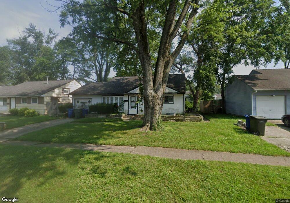
1173 Manfeld Dr Columbus, OH 43227
Shady Lane NeighborhoodEstimated Value: $179,482 - $247,000
3
Beds
2
Baths
1,008
Sq Ft
$208/Sq Ft
Est. Value
About This Home
This home is located at 1173 Manfeld Dr, Columbus, OH 43227 and is currently estimated at $209,371, approximately $207 per square foot. 1173 Manfeld Dr is a home located in Franklin County with nearby schools including Shady Lane Elementary School, Sherwood Middle School, and Walnut Ridge High School.
Ownership History
Date
Name
Owned For
Owner Type
Purchase Details
Closed on
Jun 16, 2022
Sold by
Revocable Trust
Bought by
Capoziello Michael A and Capoziello Sandra M
Current Estimated Value
Purchase Details
Closed on
Jun 15, 2000
Sold by
Capoziello Mamie C
Bought by
Capoziello Mamie C and Revocable Trust Of Mamie C Cap
Purchase Details
Closed on
Apr 8, 1980
Bought by
Capoziello Mamie C
Create a Home Valuation Report for This Property
The Home Valuation Report is an in-depth analysis detailing your home's value as well as a comparison with similar homes in the area
Home Values in the Area
Average Home Value in this Area
Purchase History
| Date | Buyer | Sale Price | Title Company |
|---|---|---|---|
| Capoziello Michael A | -- | Waugh Law Llc | |
| Capoziello Mamie C | -- | -- | |
| Capoziello Mamie C | -- | -- |
Source: Public Records
Tax History
| Year | Tax Paid | Tax Assessment Tax Assessment Total Assessment is a certain percentage of the fair market value that is determined by local assessors to be the total taxable value of land and additions on the property. | Land | Improvement |
|---|---|---|---|---|
| 2025 | $1,835 | $50,690 | $16,140 | $34,550 |
| 2024 | $1,835 | $50,690 | $16,140 | $34,550 |
| 2023 | $2,294 | $50,680 | $16,135 | $34,545 |
| 2022 | $937 | $27,760 | $6,060 | $21,700 |
| 2021 | $939 | $27,760 | $6,060 | $21,700 |
| 2020 | $941 | $27,760 | $6,060 | $21,700 |
| 2019 | $830 | $22,440 | $4,830 | $17,610 |
| 2018 | $824 | $22,440 | $4,830 | $17,610 |
| 2017 | $866 | $22,440 | $4,830 | $17,610 |
| 2016 | $902 | $22,370 | $5,010 | $17,360 |
| 2015 | $819 | $22,370 | $5,010 | $17,360 |
| 2014 | $821 | $22,370 | $5,010 | $17,360 |
| 2013 | $521 | $26,285 | $5,880 | $20,405 |
Source: Public Records
Map
Nearby Homes
- 4991 Justin Rd
- 1260 Country Club Rd
- 1310 Manfeld Dr
- 1211 Shady Lane Rd
- 935 Duke Rd
- 1472 Blaine Dr
- 931 Antwerp Rd
- 1193 Marble Dr
- 1470 Efner Dr
- 4819 Calvin Dr
- 1243 Simpson Dr
- 4530 Amesbury Rd
- 4677 E Livingston Ave
- 1085 S Hamilton Rd
- 1281 Maetzel Dr
- 4623 Langley Ave
- 4701 Janis Dr
- 1522 Devonhurst Dr
- 5495 Bradbury Ln
- 4467 Grimsby Rd
- 1171 Manfeld Dr
- 1175 Manfeld Dr
- 4977 Mcallister Ave
- 4985 Mcallister Ave
- 1177 Manfeld Dr
- 1169 Manfeld Dr
- 4969 Mcallister Ave
- 4993 Mcallister Ave
- 1186 Manfeld Dr
- 4961 Mcallister Ave
- 1188 Manfeld Dr
- 1184 Manfeld Dr
- 1179 Manfeld Dr
- 1190 Manfeld Dr
- 1182 Manfeld Dr
- 4953 Mcallister Ave
- 5001 Mcallister Ave
- 1165 Manfeld Dr
- 1181 Manfeld Dr
Your Personal Tour Guide
Ask me questions while you tour the home.