1173 Maple Leaf Ln Unit 12 Howell, MI 48843
Estimated Value: $373,000 - $407,000
4
Beds
3
Baths
1,960
Sq Ft
$197/Sq Ft
Est. Value
About This Home
This home is located at 1173 Maple Leaf Ln Unit 12, Howell, MI 48843 and is currently estimated at $386,323, approximately $197 per square foot. 1173 Maple Leaf Ln Unit 12 is a home located in Livingston County with nearby schools including Northwest Elementary School, Highlander Way Middle School, and Howell High School.
Ownership History
Date
Name
Owned For
Owner Type
Purchase Details
Closed on
Aug 13, 2009
Sold by
Lundgren Peter
Bought by
Lundgren Peter and Li Lin
Current Estimated Value
Purchase Details
Closed on
Jul 9, 2004
Sold by
Leedle James and Leedle Martha
Bought by
Rowe Harold and Rowe Kathleen
Home Financials for this Owner
Home Financials are based on the most recent Mortgage that was taken out on this home.
Original Mortgage
$225,000
Interest Rate
8.3%
Mortgage Type
Purchase Money Mortgage
Purchase Details
Closed on
Aug 15, 2002
Sold by
Rowe Harold Loyd and Rowe Kathleen Marie
Bought by
Leedle James and Leedle Martha
Purchase Details
Closed on
Dec 19, 2001
Sold by
Rowe Harold L and Rowe Kathleen Marie
Bought by
National City Mtg Company
Create a Home Valuation Report for This Property
The Home Valuation Report is an in-depth analysis detailing your home's value as well as a comparison with similar homes in the area
Home Values in the Area
Average Home Value in this Area
Purchase History
| Date | Buyer | Sale Price | Title Company |
|---|---|---|---|
| Lundgren Peter | -- | -- | |
| Rowe Harold | $207,000 | -- | |
| Leedle James | $230,000 | Crossroads Title | |
| National City Mtg Company | $164,728 | -- |
Source: Public Records
Mortgage History
| Date | Status | Borrower | Loan Amount |
|---|---|---|---|
| Previous Owner | Rowe Harold | $225,000 |
Source: Public Records
Tax History
| Year | Tax Paid | Tax Assessment Tax Assessment Total Assessment is a certain percentage of the fair market value that is determined by local assessors to be the total taxable value of land and additions on the property. | Land | Improvement |
|---|---|---|---|---|
| 2025 | $1,617 | $180,600 | $0 | $0 |
| 2024 | $1,571 | $173,000 | $0 | $0 |
| 2023 | $1,501 | $147,600 | $0 | $0 |
| 2022 | $698 | $123,600 | $0 | $0 |
| 2021 | $2,079 | $129,400 | $0 | $0 |
| 2020 | $2,103 | $123,600 | $0 | $0 |
| 2019 | $2,073 | $115,600 | $0 | $0 |
| 2018 | $2,054 | $103,000 | $0 | $0 |
| 2017 | $2,045 | $100,800 | $0 | $0 |
| 2016 | $2,010 | $97,800 | $0 | $0 |
| 2014 | $1,881 | $84,200 | $0 | $0 |
| 2012 | $1,881 | $78,200 | $0 | $0 |
Source: Public Records
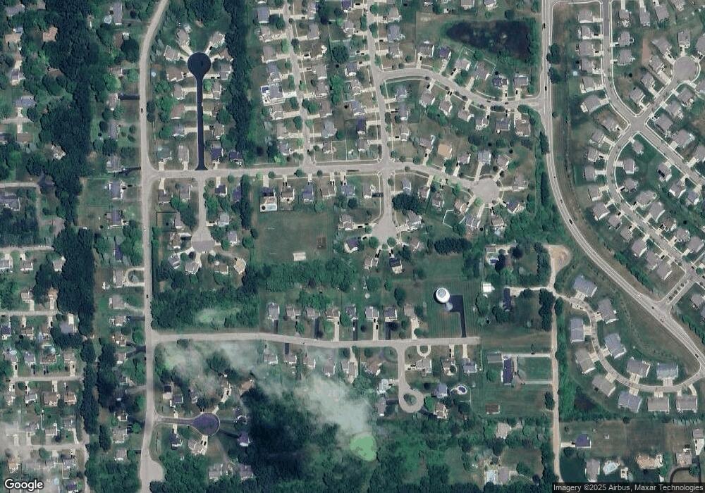
Map
Nearby Homes
- 2830 Bonny Brook Dr Unit 3
- 1570 Princewood Blvd
- 2643 Kerria Dr Unit 65
- 2511 Kerria Dr Unit 42
- VACANT LOT Thompson Shore Dr
- 475 Cannonade Loop
- 571 Cannonade Loop
- 2430 Hickory Circle Dr Unit 103
- 487 Cannonade Loop
- 559 Cannonade Loop
- 499 Cannonade Loop
- 607 Cannonade Loop
- 1315 Central Ave
- TBD Cannonade Loop
- 0 Eager Unit 293099
- 409 Lake St
- 325 Lake St
- 809 N Michigan Ave
- 2160 E Grand River Ave
- 2607 E Grand River Ave
- 1191 Maple Leaf Ln Unit 13
- 1155 Maple Leaf Ln
- 1160 Maple Leaf Ln
- 2716 Bonny Brook Dr Unit 15
- 1209 Maple Leaf Ln
- 2698 Bonny Brook Dr Unit 16
- 1178 Maple Leaf Ln
- 1196 Maple Leaf Ln Unit 8
- 2715 Turnberry Ct Unit 54
- 2729 Turnberry Ct Unit 55
- 2680 Bonny Brook Dr
- 2701 Turnberry Ct Unit 53
- 2701 Turnberry Ln
- 2743 Turnberry Ct Unit 56
- 2687 Turnberry Ln
- 2758 Bonny Brook Dr Unit 7
- 2687 Turnberry Ct Unit 52
- 2662 Bonny Brook Dr Unit 18
- 2776 Bonny Brook Dr
- 2757 Turnberry Ct
Your Personal Tour Guide
Ask me questions while you tour the home.