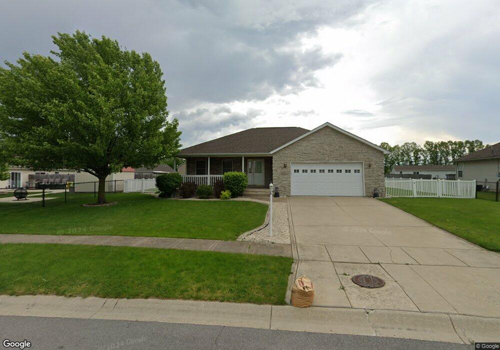
1173 Tanya St Chesterton, IN 46304
Estimated Value: $319,000 - $351,000
3
Beds
2
Baths
1,468
Sq Ft
$228/Sq Ft
Est. Value
About This Home
This home is located at 1173 Tanya St, Chesterton, IN 46304 and is currently estimated at $334,617, approximately $227 per square foot. 1173 Tanya St is a home located in Porter County with nearby schools including Newton Yost Elementary School, Westchester Intermediate School, and Chesterton Middle School.
Ownership History
Date
Name
Owned For
Owner Type
Purchase Details
Closed on
Jun 30, 2005
Sold by
Dyniewski Michael R
Bought by
Janis Leonard S and Janis Toni J
Current Estimated Value
Home Financials for this Owner
Home Financials are based on the most recent Mortgage that was taken out on this home.
Original Mortgage
$159,500
Outstanding Balance
$83,530
Interest Rate
5.71%
Mortgage Type
Fannie Mae Freddie Mac
Estimated Equity
$251,087
Purchase Details
Closed on
Feb 22, 2005
Sold by
Harbor Trails Llc
Bought by
Dyniewski Michael R
Home Financials for this Owner
Home Financials are based on the most recent Mortgage that was taken out on this home.
Original Mortgage
$140,000
Interest Rate
5.8%
Mortgage Type
Construction
Create a Home Valuation Report for This Property
The Home Valuation Report is an in-depth analysis detailing your home's value as well as a comparison with similar homes in the area
Home Values in the Area
Average Home Value in this Area
Purchase History
| Date | Buyer | Sale Price | Title Company |
|---|---|---|---|
| Janis Leonard S | -- | Ticor Title Insurance | |
| Dyniewski Michael R | -- | Ticor Title Ins |
Source: Public Records
Mortgage History
| Date | Status | Borrower | Loan Amount |
|---|---|---|---|
| Open | Janis Leonard S | $159,500 | |
| Previous Owner | Dyniewski Michael R | $140,000 |
Source: Public Records
Tax History Compared to Growth
Tax History
| Year | Tax Paid | Tax Assessment Tax Assessment Total Assessment is a certain percentage of the fair market value that is determined by local assessors to be the total taxable value of land and additions on the property. | Land | Improvement |
|---|---|---|---|---|
| 2024 | $3,144 | $329,400 | $44,000 | $285,400 |
| 2023 | $3,004 | $316,500 | $44,000 | $272,500 |
| 2022 | $2,984 | $292,100 | $44,000 | $248,100 |
| 2021 | $2,430 | $257,700 | $44,000 | $213,700 |
| 2020 | $2,431 | $254,400 | $38,200 | $216,200 |
| 2019 | $2,138 | $233,900 | $38,200 | $195,700 |
| 2018 | $2,210 | $228,000 | $38,200 | $189,800 |
| 2017 | $1,848 | $223,800 | $38,200 | $185,600 |
| 2016 | $1,605 | $185,300 | $38,400 | $146,900 |
| 2014 | $1,611 | $178,400 | $36,600 | $141,800 |
| 2013 | -- | $181,600 | $35,200 | $146,400 |
Source: Public Records
Map
Nearby Homes
- 1164 Tanya St
- 1609 Melanie Ln
- 337 Clifford Way
- 326 Clifford Way
- 1138 Weaver Way
- 1 Burns Blvd
- 0 Burns Blvd
- 357 Melton Rd
- 1162 Chesterfield Ave
- 1180 Harbor Way
- 1181 Harbor Way
- 1178 Harbor Way
- 1183 Harbor Way
- 322 Sherman Ave
- 1177 Harbor Way
- V/L U S 20
- 283 Melton Rd
- 2176 Mccool Rd
- 237 Cessna Dr
- 6698 Monument Ave