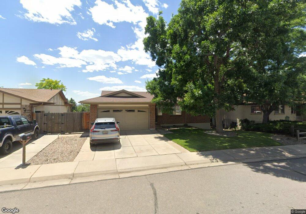
11730 W Atlantic Ave Lakewood, CO 80228
Green Mountain NeighborhoodEstimated Value: $578,767 - $649,000
3
Beds
3
Baths
1,315
Sq Ft
$472/Sq Ft
Est. Value
About This Home
This home is located at 11730 W Atlantic Ave, Lakewood, CO 80228 and is currently estimated at $620,442, approximately $471 per square foot. 11730 W Atlantic Ave is a home located in Jefferson County with nearby schools including Devinny Elementary School, Dunstan Middle School, and Green Mountain High School.
Ownership History
Date
Name
Owned For
Owner Type
Purchase Details
Closed on
Nov 6, 2008
Sold by
Leiker Mary C
Bought by
Leiker Mary C and Daniel L Leiker Family Trust
Current Estimated Value
Purchase Details
Closed on
May 10, 2007
Sold by
Leiker Daniel L
Bought by
Daniel L Leiker Revocable Trust
Purchase Details
Closed on
Feb 7, 2000
Sold by
Leiker Daniel L Leiker Mary C and Leiker Curtis E
Bought by
Leiker & Tholen Llc
Create a Home Valuation Report for This Property
The Home Valuation Report is an in-depth analysis detailing your home's value as well as a comparison with similar homes in the area
Home Values in the Area
Average Home Value in this Area
Purchase History
| Date | Buyer | Sale Price | Title Company |
|---|---|---|---|
| Leiker Mary C | -- | None Available | |
| Daniel L Leiker Revocable Trust | -- | None Available | |
| Mary C Leiker Revocable Trust | -- | None Available | |
| Leiker & Tholen Llc | -- | -- |
Source: Public Records
Tax History Compared to Growth
Tax History
| Year | Tax Paid | Tax Assessment Tax Assessment Total Assessment is a certain percentage of the fair market value that is determined by local assessors to be the total taxable value of land and additions on the property. | Land | Improvement |
|---|---|---|---|---|
| 2024 | $3,008 | $33,348 | $14,198 | $19,150 |
| 2023 | $3,008 | $33,348 | $14,198 | $19,150 |
| 2022 | $2,624 | $28,445 | $12,666 | $15,779 |
| 2021 | $2,662 | $29,263 | $13,030 | $16,233 |
| 2020 | $2,295 | $25,342 | $10,475 | $14,867 |
| 2019 | $2,265 | $25,342 | $10,475 | $14,867 |
| 2018 | $2,280 | $24,673 | $7,437 | $17,236 |
| 2017 | $2,004 | $24,673 | $7,437 | $17,236 |
| 2016 | $1,888 | $21,684 | $6,098 | $15,586 |
| 2015 | $1,676 | $21,684 | $6,098 | $15,586 |
| 2014 | $1,676 | $17,637 | $5,578 | $12,059 |
Source: Public Records
Map
Nearby Homes
- 1901 S Union Place
- 11165 W Asbury Ave
- 1847 S Union Blvd Unit 36
- 1865 S Union Blvd
- 2064 S Robb Way
- 1822 S Robb St
- 2252 S Queen St
- 1799 S Van Gordon Ct
- 11904 W Auburn Dr
- 2154 S Parfet Dr
- 2061 S Youngfield St
- 12807 W Adriatic Ave
- 10866 W Evans Ave Unit 56
- 10890 W Evans Ave Unit 2E
- 12711 W Jewell Cir
- 2164 S Zang Way
- 1577 S Pierson St
- 1454 S Urban Way
- 2037 S Welch Cir
- 10490 W Jewell Ave Unit C
- 11750 W Atlantic Ave
- 11710 W Atlantic Ave
- 11773 W Asbury Dr
- 11823 W Asbury Dr
- 11770 W Atlantic Ave
- 11733 W Asbury Dr
- 1953 S Swadley St
- 11853 W Asbury Dr
- 11759 W Atlantic Ave
- 1956 S Taft St
- 1958 S Taft St
- 1962 S Swadley St
- 1943 S Swadley St
- 11799 W Atlantic Ave
- 1956 S Swadley St
- 1964 S Taft St
- 1964 S Swadley St
- 1952 S Swadley St
- 11774 W Asbury Dr
- 1967 S Swadley St