11738 Rolling Dr Rogers, AR 72756
Estimated Value: $263,939 - $381,000
Studio
2
Baths
1,354
Sq Ft
$228/Sq Ft
Est. Value
About This Home
This home is located at 11738 Rolling Dr, Rogers, AR 72756 and is currently estimated at $308,735, approximately $228 per square foot. 11738 Rolling Dr is a home located in Benton County with nearby schools including Frank Tillery Elementary School, Lingle Middle School, and Rogers Heritage High School.
Ownership History
Date
Name
Owned For
Owner Type
Purchase Details
Closed on
Apr 30, 2020
Sold by
Nading Rita
Bought by
Mcerloy Bobby L
Current Estimated Value
Home Financials for this Owner
Home Financials are based on the most recent Mortgage that was taken out on this home.
Original Mortgage
$126,262
Outstanding Balance
$112,271
Interest Rate
3.6%
Mortgage Type
New Conventional
Estimated Equity
$196,464
Purchase Details
Closed on
May 29, 2009
Sold by
Varnell Doris J
Bought by
Nading Rita
Create a Home Valuation Report for This Property
The Home Valuation Report is an in-depth analysis detailing your home's value as well as a comparison with similar homes in the area
Home Values in the Area
Average Home Value in this Area
Purchase History
| Date | Buyer | Sale Price | Title Company |
|---|---|---|---|
| Mcerloy Bobby L | $125,000 | Pci Advance Title | |
| Nading Rita | -- | Waco Title Company |
Source: Public Records
Mortgage History
| Date | Status | Borrower | Loan Amount |
|---|---|---|---|
| Open | Mcerloy Bobby L | $126,262 |
Source: Public Records
Tax History
| Year | Tax Paid | Tax Assessment Tax Assessment Total Assessment is a certain percentage of the fair market value that is determined by local assessors to be the total taxable value of land and additions on the property. | Land | Improvement |
|---|---|---|---|---|
| 2025 | $1,471 | $43,770 | $5,112 | $38,658 |
| 2024 | $1,324 | $43,770 | $5,112 | $38,658 |
| 2023 | $1,261 | $26,220 | $3,690 | $22,530 |
| 2022 | $1,131 | $26,220 | $3,690 | $22,530 |
| 2021 | $1,127 | $26,220 | $3,690 | $22,530 |
| 2020 | $784 | $19,550 | $1,080 | $18,470 |
| 2019 | $1,159 | $19,550 | $1,080 | $18,470 |
| 2018 | $1,159 | $19,550 | $1,080 | $18,470 |
| 2017 | $740 | $19,550 | $1,080 | $18,470 |
| 2016 | $740 | $19,550 | $1,080 | $18,470 |
| 2015 | $1,077 | $22,400 | $3,620 | $18,780 |
| 2014 | $877 | $22,400 | $3,620 | $18,780 |
Source: Public Records
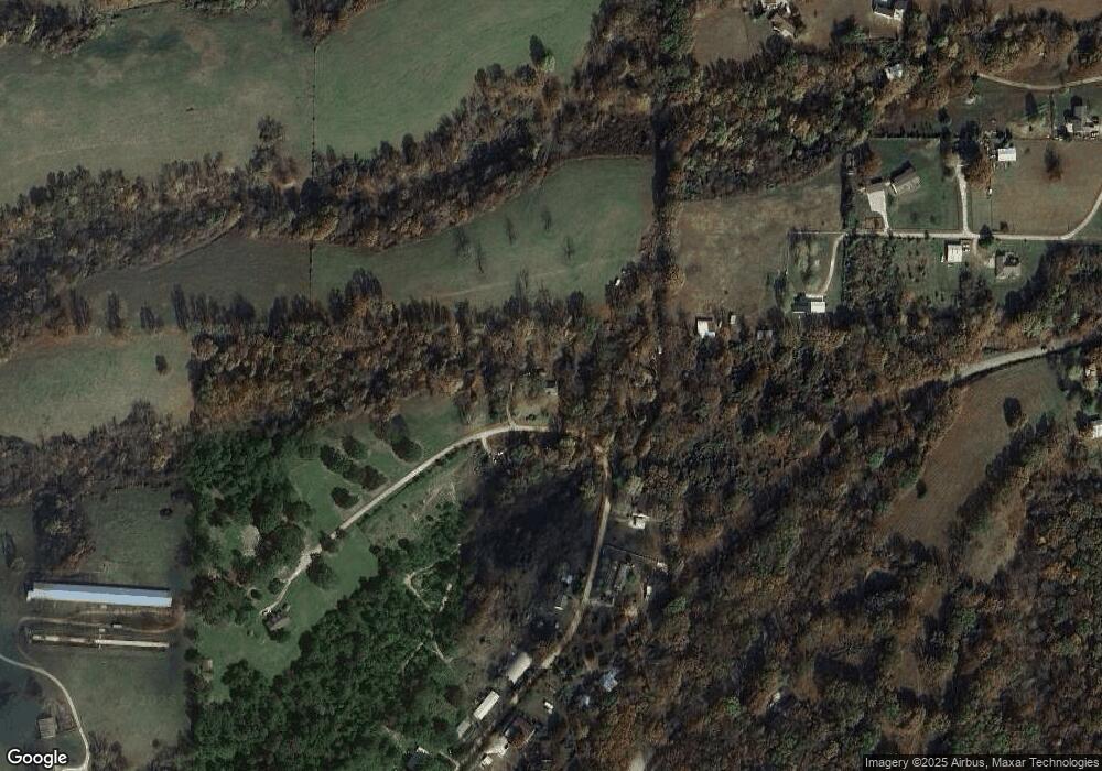
Map
Nearby Homes
- 15622 Coose Hollow Dr
- 12238 Cavewood Rd
- 15722 Little Beaver Ln
- 0 Hawks Landing Dr Unit 1316911
- Lot 10 Hawks Nest Dr
- 15112 Mills Terrace
- 11258 Silver Cloud Trail
- 15049 White Fawn Dr
- 15373 Mills Terrace
- 15124 White Fawn Dr
- 15903 Hawks Landing Dr
- 10625 Bluewater Passage
- 11323 Coose Hollow Park
- 10635 Prairie Creek Rd N
- 353 E Rose St
- 15854 Abbey Ln
- 10288 & 10229 Deer Ridge Rd
- 150 N Highway 62
- 16969 Posy Mountain Rd
- 10043 Napa Rd
- 11734 Rolling Dr
- 11730 Rolling Dr
- 11617 Rolling Dr
- 11849 Guyll Ridge Rd
- 11425 County Road 74
- 11790 Rolling Dr
- 11799 Rolling Dr
- 11597 Rolling Dr
- 11640 Guyll Ridge Rd
- 11871 Guyll Ridge Rd
- 11943 Guyll Ridge Rd
- 11825 Guyll Ridge Rd
- 11546 Rolling Dr
- 11786 Guyll Ridge Rd
- 1520 Rolling Hills
- 20534 Indian Hills Blvd
- 11513 Walkenbach Rd
- 11869 Guyll Ridge Rd
- 11530 Guyll Ridge Rd
- 11937 Guyll Ridge Rd
Your Personal Tour Guide
Ask me questions while you tour the home.