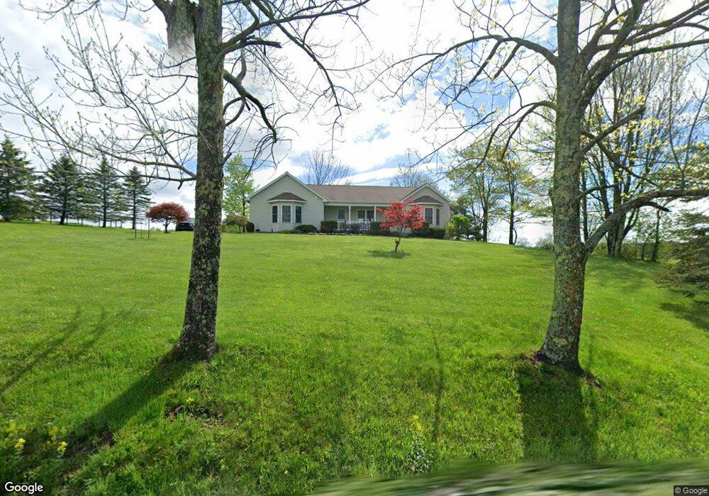
1174 Carley Brook Rd Honesdale, PA 18431
Estimated Value: $295,000 - $386,270
3
Beds
3
Baths
1,580
Sq Ft
$227/Sq Ft
Est. Value
About This Home
This home is located at 1174 Carley Brook Rd, Honesdale, PA 18431 and is currently estimated at $359,068, approximately $227 per square foot. 1174 Carley Brook Rd is a home located in Wayne County with nearby schools including Honesdale High School.
Ownership History
Date
Name
Owned For
Owner Type
Purchase Details
Closed on
Jul 19, 2022
Sold by
Joanne Kropf
Bought by
Kropf Vicki
Current Estimated Value
Home Financials for this Owner
Home Financials are based on the most recent Mortgage that was taken out on this home.
Original Mortgage
$67,000
Outstanding Balance
$63,820
Interest Rate
5.23%
Mortgage Type
Seller Take Back
Estimated Equity
$295,248
Purchase Details
Closed on
Aug 17, 2012
Sold by
Kropf Joanne
Bought by
Kropf Joanne
Create a Home Valuation Report for This Property
The Home Valuation Report is an in-depth analysis detailing your home's value as well as a comparison with similar homes in the area
Home Values in the Area
Average Home Value in this Area
Purchase History
| Date | Buyer | Sale Price | Title Company |
|---|---|---|---|
| Kropf Vicki | $67,000 | New Title Company Name | |
| Kropf Joanne | -- | None Available |
Source: Public Records
Mortgage History
| Date | Status | Borrower | Loan Amount |
|---|---|---|---|
| Open | Kropf Vicki | $67,000 |
Source: Public Records
Tax History Compared to Growth
Tax History
| Year | Tax Paid | Tax Assessment Tax Assessment Total Assessment is a certain percentage of the fair market value that is determined by local assessors to be the total taxable value of land and additions on the property. | Land | Improvement |
|---|---|---|---|---|
| 2025 | $4,780 | $284,800 | $75,100 | $209,700 |
| 2024 | $4,562 | $284,800 | $75,100 | $209,700 |
| 2023 | $6,446 | $284,800 | $75,100 | $209,700 |
| 2022 | $4,572 | $187,100 | $41,800 | $145,300 |
| 2021 | $4,527 | $187,100 | $41,800 | $145,300 |
| 2020 | $4,527 | $187,100 | $41,800 | $145,300 |
| 2019 | $4,229 | $187,100 | $41,800 | $145,300 |
| 2018 | $4,118 | $187,100 | $41,800 | $145,300 |
| 2017 | $3,838 | $187,100 | $41,800 | $145,300 |
| 2016 | $3,890 | $187,100 | $41,800 | $145,300 |
| 2014 | -- | $187,100 | $41,800 | $145,300 |
Source: Public Records
Map
Nearby Homes
- 394 Dennis Rd
- 308 Valley Ridge Rd
- 1920 Hancock Hwy Unit B
- 25 Leaf Dr
- 73 Stevenson Spur
- 0 Bryn Mawr Rd
- 19 Oregon Turnpike
- 70 Spring Wood Trail
- 330 Wescott Rd
- 1046 Cochecton Turnpike
- 0 Highhouse Rd
- 7 Terrace Ln
- Canfield Rd Lot Unit WP001
- 0 Canfield Rd
- 191 Kratz Rd
- 479 Ash St
- 105 Grimms Rd
- 154 Slish Rd
- 55 Lake Shore Dr
- 57 Lake Shore Dr
- 1171 Carley Brook Rd
- 1171 Carley Brook Rd
- 1178 Carley Brook Rd
- 1157 Carley Brook Rd
- 1190 Carley Brook Rd
- 1143 Carley Brook Rd
- 1125 Carley Brook Rd
- 777 Oregon Turnpike
- 756 Oregon Turnpike
- 757 Oregon Turnpike
- 560 Gridline Rd
- 821 Eighmy Rd
- 821 T R 566
- 740 Oregon Turnpike
- 28 Bullhead Pond Trail
- 15 Blueberry Hill Dr
- 1105 Carley Brook Rd
- 728 Oregon Turnpike
- 1082 Carley Brook Rd
- 759 Eighmy Rd