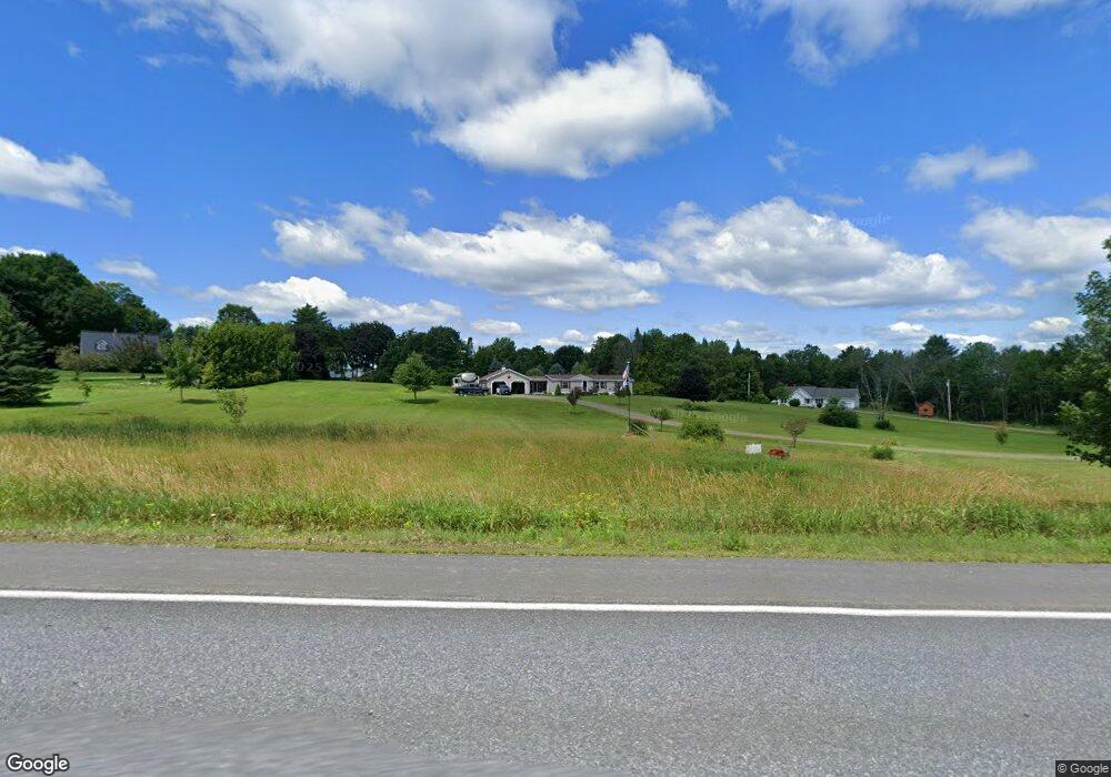
1174 Riverside Dr Vassalboro, ME 04989
Estimated Value: $197,865 - $305,000
--
Bed
--
Bath
--
Sq Ft
4.67
Acres
About This Home
This home is located at 1174 Riverside Dr, Vassalboro, ME 04989 and is currently estimated at $258,966. 1174 Riverside Dr is a home with nearby schools including Vassalboro Community School.
Ownership History
Date
Name
Owned For
Owner Type
Purchase Details
Closed on
Sep 16, 2016
Sold by
Brown Mark F
Bought by
Brown Mark F and Blaisdell Charlene A
Current Estimated Value
Home Financials for this Owner
Home Financials are based on the most recent Mortgage that was taken out on this home.
Original Mortgage
$97,000
Interest Rate
3.43%
Mortgage Type
Commercial
Create a Home Valuation Report for This Property
The Home Valuation Report is an in-depth analysis detailing your home's value as well as a comparison with similar homes in the area
Home Values in the Area
Average Home Value in this Area
Purchase History
| Date | Buyer | Sale Price | Title Company |
|---|---|---|---|
| Brown Mark F | -- | -- |
Source: Public Records
Mortgage History
| Date | Status | Borrower | Loan Amount |
|---|---|---|---|
| Closed | Brown Mark F | $97,000 |
Source: Public Records
Tax History Compared to Growth
Tax History
| Year | Tax Paid | Tax Assessment Tax Assessment Total Assessment is a certain percentage of the fair market value that is determined by local assessors to be the total taxable value of land and additions on the property. | Land | Improvement |
|---|---|---|---|---|
| 2024 | $1,932 | $144,900 | $53,000 | $91,900 |
| 2023 | $1,856 | $145,900 | $53,000 | $92,900 |
| 2022 | $1,765 | $122,600 | $44,200 | $78,400 |
| 2021 | $1,787 | $123,400 | $44,200 | $79,200 |
| 2020 | $1,784 | $124,300 | $44,200 | $80,100 |
| 2019 | $1,760 | $112,800 | $39,800 | $73,000 |
| 2018 | $1,755 | $113,600 | $39,800 | $73,800 |
| 2017 | $1,665 | $114,400 | $39,800 | $74,600 |
| 2016 | $1,246 | $88,700 | $39,800 | $48,900 |
| 2015 | $1,229 | $89,700 | $39,800 | $49,900 |
| 2014 | $1,161 | $90,700 | $39,800 | $50,900 |
| 2013 | $1,139 | $101,700 | $44,200 | $57,500 |
Source: Public Records
Map
Nearby Homes
- 1157 Riverside Dr
- 93 Cushnoc Rd
- 33 Hunt Rd
- 320 Webber Pond Rd
- 817 Riverside Dr
- 795 Riverside Dr
- 2198 Eight Rod Rd
- 1618 Riverside Dr
- M.7 Lot 4D Church Hill Rd
- Lot 0 Church Hill Rd
- 492 Webber Pond Rd
- M 55, L3 Riverside Dr
- 546 Webber Pond Rd
- 597 Riverside Dr
- 0 Webber Pond Rd Unit 1634956
- 1 Pine Grove Ln
- 28 Anderson Ln
- 2532 Middle Rd
- 23 Arnold Rd
- 36 Lees Ct
- 1162 Riverside Dr
- 49 Cushnoc Rd
- 1188 Riverside Dr
- 41 Cushnoc Rd
- 57 Cushnoc Rd
- 42 Cushnoc Rd
- 1185 Riverside Dr
- 1161 Riverside Dr
- 34 Cushnoc Rd
- 62 Cushnoc Rd
- 26 Cushnoc Rd
- 25 Cushnoc Rd
- 17 Cushnoc Rd
- 71 Cushnoc Rd
- 16 Cushnoc Rd
- 3 Old Stage Rd
- 16 Old Stage Rd
- 1125 Riverside Dr
- 1227 Riverside Dr
- 30 Cushnoc Rd