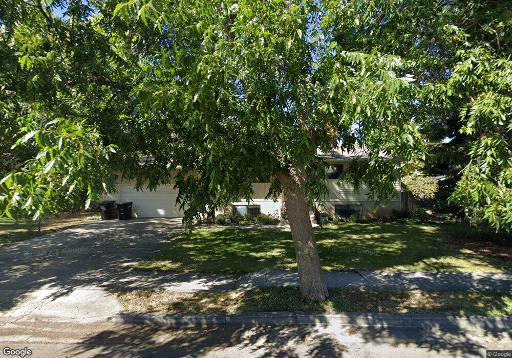
1174 S 980 E Springville, UT 84663
East Hobble Creek NeighborhoodEstimated Value: $476,000 - $551,000
5
Beds
2
Baths
2,240
Sq Ft
$225/Sq Ft
Est. Value
About This Home
This home is located at 1174 S 980 E, Springville, UT 84663 and is currently estimated at $503,546, approximately $224 per square foot. 1174 S 980 E is a home located in Utah County with nearby schools including Sage Creek Elementary, Springville High School, and Springville Junior High School.
Ownership History
Date
Name
Owned For
Owner Type
Purchase Details
Closed on
Sep 28, 2023
Sold by
Warner Kenneth W and Warner Sharon O
Bought by
Castillo Sandra Citali Vine and Castillo Jesus Alejandro
Current Estimated Value
Home Financials for this Owner
Home Financials are based on the most recent Mortgage that was taken out on this home.
Original Mortgage
$446,103
Outstanding Balance
$435,621
Interest Rate
7.09%
Mortgage Type
New Conventional
Estimated Equity
$67,925
Purchase Details
Closed on
Jul 12, 2007
Sold by
Tullis Michael L and Tullis Susan S
Bought by
Warner Kenneth W and Warner Sharon O
Home Financials for this Owner
Home Financials are based on the most recent Mortgage that was taken out on this home.
Original Mortgage
$183,200
Interest Rate
6.41%
Mortgage Type
Purchase Money Mortgage
Create a Home Valuation Report for This Property
The Home Valuation Report is an in-depth analysis detailing your home's value as well as a comparison with similar homes in the area
Home Values in the Area
Average Home Value in this Area
Purchase History
| Date | Buyer | Sale Price | Title Company |
|---|---|---|---|
| Castillo Sandra Citali Vine | -- | Inwest Title | |
| Warner Kenneth W | -- | Old Republic Title Company |
Source: Public Records
Mortgage History
| Date | Status | Borrower | Loan Amount |
|---|---|---|---|
| Open | Castillo Sandra Citali Vine | $446,103 | |
| Previous Owner | Warner Kenneth W | $183,200 |
Source: Public Records
Tax History
| Year | Tax Paid | Tax Assessment Tax Assessment Total Assessment is a certain percentage of the fair market value that is determined by local assessors to be the total taxable value of land and additions on the property. | Land | Improvement |
|---|---|---|---|---|
| 2025 | $2,151 | $232,925 | -- | -- |
| 2024 | $2,151 | $220,385 | $0 | $0 |
| 2023 | $2,108 | $216,150 | $0 | $0 |
| 2022 | $2,116 | $213,125 | $0 | $0 |
| 2021 | $1,854 | $290,700 | $95,500 | $195,200 |
| 2020 | $1,773 | $269,500 | $79,600 | $189,900 |
| 2019 | $1,688 | $261,200 | $79,600 | $181,600 |
| 2018 | $1,598 | $235,900 | $72,400 | $163,500 |
| 2017 | $1,529 | $119,900 | $0 | $0 |
| 2016 | $1,429 | $109,835 | $0 | $0 |
| 2015 | $1,290 | $101,365 | $0 | $0 |
| 2014 | $1,194 | $93,225 | $0 | $0 |
Source: Public Records
Map
Nearby Homes
- 1121 W 1800 N
- 949 S 1060 E
- 1264 E 1150 S
- 899 E 800 S
- 1403 S 625 E
- 1518 S 600 E
- 598 W 1600 N
- 1697 N 500 W
- 677 E 800 South St
- 883 E 700 S
- 1525 S 400 E Unit 36
- 1518 E Pheasant Run Dr
- 1410 W 1200 N
- 405 W 1200 N Unit 4
- 487 W 1200 N Unit 1
- 1618 E 970 S
- 579 E 800 St S
- 629 E 800 St S
- 145 W Carnesecca Ct
- 645 Swenson Ave Unit 5
- 970 E 1150 S
- 1186 S 980 E
- 1191 S 950 E
- 1171 S 950 E
- 1179 S 980 E
- 1109 E 1200 S
- 1167 S 980 E
- 1112 E 1200 S
- 1215 S 950 E
- 1198 S 980 E
- 1119 E 1200 S
- 1201 S 980 E Unit 2
- 1202 S 980 E Unit 3
- 1124 E 1200 S Unit 71
- 1124 E 1200 S
- 1203 S 980 E Unit 4
- 1191 S 980 E
- 1131 E 1200 S
- 1136 E 1200 S Unit 70
- 1136 E 1200 S
Your Personal Tour Guide
Ask me questions while you tour the home.