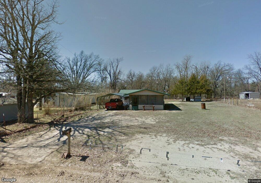
117492 S 4208 Rd Eufaula, OK 74432
Estimated Value: $47,000 - $174,000
1
Bed
1
Bath
660
Sq Ft
$145/Sq Ft
Est. Value
About This Home
This home is located at 117492 S 4208 Rd, Eufaula, OK 74432 and is currently estimated at $95,671, approximately $144 per square foot. 117492 S 4208 Rd is a home with nearby schools including Eufaula Elementary School, Eufaula Middle School, and Eufaula High School.
Ownership History
Date
Name
Owned For
Owner Type
Purchase Details
Closed on
Jan 23, 2013
Sold by
Collins James V
Bought by
Collins James and Collins James
Current Estimated Value
Purchase Details
Closed on
Mar 3, 2006
Sold by
Beaver Clarence R and Beaver Charity G
Bought by
Collins James
Purchase Details
Closed on
Jul 14, 2003
Sold by
Aldridge
Bought by
Killblane
Purchase Details
Closed on
Jan 30, 2002
Sold by
Durossette
Bought by
Aldridge
Purchase Details
Closed on
Jun 9, 2000
Sold by
Mills
Bought by
Durossette
Purchase Details
Closed on
Feb 7, 1995
Sold by
Bailey
Bought by
Mills
Create a Home Valuation Report for This Property
The Home Valuation Report is an in-depth analysis detailing your home's value as well as a comparison with similar homes in the area
Home Values in the Area
Average Home Value in this Area
Purchase History
| Date | Buyer | Sale Price | Title Company |
|---|---|---|---|
| Collins James | -- | None Available | |
| Collins James | $16,000 | None Available | |
| Beavre Clarnce R | $10,500 | None Available | |
| Killblane | $10,000 | -- | |
| Aldridge | $10,000 | -- | |
| Durossette | $5,500 | -- | |
| Mills | $12,000 | -- |
Source: Public Records
Tax History
| Year | Tax Paid | Tax Assessment Tax Assessment Total Assessment is a certain percentage of the fair market value that is determined by local assessors to be the total taxable value of land and additions on the property. | Land | Improvement |
|---|---|---|---|---|
| 2025 | $278 | $3,176 | $276 | $2,900 |
| 2024 | $264 | $3,178 | $309 | $2,869 |
| 2023 | $264 | $2,882 | $220 | $2,662 |
| 2022 | $228 | $2,745 | $220 | $2,525 |
| 2021 | $219 | $2,614 | $220 | $2,394 |
| 2020 | $219 | $2,614 | $220 | $2,394 |
| 2019 | $221 | $2,614 | $220 | $2,394 |
| 2018 | $218 | $2,614 | $220 | $2,394 |
| 2017 | $218 | $2,614 | $220 | $2,394 |
| 2016 | $210 | $2,511 | $220 | $2,291 |
| 2015 | $203 | $2,457 | $220 | $2,237 |
| 2014 | $195 | $2,381 | $220 | $2,161 |
Source: Public Records
Map
Nearby Homes
- 989 Sequoyah Dr
- 0 Comanche Dr Unit OKC1219168
- 0 Quapaw Dr
- 229 Seminole Dr
- 230 Seminole Dr
- 0 Quapaw St Unit 2540983
- 0 Choctaw Dr Unit 2515676
- 0 Choctaw Dr Unit 2515656
- 4 E 1200
- 6 E 1200
- 8 E 1200
- 1048 Robin Hood Rd
- 589 Mohawk
- 701 Lakeshore Dr
- 721 Mohawk Dr
- 120347 S 4186 Rd
- 120290 S 4182 Rd
- 59 Marian Ln
- 0 Marian Ln
- 0 Marian Ln Unit 1193433
- 238A Rr 5
- 836 Osage Dr
- 856 Apache Dr
- 856 Apache Dr
- 847 Apache Dr
- 855 Apache Dr
- 879 Osage Dr
- 817 Osage Dr
- 836 Cheyenne Dr
- 225 Cheyenne Dr
- 238 Rr 5
- 806 Apache Dr
- 846 Cheyenne Dr
- 807 Osage Dr
- 808 Osage Dr
- 0 Cheyenne Dr
- 0 Sequoyah Dr Unit 2318263
- 0 Sequoyah Dr Unit 2311415
- 0 Sequoyah Dr Unit 1053455
- 0 Sequoyah Dr Unit 2119601
Your Personal Tour Guide
Ask me questions while you tour the home.