1175 Arbor Ct Lake Bluff, IL 60044
Estimated Value: $1,133,000 - $2,364,000
About This Home
This home is located at 1175 Arbor Ct, Lake Bluff, IL 60044 and is currently estimated at $1,732,479, approximately $350 per square foot. 1175 Arbor Ct is a home located in Lake County with nearby schools including Lake Bluff Elementary School, Lake Bluff Middle School, and Lake Forest High School.
Ownership History
We collect this data history from publicly available records. To have your information removed, we recommend requesting removal directly through your county’s website.
Purchase Details
Home Financials for this Owner
Home Financials are based on the most recent Mortgage that was taken out on this home.Purchase Details
Home Values in the Area
Average Home Value in this Area
Purchase History
We collect this data history from publicly available records. To have your information removed, we recommend requesting removal directly through your county’s website.
| Date | Buyer | Sale Price | Title Company |
|---|---|---|---|
| $555,000 | Chicago Title Insurance Co | ||
| -- | -- |
Mortgage History
We collect this data history from publicly available records. To have your information removed, we recommend requesting removal directly through your county’s website.
| Date | Status | Borrower | Loan Amount |
|---|---|---|---|
| Previous Owner | $250,000 |
Tax History
We collect this data history from publicly available records. To have your information removed, we recommend requesting removal directly through your county’s website.
| Year | Tax Paid | Tax Assessment Tax Assessment Total Assessment is a certain percentage of the fair market value that is determined by local assessors to be the total taxable value of land and additions on the property. | Land | Improvement |
|---|---|---|---|---|
| 2025 | $25,027 | $394,030 | $301,166 | $92,864 |
| 2024 | $24,334 | $379,642 | $290,169 | $89,473 |
| 2023 | $27,709 | $349,965 | $267,486 | $82,479 |
| 2022 | $27,709 | $391,694 | $247,708 | $143,986 |
| 2021 | $26,746 | $388,316 | $245,572 | $142,744 |
| 2020 | $26,162 | $390,463 | $246,930 | $143,533 |
| 2019 | $24,838 | $383,295 | $242,397 | $140,898 |
| 2018 | $26,562 | $383,295 | $268,816 | $114,479 |
| 2017 | $28,723 | $449,963 | $264,323 | $185,640 |
| 2016 | $27,698 | $475,328 | $251,592 | $223,736 |
| 2015 | $30,547 | $447,578 | $236,904 | $210,674 |
| 2014 | $24,456 | $359,082 | $178,683 | $180,399 |
| 2012 | $22,928 | $362,197 | $180,233 | $181,964 |
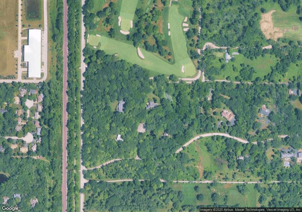
Map
- 188 Melvin Dr
- 233 Kohl Ave
- 45 Warrington Dr
- 850 Carlyle Cir
- 32 Warrington Dr
- 227 Juneway Terrace
- 12 Warrington Dr
- 240 Shore Acres Cir
- 301 Belle Foret Dr
- 348 E Woodland Rd
- 117 E Washington Ave
- 209 E Washington Ave
- 120 E Scranton Ave Unit 103
- 214 Hancock Ave
- 697 Bluff Rd
- 230 W Center Ave
- 461 Rockland Ave
- 625 E Center Ave
- 552 Sunrise Ave
- 366 Birkdale Rd
- 1150 Arbor Ct
- 200 Arbor Dr
- 100 Arbor Dr
- 300 Arbor Dr
- 270 Arden Shore Dr
- 280 Arden Shore Dr
- 300 Arden Shore Dr
- 375 Arbor Dr
- 400 Arbor Dr
- 1025 Campbell Ct
- 1021 Campbell Ct
- 1017 Campbell Ct
- 1013 Campbell Ct
- 1009 Campbell Ct
- 1005 Campbell Ct
- 1029 Campbell Ct
- 1001 Campbell Ct
- 1024 Campbell Ct
- 1000 Campbell Ct
- 1016 Campbell Ct
Ask me questions while you tour the home.