1175 Ferry Rd Lopez Island, WA 98261
Estimated Value: $1,499,000 - $2,368,000
--
Bed
--
Bath
2,495
Sq Ft
$745/Sq Ft
Est. Value
About This Home
This home is located at 1175 Ferry Rd, Lopez Island, WA 98261 and is currently estimated at $1,859,144, approximately $745 per square foot. 1175 Ferry Rd is a home with nearby schools including Lopez Elementary School and Lopez Middle High School.
Ownership History
Date
Name
Owned For
Owner Type
Purchase Details
Closed on
May 13, 2010
Sold by
Oster Charlton Trevor and Estate Of Christy Lynn William
Bought by
Oster Charlton Trevor and Williams Family Trust
Current Estimated Value
Purchase Details
Closed on
Jan 26, 2005
Sold by
William Edna B and William John H
Bought by
Williams Christy L
Create a Home Valuation Report for This Property
The Home Valuation Report is an in-depth analysis detailing your home's value as well as a comparison with similar homes in the area
Home Values in the Area
Average Home Value in this Area
Purchase History
| Date | Buyer | Sale Price | Title Company |
|---|---|---|---|
| Oster Charlton Trevor | -- | None Available | |
| Williams Christy L | -- | San Juan Title Ins |
Source: Public Records
Tax History Compared to Growth
Tax History
| Year | Tax Paid | Tax Assessment Tax Assessment Total Assessment is a certain percentage of the fair market value that is determined by local assessors to be the total taxable value of land and additions on the property. | Land | Improvement |
|---|---|---|---|---|
| 2024 | $8,775 | $1,514,420 | $521,870 | $992,550 |
| 2023 | $8,775 | $1,485,800 | $521,870 | $963,930 |
| 2022 | $8,472 | $1,353,090 | $522,030 | $831,060 |
| 2021 | $7,362 | $1,084,200 | $435,020 | $649,180 |
| 2020 | $7,052 | $949,660 | $435,020 | $514,640 |
| 2019 | $6,197 | $916,760 | $435,020 | $481,740 |
| 2018 | $5,240 | $1,173,820 | $804,420 | $369,400 |
| 2017 | $4,786 | $629,150 | $382,150 | $247,000 |
| 2016 | $4,373 | $683,830 | $449,580 | $234,250 |
| 2015 | $4,373 | $696,690 | $449,580 | $247,110 |
| 2014 | $4,373 | $720,050 | $408,780 | $311,270 |
| 2012 | $4,373 | $706,330 | $408,780 | $297,550 |
Source: Public Records
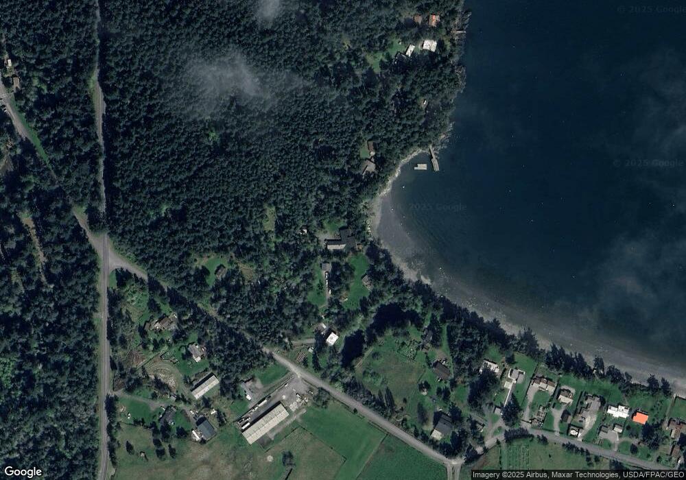
Map
Nearby Homes
- 783 Ferry Rd
- 755 Ferry Rd
- 137 Forest Ln
- 239 Shoreland Dr
- 162 Sea Ranch Rd
- 331 Nelson Ln
- 230 Gem Farm Ln
- 104 Estenson Rd
- 264 Shaw Park Rd
- 95 Weeks Rd
- 1372 Bakerview Rd
- 86 Shag Rock Ln
- 296 Shag Rock Ln
- 315 Mariner Dr
- 281 Maritime Rd
- 335 Blakely Dr
- 1486 Center Rd
- 1898 Bayshore Rd
- 125 Mossywoods Ln
- 295 Rum Runner Rd
- 108 Naylor Close Ln
- 277 Otter Rd
- 149 Port Stanley Rd
- 0 Port Stanley Rd
- 207 Port Stanley Rd
- 13 Naylor Close Ln
- 215 Otter Rd
- 343 Port Stanley Rd
- 207 Otter Rd
- 80 Port Stanley Rd
- 1301 Ferry Rd
- 323 Port Stanley Rd
- 353 Port Stanley Rd
- 1027 Ferry Rd
- 361 Port Stanley Rd
- 381 Port Stanley Rd
- 401 Port Stanley Rd
- 252 Beverly Ln
- 427 Port Stanley Rd
- 0 XXX Ferry Rd