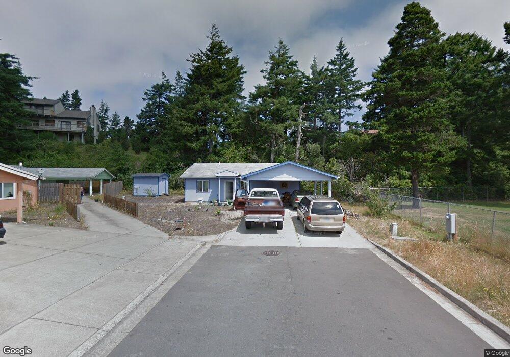
1175 Laurel Ct Florence, OR 97439
Estimated Value: $282,000 - $376,000
2
Beds
2
Baths
1,073
Sq Ft
$313/Sq Ft
Est. Value
About This Home
This home is located at 1175 Laurel Ct, Florence, OR 97439 and is currently estimated at $335,808, approximately $312 per square foot. 1175 Laurel Ct is a home located in Lane County with nearby schools including Siuslaw Elementary School, Siuslaw Middle School, and Siuslaw High School.
Ownership History
Date
Name
Owned For
Owner Type
Purchase Details
Closed on
Mar 14, 2013
Sold by
Macarthur Janie H
Bought by
Smith Craig H and Smith Rita Monasterio
Current Estimated Value
Purchase Details
Closed on
Nov 29, 2006
Sold by
Florence Habitat For Humanity Inc
Bought by
Gentry Jeremy L and Gentry Charity Ann
Home Financials for this Owner
Home Financials are based on the most recent Mortgage that was taken out on this home.
Original Mortgage
$103,200
Interest Rate
6.37%
Mortgage Type
Seller Take Back
Create a Home Valuation Report for This Property
The Home Valuation Report is an in-depth analysis detailing your home's value as well as a comparison with similar homes in the area
Home Values in the Area
Average Home Value in this Area
Purchase History
| Date | Buyer | Sale Price | Title Company |
|---|---|---|---|
| Smith Craig H | $85,000 | Multiple | |
| Gentry Jeremy L | $193,800 | First American Title |
Source: Public Records
Mortgage History
| Date | Status | Borrower | Loan Amount |
|---|---|---|---|
| Previous Owner | Gentry Jeremy L | $103,200 |
Source: Public Records
Tax History
| Year | Tax Paid | Tax Assessment Tax Assessment Total Assessment is a certain percentage of the fair market value that is determined by local assessors to be the total taxable value of land and additions on the property. | Land | Improvement |
|---|---|---|---|---|
| 2025 | $2,507 | $183,770 | -- | -- |
| 2024 | $2,435 | $178,418 | -- | -- |
| 2023 | $2,435 | $173,222 | $0 | $0 |
| 2022 | $2,272 | $168,177 | $0 | $0 |
| 2021 | $2,225 | $163,279 | $0 | $0 |
| 2020 | $2,166 | $158,524 | $0 | $0 |
| 2019 | $2,086 | $153,907 | $0 | $0 |
| 2018 | $2,090 | $145,073 | $0 | $0 |
| 2017 | $2,015 | $145,073 | $0 | $0 |
| 2016 | $1,937 | $140,848 | $0 | $0 |
| 2015 | $1,871 | $136,746 | $0 | $0 |
| 2014 | $1,867 | $133,509 | $0 | $0 |
Source: Public Records
Map
Nearby Homes
- 1265 Laurel St
- 1260 10th St Unit 5
- 1150 Hemlock St Unit C11
- 1150 Hemlock St Unit E17
- 1150 Hemlock St Unit D14
- 2 Park Village Dr
- 1036 9th St
- 1495 8th St
- 1335 7th St
- 1640 17th St
- 2040 11th St
- 1695947 4th St
- 0 Unit 749399969
- 777 Rhododendron Dr
- 0 Tamarack St
- 2184 13th St
- 2155 9th St
- 1184 2nd St
- 1600 Rhododendron Dr Unit 285
- 1600 Rhododendron Dr Unit 200
- 1155 Laurel Ct
- 1165 Laurel Ct
- 1135 Laurel Ct
- 1115 Laurel Ct
- 1185 Laurel St
- 1185 Laurel Ct
- 1230 Laurel St
- 1231 Laurel St
- 1320 Mulberry Ln
- 1145 Maple St
- 1374 12th St
- 1330 Mulberry Ln
- 1220 Kingwood St
- 1255 Laurel St
- 1230 Kingwood St
- 1280 Laurel St
- 1350 Mulberry Ln
- 1335 Mulberry Ln
- 1260 Kingwood St
- 1304 Laurel St
Your Personal Tour Guide
Ask me questions while you tour the home.