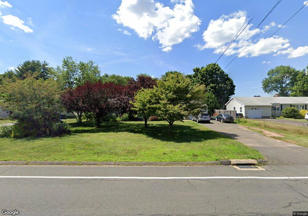
1175 Maple St Rocky Hill, CT 06067
Estimated Value: $435,000 - $473,000
3
Beds
2
Baths
1,548
Sq Ft
$297/Sq Ft
Est. Value
About This Home
This home is located at 1175 Maple St, Rocky Hill, CT 06067 and is currently estimated at $459,732, approximately $296 per square foot. 1175 Maple St is a home located in Hartford County with nearby schools including Albert D. Griswold Middle School, Rocky Hill High School, and Corpus Christi School.
Ownership History
Date
Name
Owned For
Owner Type
Purchase Details
Closed on
Oct 5, 2020
Sold by
Demanuele Nicholas F
Bought by
Demanuele Nicholas F and Demanuele Kristin
Current Estimated Value
Home Financials for this Owner
Home Financials are based on the most recent Mortgage that was taken out on this home.
Original Mortgage
$114,000
Outstanding Balance
$81,352
Interest Rate
2.9%
Mortgage Type
Balloon
Estimated Equity
$378,380
Purchase Details
Closed on
Jul 3, 2002
Sold by
Reese Dale F and Reese Alisa S
Bought by
Demanuelle N
Home Financials for this Owner
Home Financials are based on the most recent Mortgage that was taken out on this home.
Original Mortgage
$160,000
Interest Rate
6.82%
Purchase Details
Closed on
Oct 27, 1995
Sold by
Cebula Josephine
Bought by
Reese Dale F and Reese Alisa S
Create a Home Valuation Report for This Property
The Home Valuation Report is an in-depth analysis detailing your home's value as well as a comparison with similar homes in the area
Home Values in the Area
Average Home Value in this Area
Purchase History
| Date | Buyer | Sale Price | Title Company |
|---|---|---|---|
| Demanuele Nicholas F | -- | None Available | |
| Demanuele Nicholas F | -- | None Available | |
| Demanuelle N | $200,000 | -- | |
| Demanuelle N | $200,000 | -- | |
| Reese Dale F | $121,250 | -- | |
| Reese Dale F | $121,250 | -- |
Source: Public Records
Mortgage History
| Date | Status | Borrower | Loan Amount |
|---|---|---|---|
| Open | Demanuele Nicholas F | $114,000 | |
| Closed | Demanuele Nicholas F | $114,000 | |
| Previous Owner | Reese Dale F | $148,000 | |
| Previous Owner | Reese Dale F | $160,000 |
Source: Public Records
Tax History Compared to Growth
Tax History
| Year | Tax Paid | Tax Assessment Tax Assessment Total Assessment is a certain percentage of the fair market value that is determined by local assessors to be the total taxable value of land and additions on the property. | Land | Improvement |
|---|---|---|---|---|
| 2025 | $7,830 | $258,930 | $66,780 | $192,150 |
| 2024 | $7,553 | $258,930 | $66,780 | $192,150 |
| 2023 | $6,834 | $190,260 | $65,940 | $124,320 |
| 2022 | $6,568 | $190,260 | $65,940 | $124,320 |
| 2021 | $6,488 | $190,260 | $65,940 | $124,320 |
| 2020 | $6,393 | $190,260 | $65,940 | $124,320 |
| 2019 | $6,183 | $190,260 | $65,940 | $124,320 |
| 2018 | $5,670 | $175,000 | $59,290 | $115,710 |
| 2017 | $5,530 | $175,000 | $59,290 | $115,710 |
| 2016 | $5,425 | $175,000 | $59,290 | $115,710 |
| 2015 | $5,198 | $175,000 | $59,290 | $115,710 |
| 2014 | $5,198 | $175,000 | $59,290 | $115,710 |
Source: Public Records
Map
Nearby Homes
- 15 Hang Dog Ln
- 887 Cloverdale Cir
- 285 Hang Dog Ln
- 180 Hayes Rd
- 268 Fox Hill Rd
- 89 Gilbert Ave
- 370 Hayes Rd
- 211 Fairlane Dr
- 0 Old Post Rd
- 165 Falcon Ridge Rd
- 32 Wright Rd
- 135 Old Common Rd
- 34 Clayton Dr
- 37 Deming Rd
- 431 Elm St
- 127 2 Rod Hwy
- 18 Stone Hill Dr
- 19 Jacob Dr
- 409 Carlton Ln Unit 409
- 88 Highland St
- 1167 Maple St
- 1183 Maple St
- 1166 Maple St
- 1176 Maple St
- 1191 Maple St
- 1156 Maple St
- 1157 Maple St
- 1186 Maple St
- 2 Cumberland Place
- 1146 Maple St
- 1195 Maple St
- 48 Westerly Terrace
- 34 Westerly Terrace
- 1196 Maple St
- 106 Knollwood Rd
- 62 Westerly Terrace
- 12 Cumberland Place
- 92 Knollwood Rd
- 22 Westerly Terrace
- 1 Cumberland Place