Estimated Value: $459,000 - $644,739
3
Beds
2
Baths
2,085
Sq Ft
$268/Sq Ft
Est. Value
About This Home
This home is located at 1175 Sand Point Rd, Mead, OK 73449 and is currently estimated at $558,685, approximately $267 per square foot. 1175 Sand Point Rd is a home with nearby schools including Silo Early Childhood Center, Silo Elementary School, and Silo Middle School.
Ownership History
Date
Name
Owned For
Owner Type
Purchase Details
Closed on
Aug 31, 2021
Sold by
Roberts Dustin and Roberts Lindsay
Bought by
Colter Richard J and Williamson Lolita Ruth
Current Estimated Value
Home Financials for this Owner
Home Financials are based on the most recent Mortgage that was taken out on this home.
Original Mortgage
$376,000
Outstanding Balance
$341,621
Interest Rate
2.7%
Mortgage Type
New Conventional
Estimated Equity
$217,064
Purchase Details
Closed on
Jul 11, 2016
Sold by
Manery Ricky and Manery Mary Ann
Bought by
Roberts Dustin and Roberts Lindsay
Create a Home Valuation Report for This Property
The Home Valuation Report is an in-depth analysis detailing your home's value as well as a comparison with similar homes in the area
Home Values in the Area
Average Home Value in this Area
Purchase History
| Date | Buyer | Sale Price | Title Company |
|---|---|---|---|
| Colter Richard J | $490,000 | None Available | |
| Roberts Dustin | $50,000 | None Available |
Source: Public Records
Mortgage History
| Date | Status | Borrower | Loan Amount |
|---|---|---|---|
| Open | Colter Richard J | $376,000 |
Source: Public Records
Tax History Compared to Growth
Tax History
| Year | Tax Paid | Tax Assessment Tax Assessment Total Assessment is a certain percentage of the fair market value that is determined by local assessors to be the total taxable value of land and additions on the property. | Land | Improvement |
|---|---|---|---|---|
| 2024 | $4,610 | $55,477 | $18,700 | $36,777 |
| 2023 | $4,610 | $53,861 | $18,700 | $35,161 |
| 2022 | $4,597 | $54,270 | $18,700 | $35,570 |
| 2021 | $2,549 | $30,859 | $5,500 | $25,359 |
| 2020 | $2,562 | $30,859 | $5,500 | $25,359 |
| 2019 | $487 | $5,775 | $5,500 | $275 |
| 2018 | $466 | $5,500 | $5,500 | $0 |
| 2017 | $405 | $5,500 | $5,500 | $0 |
Source: Public Records
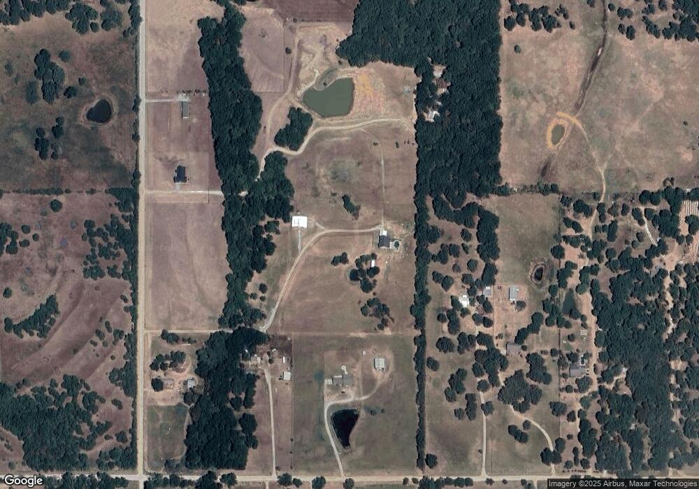
Map
Nearby Homes
- 198 Texoma Dr
- 1409 Streetman Rd
- 653 Max Rd
- 320 Sunset Way
- 280 Sunset Way
- 300 Sunset Way
- 342 Sunset Way
- 364 Sunset Way
- 426 White Dr
- 0 N Sand Point Rd Unit 2527655
- 0 N Sand Point Rd
- 45 W Sophia Loop
- 0 E Sophia Loop Unit 20251214
- 200 Sunset Cove
- 429 N Sand Point Rd
- 0 S Texoma Rd
- 419 Mead Cemetery Rd
- 180 Sunset Cove
- 802 W Sand Point Rd
- 00001 N Ranchette Rd
- 1346 Sand Point Rd
- 1119 Sand Point Rd
- 1112 Sand Point Rd
- 1751 S Ranchette Rd
- 1301 Sand Point Rd
- 1365 Sand Point Rd
- 223 W Sand Point Rd
- 1397 Sand Point Rd
- 2077 S Ranchette Rd
- 1336 Sand Point Rd
- 1714 Sand Point Rd
- 807 Sand Point Rd
- 546 Sand Point Rd
- 870 Sand Point Rd
- 750 Sand Point Rd
- 2259 S Ranchette Rd
- 1545 S Ranchette Rd
- 0 Sand Point Rd
- 0000 Sand Point Rd
- 35 Circle H Rd