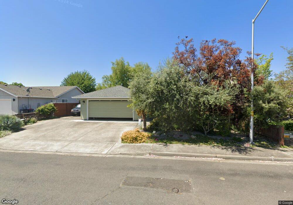
1175 Wedgewood Dr Central Point, OR 97502
Estimated Value: $397,270 - $411,000
3
Beds
2
Baths
1,529
Sq Ft
$265/Sq Ft
Est. Value
About This Home
This home is located at 1175 Wedgewood Dr, Central Point, OR 97502 and is currently estimated at $405,068, approximately $264 per square foot. 1175 Wedgewood Dr is a home located in Jackson County with nearby schools including Central Point Elementary School, Scenic Middle School, and Crater High School.
Ownership History
Date
Name
Owned For
Owner Type
Purchase Details
Closed on
Jun 23, 1999
Sold by
Governor James C
Bought by
Restad Timothy B and Restad Penny L
Current Estimated Value
Home Financials for this Owner
Home Financials are based on the most recent Mortgage that was taken out on this home.
Original Mortgage
$107,850
Outstanding Balance
$26,772
Interest Rate
7.05%
Estimated Equity
$378,296
Create a Home Valuation Report for This Property
The Home Valuation Report is an in-depth analysis detailing your home's value as well as a comparison with similar homes in the area
Purchase History
| Date | Buyer | Sale Price | Title Company |
|---|---|---|---|
| Restad Timothy B | $126,900 | Amerititle |
Source: Public Records
Mortgage History
| Date | Status | Borrower | Loan Amount |
|---|---|---|---|
| Open | Restad Timothy B | $107,850 |
Source: Public Records
Tax History
| Year | Tax Paid | Tax Assessment Tax Assessment Total Assessment is a certain percentage of the fair market value that is determined by local assessors to be the total taxable value of land and additions on the property. | Land | Improvement |
|---|---|---|---|---|
| 2026 | $3,504 | $211,750 | -- | -- |
| 2025 | $3,418 | $205,590 | $80,370 | $125,220 |
| 2024 | $3,418 | $199,610 | $78,030 | $121,580 |
| 2023 | $3,308 | $193,800 | $75,760 | $118,040 |
| 2022 | $3,231 | $193,800 | $75,760 | $118,040 |
| 2021 | $3,139 | $188,160 | $73,550 | $114,610 |
| 2020 | $3,047 | $182,680 | $71,410 | $111,270 |
| 2019 | $2,972 | $172,200 | $67,310 | $104,890 |
| 2018 | $2,881 | $167,190 | $65,350 | $101,840 |
| 2017 | $2,809 | $167,190 | $65,350 | $101,840 |
| 2016 | $2,727 | $157,610 | $61,590 | $96,020 |
| 2015 | $2,613 | $157,610 | $61,590 | $96,020 |
| 2014 | $2,547 | $148,570 | $58,050 | $90,520 |
Source: Public Records
Map
Nearby Homes
- 1025 Fairfield Ave
- 105 Queens Gate Ct
- 107 Southgate Ct
- 1258 Joshua Ct
- 921 Pittview Ave
- 992 Glengrove Ave
- 959 Westrop Dr
- 918 Brandi Way
- 1283 Far West Ave Unit 3
- 460 Federal Way
- 851 Juanita Way
- 3358 Bursell Rd
- 3364 Bursell Rd
- 659 Herman Ave
- 736 Hemlock Ave
- 2841 Howard Ave
- 402 Emerald Cir
- 811 O'Hare Pkwy
- 2825 Howard Ave
- 2817 Howard Ave
- 1169 Wedgewood Dr
- 1181 Wedgewood Dr
- 1178 White Chapel Dr
- 1182 White Chapel Dr
- 1187 Wedgewood Dr
- 1163 Wedgewood Dr
- 1174 White Chapel Dr
- 1188 Wedgewood Dr
- 0 Wedgewood Dr
- 1186 White Chapel Dr
- 1170 White Chapel Dr
- 1111 Angela Ct
- 1193 Wedgewood Dr
- 1157 Wedgewood Dr
- 1190 White Chapel Dr
- 1113 Paisley Ct
- 1168 White Chapel Dr
- 1118 Angela Ct
- 1199 Wedgewood Dr
- 1161 Glengrove Ave
Your Personal Tour Guide
Ask me questions while you tour the home.