Estimated Value: $272,000 - $322,000
3
Beds
3
Baths
2,241
Sq Ft
$129/Sq Ft
Est. Value
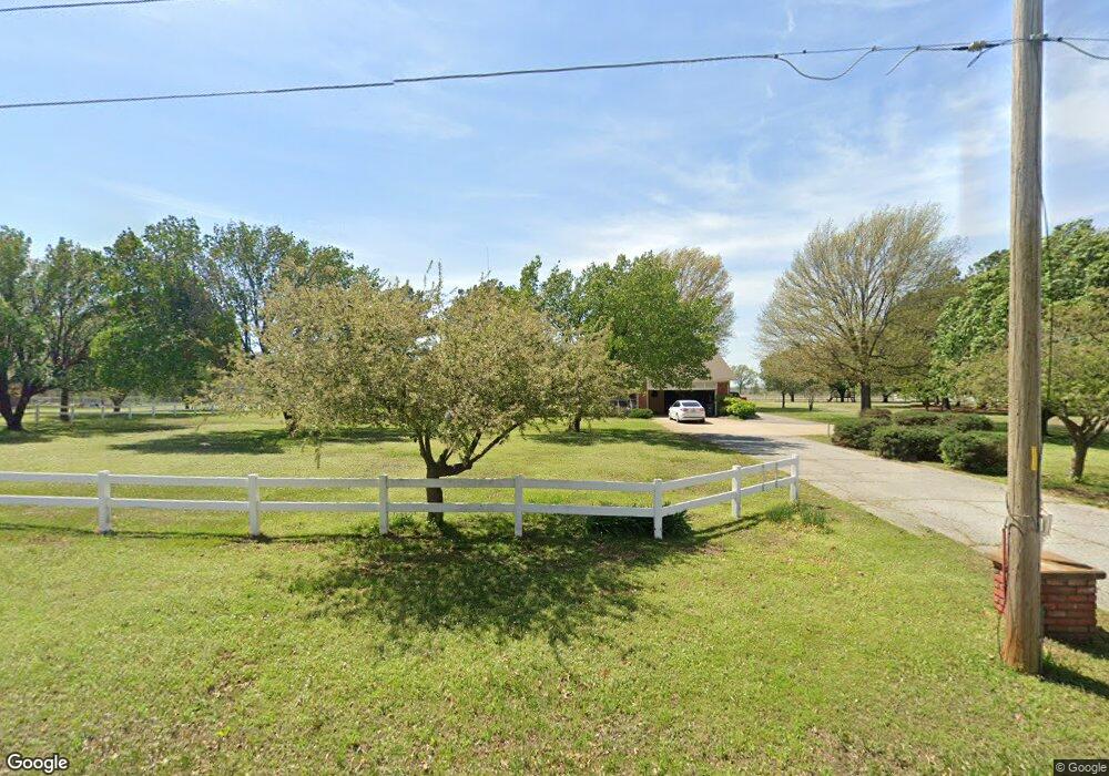
About This Home
This home is located at 11751 S 540 Rd, Miami, OK 74354 and is currently estimated at $290,116, approximately $129 per square foot. 11751 S 540 Rd is a home located in Ottawa County with nearby schools including Miami High School.
Ownership History
Date
Name
Owned For
Owner Type
Purchase Details
Closed on
Sep 19, 2022
Sold by
Myers Vickey G and Myers Joseph
Bought by
Dresia Bert Victor and Dresia Betty Anne
Current Estimated Value
Purchase Details
Closed on
May 31, 2022
Sold by
Myers Vickey G
Bought by
Myers Vickey G and Bynum Kenda
Purchase Details
Closed on
Nov 5, 2020
Sold by
Hall Jo Ellen and The Mike And Jo Ellen Hall Tru
Bought by
Martin Christopher and Martin Starla
Home Financials for this Owner
Home Financials are based on the most recent Mortgage that was taken out on this home.
Original Mortgage
$168,300
Interest Rate
2.9%
Mortgage Type
New Conventional
Purchase Details
Closed on
Jun 20, 2018
Sold by
Shamblin Alta L
Bought by
The Mike And Jo Ellen Hall Trust
Purchase Details
Closed on
Aug 8, 2000
Bought by
Shamblin Alta L Living Trust
Purchase Details
Closed on
May 4, 2000
Bought by
Shamblin George E and Shamblin Alta
Purchase Details
Closed on
Apr 1, 1992
Bought by
Mary Stephen and Mary Moss
Create a Home Valuation Report for This Property
The Home Valuation Report is an in-depth analysis detailing your home's value as well as a comparison with similar homes in the area
Home Values in the Area
Average Home Value in this Area
Purchase History
| Date | Buyer | Sale Price | Title Company |
|---|---|---|---|
| Dresia Bert Victor | -- | -- | |
| Martin Christopher | -- | -- | |
| Myers Vickey G | -- | None Listed On Document | |
| Martin Christopher | $187,000 | Apex Title Northeast Ok Llc | |
| The Mike And Jo Ellen Hall Trust | $160,000 | None Available | |
| Shamblin Alta L Living Trust | -- | -- | |
| Shamblin George E | $177,000 | -- | |
| Mary Stephen | $2,800 | -- |
Source: Public Records
Mortgage History
| Date | Status | Borrower | Loan Amount |
|---|---|---|---|
| Previous Owner | Martin Christopher | $168,300 |
Source: Public Records
Tax History Compared to Growth
Tax History
| Year | Tax Paid | Tax Assessment Tax Assessment Total Assessment is a certain percentage of the fair market value that is determined by local assessors to be the total taxable value of land and additions on the property. | Land | Improvement |
|---|---|---|---|---|
| 2024 | $1,959 | $21,318 | $1,740 | $19,578 |
| 2023 | $1,959 | $21,318 | $1,740 | $19,578 |
| 2022 | $1,878 | $21,318 | $1,740 | $19,578 |
| 2021 | $1,920 | $21,318 | $1,740 | $19,578 |
| 2020 | $1,643 | $18,241 | $1,967 | $16,274 |
| 2019 | $1,416 | $18,241 | $1,967 | $16,274 |
| 2018 | $1,567 | $18,959 | $4,128 | $14,831 |
| 2017 | $1,509 | $18,959 | $4,128 | $14,831 |
| 2016 | $1,443 | $18,959 | $1,311 | $17,648 |
| 2015 | $1,694 | $20,178 | $877 | $19,301 |
| 2014 | $1,471 | $18,959 | $1,311 | $17,648 |
Source: Public Records
Map
Nearby Homes
- Tract 3 U S 59
- 11009 S 540 Rd
- 2027 P St SW
- 0 E 130 Rd Unit 22-974
- 2110 M St SW
- 2216 M St SW
- 12900 S Highway 69
- 1133 Sunset Strip
- 1101 22nd Place SW
- 1025 22nd Ave SW
- 2325 J St SW
- 0 24th Ave SW
- TBD 24th Ave SW
- 805 23rd Ave SW
- 1425 E St SW
- 404 16th Place SW
- 0 Tract 8 Hwy 59
- 52150 E 110 Rd
- 0 Tract 2 Hwy 59
- 0 Lot 1 Hwy 59
- 11701 S 540 Rd
- 11801 S 540 Rd
- 11651 S 540 Rd
- 11700 S 540 Rd
- 11750 S 540 Rd
- 11780 S 540 Rd
- 11650 S 540 Rd
- 11840 S 540 Rd
- 11600 S 540 Rd
- 11601 S 540 Rd
- 11851 S Highway 69
- 53900 E 120 Rd
- 11901 S 540 Rd
- 11595 S 540 Rd
- 11951 S Highway 69
- 11801 S Highway 69
- 53850 E 120 Rd
- 53951 E 120 Rd
- 53750 E 120 Rd
- 54250 E 120 Rd