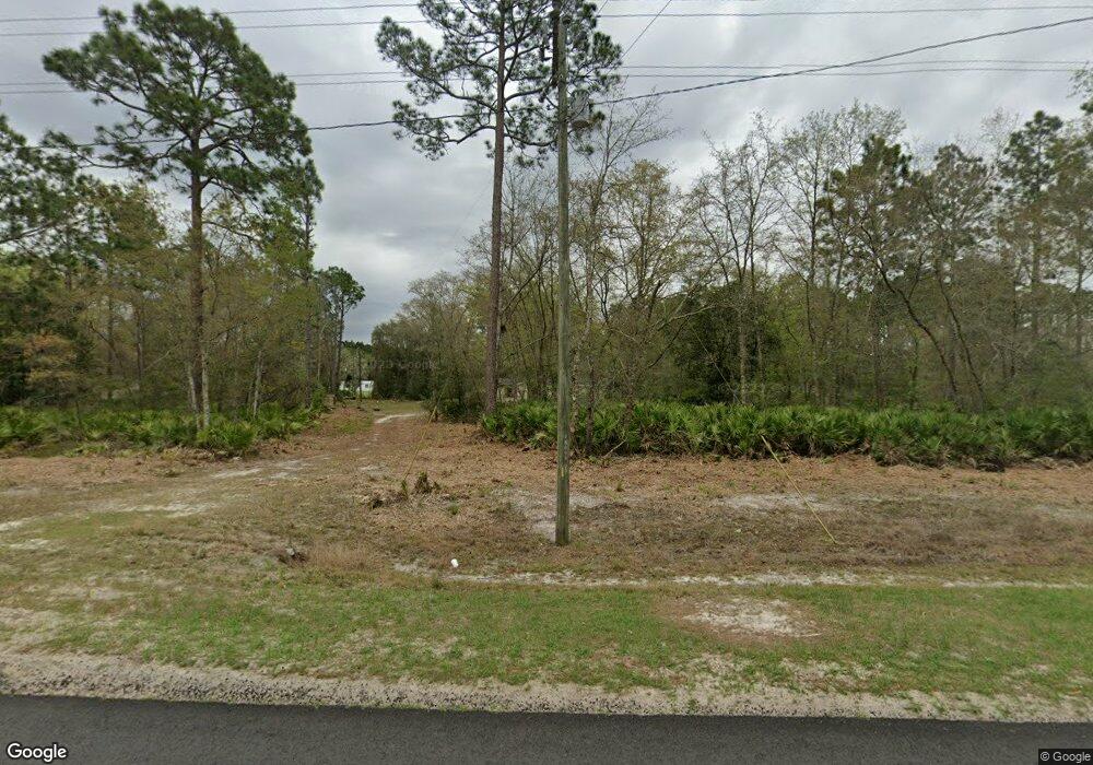
11756 Browntown Rd Hortense, GA 31543
Estimated Value: $53,955 - $206,000
--
Bed
--
Bath
1,792
Sq Ft
$75/Sq Ft
Est. Value
About This Home
This home is located at 11756 Browntown Rd, Hortense, GA 31543 and is currently estimated at $134,239, approximately $74 per square foot. 11756 Browntown Rd is a home with nearby schools including Waynesville Primary School, Atkinson Elementary School, and Brantley County Middle School.
Ownership History
Date
Name
Owned For
Owner Type
Purchase Details
Closed on
Aug 9, 2018
Sold by
Johns Land Co Inc
Bought by
Bennett Nova
Current Estimated Value
Home Financials for this Owner
Home Financials are based on the most recent Mortgage that was taken out on this home.
Original Mortgage
$10,800
Interest Rate
4.5%
Mortgage Type
New Conventional
Purchase Details
Closed on
Jul 5, 2016
Sold by
Daniel
Bought by
Johns Land Co Inc
Create a Home Valuation Report for This Property
The Home Valuation Report is an in-depth analysis detailing your home's value as well as a comparison with similar homes in the area
Home Values in the Area
Average Home Value in this Area
Purchase History
| Date | Buyer | Sale Price | Title Company |
|---|---|---|---|
| Bennett Nova | $12,000 | -- | |
| Johns Land Co Inc | $1,657 | -- |
Source: Public Records
Mortgage History
| Date | Status | Borrower | Loan Amount |
|---|---|---|---|
| Closed | Bennett Nova | $10,800 |
Source: Public Records
Tax History Compared to Growth
Tax History
| Year | Tax Paid | Tax Assessment Tax Assessment Total Assessment is a certain percentage of the fair market value that is determined by local assessors to be the total taxable value of land and additions on the property. | Land | Improvement |
|---|---|---|---|---|
| 2024 | $268 | $7,807 | $6,127 | $1,680 |
| 2023 | $170 | $4,515 | $2,835 | $1,680 |
| 2022 | $140 | $3,515 | $2,835 | $680 |
| 2021 | $142 | $3,515 | $2,835 | $680 |
| 2020 | $146 | $3,515 | $2,835 | $680 |
| 2019 | $146 | $3,515 | $2,835 | $680 |
| 2018 | $197 | $5,834 | $5,154 | $680 |
| 2017 | $197 | $5,834 | $5,154 | $680 |
| 2016 | $227 | $5,834 | $5,154 | $680 |
| 2015 | -- | $5,834 | $5,154 | $680 |
Source: Public Records
Map
Nearby Homes
- 288 Rattler Run
- 0 Rattler Run
- 277 Carl Burney Rd
- 43 Dutch Rd
- 235 Gibson Cir
- 647 Gibson Cir
- 00 Hwy #32 Hwy #99 Tract 1
- 00 Hwy #32 Hwy #99 Tract 2
- 2101 Albert Gibson Rd
- 0 Post Rd Unit 1648928
- 3069 Mineral Springs Rd
- 7535 Browntown Rd
- 6406 Mount Pleasant Rd
- 11211 Georgia 110
- 0 Heritage Cir Unit 1655955
- 0 Heritage Cir Unit 1656067
- 0 Heritage Cir Unit 1655952
- 0 Heritage Cir Unit 1656069
- 0 Heritage Cir Unit 1656065
- 45 Heritage Cir
- 69 Friendship Dr
- 11725 Browntown Rd
- 27 Ponderosa Dr
- 11785 Browntown Rd
- 122 Friendship Dr
- 44 Friendship Dr
- 16 Friendship Dr
- 137 Ponderosa Dr
- 11870 Browntown Rd
- 000 Friendship Dr
- 164 Friendship Dr
- 11639 Browntown Rd
- 11609 Browntown Rd
- 12060 Browntown Rd
- 11847 Browntown Rd
- 234 Friendship Dr
- 173 Scattered Pines Rd
- 1179 Baker Hill Rd
- 12086 Browntown Rd
- 746 Scattered Pines Rd