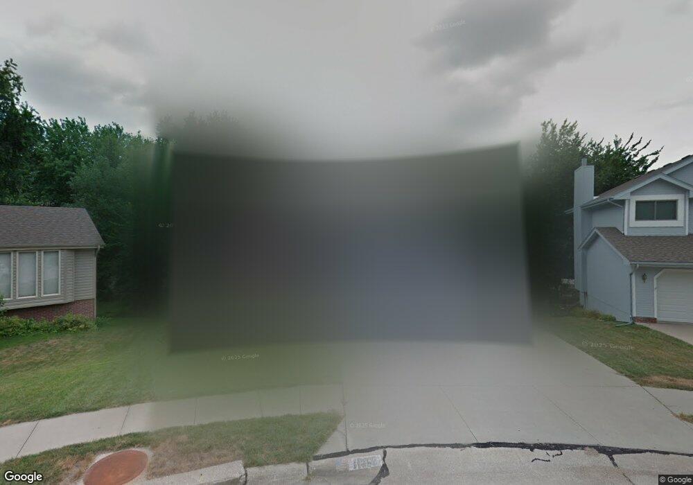
11758 Mccarty Cir Bellevue, NE 68123
Estimated Value: $373,363 - $449,000
4
Beds
5
Baths
2,198
Sq Ft
$184/Sq Ft
Est. Value
About This Home
This home is located at 11758 Mccarty Cir, Bellevue, NE 68123 and is currently estimated at $404,341, approximately $183 per square foot. 11758 Mccarty Cir is a home located in Sarpy County with nearby schools including Anderson Grove Elementary School, Papillion Middle School, and Papillion La Vista South High School.
Ownership History
Date
Name
Owned For
Owner Type
Purchase Details
Closed on
Aug 19, 1999
Sold by
Hoke William A
Bought by
Simon Mark S and Simon Elizabeth G
Current Estimated Value
Home Financials for this Owner
Home Financials are based on the most recent Mortgage that was taken out on this home.
Original Mortgage
$196,350
Outstanding Balance
$56,116
Interest Rate
7.58%
Estimated Equity
$348,225
Purchase Details
Closed on
May 18, 1998
Sold by
Rubin Investments Inc
Bought by
Hoke William A
Home Financials for this Owner
Home Financials are based on the most recent Mortgage that was taken out on this home.
Original Mortgage
$70,000
Interest Rate
7.2%
Create a Home Valuation Report for This Property
The Home Valuation Report is an in-depth analysis detailing your home's value as well as a comparison with similar homes in the area
Home Values in the Area
Average Home Value in this Area
Purchase History
| Date | Buyer | Sale Price | Title Company |
|---|---|---|---|
| Simon Mark S | $193,000 | -- | |
| Hoke William A | $180,000 | -- |
Source: Public Records
Mortgage History
| Date | Status | Borrower | Loan Amount |
|---|---|---|---|
| Open | Simon Mark S | $196,350 | |
| Closed | Hoke William A | $70,000 |
Source: Public Records
Tax History
| Year | Tax Paid | Tax Assessment Tax Assessment Total Assessment is a certain percentage of the fair market value that is determined by local assessors to be the total taxable value of land and additions on the property. | Land | Improvement |
|---|---|---|---|---|
| 2025 | $5,869 | $355,594 | $50,000 | $305,594 |
| 2024 | $6,886 | $341,047 | $45,000 | $296,047 |
| 2023 | $6,886 | $329,227 | $40,000 | $289,227 |
| 2022 | $6,597 | $297,585 | $40,000 | $257,585 |
| 2021 | $6,481 | $288,180 | $34,000 | $254,180 |
| 2020 | $6,269 | $277,216 | $34,000 | $243,216 |
| 2019 | $5,903 | $261,227 | $34,000 | $227,227 |
| 2018 | $5,832 | $254,458 | $28,000 | $226,458 |
| 2017 | $5,551 | $242,249 | $28,000 | $214,249 |
| 2016 | $5,342 | $233,479 | $28,000 | $205,479 |
| 2015 | $5,182 | $227,072 | $26,000 | $201,072 |
| 2014 | $5,173 | $225,245 | $26,000 | $199,245 |
| 2012 | -- | $224,148 | $26,000 | $198,148 |
Source: Public Records
Map
Nearby Homes
- 11814 Quail Dr
- 12015 S 44th St
- 12013 Daniell Rd
- 12019 S 44th St
- 11723 S 39th St
- 4724 Coffey St
- 12033 Daniell Rd
- 12037 Daniell Rd
- 12039 S 45th Ave
- 4802 Lakeside Cir
- 12103 S 44th St
- 12110 Quail Dr
- 12038 S 45th Ave
- 12105 Daniell Rd
- 12109 Daniell Rd
- 4302 Chennault St
- 4404 Chennault St
- 12203 Daniell Rd
- 11406 S 43rd St
- 12408 Quail Dr
- 11754 Mccarty Cir
- 11762 Mccarty Cir
- 4316 Hike Cir
- 11765 Amos Gates Dr
- 4312 Hike Cir
- 11761 Mccarty Cir
- 11776 Mccarty Cir
- 11776 Mccartney Cir
- 4308 Hike Cir
- 11757 Mccarty Cir
- 11753 Mccarty Cir
- 4302 Mccarty Dr
- 11769 Amos Gates Dr
- 4320 Hike Cir
- 4212 Mccarty Dr
- 4320 Hike Cir
- 4304 Hike Cir
- 4208 Mccarty Dr
- 11773 Amos Gates Dr
- 4324 Hike Cir
Your Personal Tour Guide
Ask me questions while you tour the home.