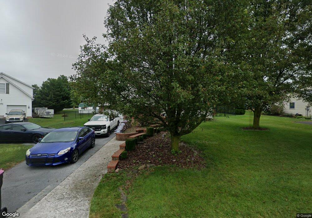
11764 Waxwing Dr Greencastle, PA 17225
Estimated Value: $157,311 - $265,000
3
Beds
2
Baths
1,294
Sq Ft
$181/Sq Ft
Est. Value
About This Home
This home is located at 11764 Waxwing Dr, Greencastle, PA 17225 and is currently estimated at $234,328, approximately $181 per square foot. 11764 Waxwing Dr is a home located in Franklin County with nearby schools including Greencastle-Antrim Primary School, Greencastle-Antrim Elementary School, and Greencastle-Antrim Middle School.
Ownership History
Date
Name
Owned For
Owner Type
Purchase Details
Closed on
Jan 11, 2011
Sold by
Fannie Mae
Bought by
Hanley William L and Butts Cecilia E
Current Estimated Value
Home Financials for this Owner
Home Financials are based on the most recent Mortgage that was taken out on this home.
Original Mortgage
$144,150
Outstanding Balance
$98,511
Interest Rate
4.83%
Mortgage Type
FHA
Estimated Equity
$135,817
Purchase Details
Closed on
Sep 30, 2010
Sold by
Repp Tina
Bought by
Federal National Mortgage Association
Purchase Details
Closed on
Jul 20, 2007
Sold by
Repp Tina and Carbaugh Tina M
Bought by
Repp Tina
Home Financials for this Owner
Home Financials are based on the most recent Mortgage that was taken out on this home.
Original Mortgage
$128,000
Interest Rate
6.51%
Mortgage Type
New Conventional
Create a Home Valuation Report for This Property
The Home Valuation Report is an in-depth analysis detailing your home's value as well as a comparison with similar homes in the area
Home Values in the Area
Average Home Value in this Area
Purchase History
| Date | Buyer | Sale Price | Title Company |
|---|---|---|---|
| Hanley William L | $147,900 | None Available | |
| Federal National Mortgage Association | $780 | None Available | |
| Repp Tina | -- | None Available |
Source: Public Records
Mortgage History
| Date | Status | Borrower | Loan Amount |
|---|---|---|---|
| Open | Hanley William L | $144,150 | |
| Previous Owner | Repp Tina | $128,000 |
Source: Public Records
Tax History Compared to Growth
Tax History
| Year | Tax Paid | Tax Assessment Tax Assessment Total Assessment is a certain percentage of the fair market value that is determined by local assessors to be the total taxable value of land and additions on the property. | Land | Improvement |
|---|---|---|---|---|
| 2025 | $2,802 | $16,750 | $2,500 | $14,250 |
| 2024 | $2,542 | $16,750 | $2,500 | $14,250 |
| 2023 | $2,512 | $16,750 | $2,500 | $14,250 |
| 2022 | $2,512 | $16,750 | $2,500 | $14,250 |
| 2021 | $2,463 | $16,750 | $2,500 | $14,250 |
| 2020 | $2,399 | $16,750 | $2,500 | $14,250 |
| 2019 | $2,345 | $16,750 | $2,500 | $14,250 |
| 2018 | $2,320 | $16,750 | $2,500 | $14,250 |
| 2017 | $2,261 | $16,750 | $2,500 | $14,250 |
| 2016 | $480 | $16,750 | $2,500 | $14,250 |
| 2015 | $447 | $16,750 | $2,500 | $14,250 |
| 2014 | $447 | $16,750 | $2,500 | $14,250 |
Source: Public Records
Map
Nearby Homes
- 823 Buchanan Trail E
- 431 Leitersburg St
- 674 Lohman Ave
- 775 Lohman Ave
- 34.77 Acres Red Oak Estate S
- 271 E Baltimore St
- 602 Brookview Dr
- 480 S Carlisle St
- 0 Molly Pitcher Hwy Unit PAFL178468
- 0 Molly Pitcher Hwy Unit PAFL2030380
- 0 Molly Pitcher Hwy Unit PAFL178444
- 231 N Allison St Unit 1
- 45 W Dahlgren St
- 101 N Carlisle St
- 148 N Carlisle St
- 560 Meadowview Cir
- 11498 Nicole Dr
- 1631 Buchanan Trail E
- 763 Joy Dr
- 375 Carolle St
- 11772 Waxwing Dr
- 11756 Waxwing Dr
- 459 Tall Cedar Ln
- 447 Tall Cedar Ln
- 11784 Waxwing Dr
- 509 Tall Cedar Ln
- 11769 Waxwing Dr
- 11775 Waxwing Dr
- 490 Tall Cedar Ln
- 492 Tall Cedar Ln
- 433 Tall Cedar Ln
- 502 Tall Cedar Ln
- 11792 Waxwing Dr
- 11787 Waxwing Dr
- 464 Tall Cedar Ln
- 476 Tall Cedar Ln
- 452 Tall Cedar Ln
- 504 Tall Cedar Ln
- 521 Tall Cedar Ln
- 11795 Waxwing Dr