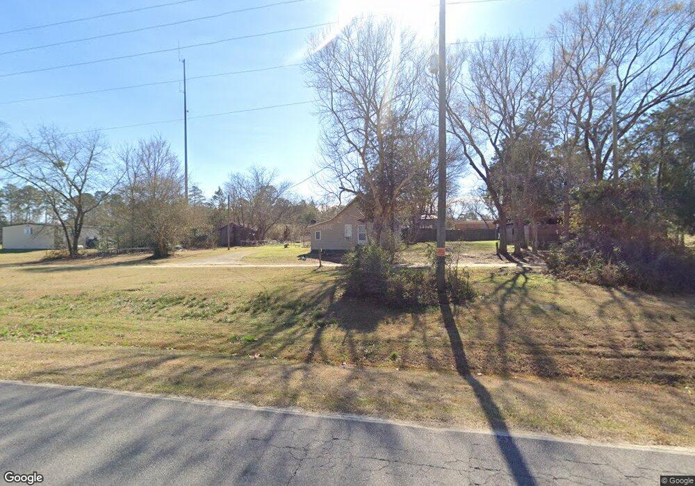
1177 Maple St East Dublin, GA 31027
Estimated Value: $59,415 - $130,000
--
Bed
1
Bath
1,408
Sq Ft
$73/Sq Ft
Est. Value
About This Home
This home is located at 1177 Maple St, East Dublin, GA 31027 and is currently estimated at $102,354, approximately $72 per square foot. 1177 Maple St is a home located in Laurens County with nearby schools including Northwest Laurens Elementary School, Southwest Laurens Elementary School, and East Laurens Primary School.
Ownership History
Date
Name
Owned For
Owner Type
Purchase Details
Closed on
Apr 11, 2024
Sold by
Lawson Gloria R
Bought by
Kapp Brandy Alene
Current Estimated Value
Purchase Details
Closed on
Dec 12, 2001
Sold by
Locklear Roger D and Locklear G
Bought by
Locklear Gloria R
Purchase Details
Closed on
Jun 2, 1999
Sold by
Frost Gary L
Bought by
Locklear Roger D and Locklear G
Purchase Details
Closed on
Sep 9, 1909
Bought by
Frost Gary L
Create a Home Valuation Report for This Property
The Home Valuation Report is an in-depth analysis detailing your home's value as well as a comparison with similar homes in the area
Home Values in the Area
Average Home Value in this Area
Purchase History
| Date | Buyer | Sale Price | Title Company |
|---|---|---|---|
| Kapp Brandy Alene | -- | -- | |
| Locklear Gloria R | -- | -- | |
| Locklear Roger D | -- | -- | |
| Frost Gary L | -- | -- |
Source: Public Records
Tax History Compared to Growth
Tax History
| Year | Tax Paid | Tax Assessment Tax Assessment Total Assessment is a certain percentage of the fair market value that is determined by local assessors to be the total taxable value of land and additions on the property. | Land | Improvement |
|---|---|---|---|---|
| 2024 | $262 | $14,453 | $911 | $13,542 |
| 2023 | $251 | $13,815 | $911 | $12,904 |
| 2022 | $300 | $13,789 | $885 | $12,904 |
| 2021 | $281 | $12,587 | $600 | $11,987 |
| 2020 | $281 | $12,587 | $600 | $11,987 |
| 2019 | $281 | $12,587 | $600 | $11,987 |
| 2018 | $282 | $12,587 | $600 | $11,987 |
| 2017 | $281 | $12,587 | $600 | $11,987 |
| 2016 | $282 | $12,587 | $600 | $11,987 |
| 2015 | $282 | $12,587 | $600 | $11,987 |
| 2014 | $323 | $14,188 | $1,000 | $13,188 |
Source: Public Records
Map
Nearby Homes
- 3.5 ACRES Brewton Lovett Rd
- 0 Hwy 319 Unit 24360437
- 132 Shaddock Creek Cir
- 174 Ernest Stinson Rd
- 0 Snellbridge Rd Unit 30130
- 00 Snellbridge Rd
- 0 Snellbridge Rd Unit 10569491
- 0 Snellbridge Rd Unit 10569490
- 0 Hubert Fulford Rd Unit 22123639
- 1354 Lakeway Rd
- 104 Long Pines Cir
- 445 Saint Charles Dr
- 1739 Snellbridge Rd
- 0 Old Carter Rd
- 0 Ralph Keen Rd Unit 21905127
- 437 Mccord Rd
- 0 Hillcrest Dr Unit 22383
- 1328 Buckeye Rd
- 103 Forest Ave
- 1 Stone Church Rd
- 393 Emory Perry Rd
- 389 Emory Perry Rd
- 388 Emory Perry Rd
- 0 Peachtree Rd Unit 7331059
- S S Peachtree Rd
- 1102 Cleve St
- 1095 Cleve St
- 384 Emory Perry Rd
- 377 Emory Perry Rd
- 1157 Brewton Lovett Rd
- 614 N Peachtree Rd
- 503 S Peachtree Rd
- 376 Emory Perry Rd
- 498 S Peachtree Rd
- 1240 Brewton Lovett Rd
- 1240 Brewton Lovett Rd
- 499 S Peachtree Rd
- 615 N Peachtree Rd
- 369 Emory Perry Rd
- 369 Emory Perry Rd