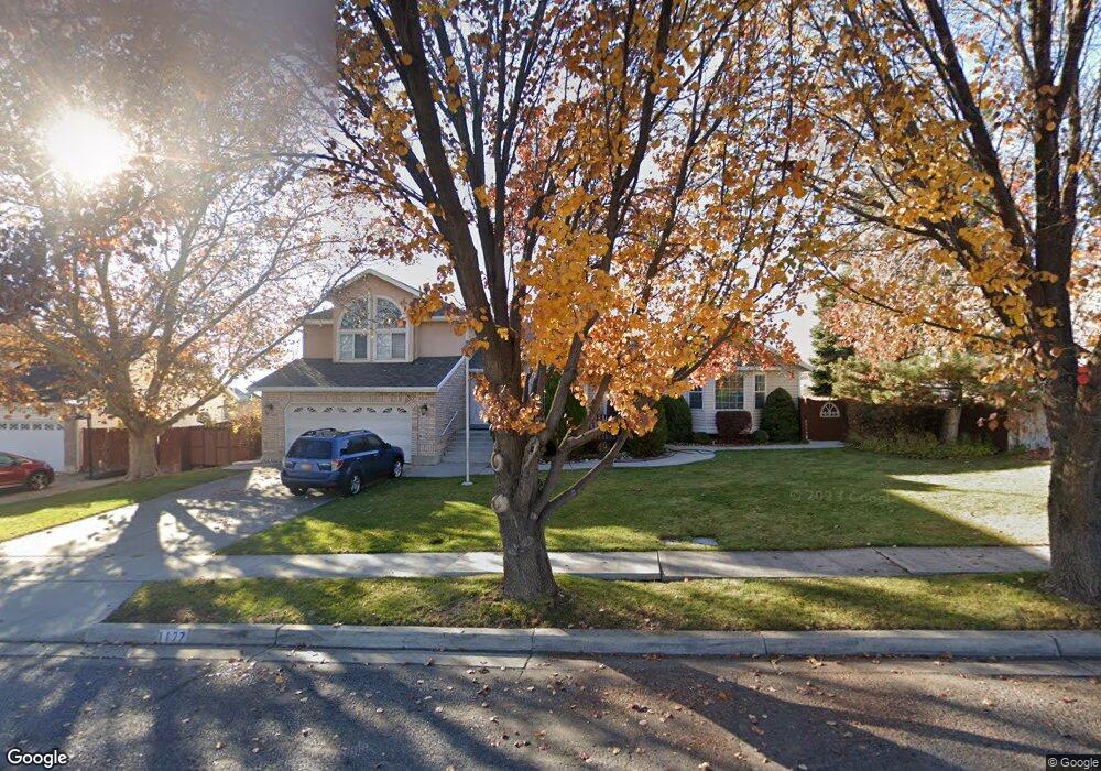
1177 N 320 W American Fork, UT 84003
Estimated Value: $623,031 - $732,000
4
Beds
4
Baths
2,367
Sq Ft
$285/Sq Ft
Est. Value
About This Home
This home is located at 1177 N 320 W, American Fork, UT 84003 and is currently estimated at $674,008, approximately $284 per square foot. 1177 N 320 W is a home located in Utah County with nearby schools including Legacy Elementary School, American Fork Junior High School, and American Fork High School.
Ownership History
Date
Name
Owned For
Owner Type
Purchase Details
Closed on
Dec 7, 2012
Sold by
Bramwell Carol C
Bought by
Perkins Ty L and Perkins Heather D
Current Estimated Value
Home Financials for this Owner
Home Financials are based on the most recent Mortgage that was taken out on this home.
Original Mortgage
$201,600
Outstanding Balance
$139,610
Interest Rate
3.36%
Mortgage Type
New Conventional
Estimated Equity
$534,398
Purchase Details
Closed on
Mar 16, 2012
Sold by
Bramwell Carol C
Bought by
Bramwell Carol C
Create a Home Valuation Report for This Property
The Home Valuation Report is an in-depth analysis detailing your home's value as well as a comparison with similar homes in the area
Home Values in the Area
Average Home Value in this Area
Purchase History
| Date | Buyer | Sale Price | Title Company |
|---|---|---|---|
| Perkins Ty L | -- | None Available | |
| Bramwell Carol C | -- | None Available |
Source: Public Records
Mortgage History
| Date | Status | Borrower | Loan Amount |
|---|---|---|---|
| Open | Perkins Ty L | $201,600 |
Source: Public Records
Tax History Compared to Growth
Tax History
| Year | Tax Paid | Tax Assessment Tax Assessment Total Assessment is a certain percentage of the fair market value that is determined by local assessors to be the total taxable value of land and additions on the property. | Land | Improvement |
|---|---|---|---|---|
| 2025 | $2,688 | $328,900 | $223,800 | $374,200 |
| 2024 | $2,688 | $298,650 | $0 | $0 |
| 2023 | $2,544 | $299,640 | $0 | $0 |
| 2022 | $2,742 | $318,725 | $0 | $0 |
| 2021 | $2,353 | $427,300 | $160,500 | $266,800 |
| 2020 | $2,204 | $388,100 | $143,300 | $244,800 |
| 2019 | $2,013 | $366,600 | $132,600 | $234,000 |
| 2018 | $1,970 | $343,100 | $125,400 | $217,700 |
| 2017 | $1,914 | $179,905 | $0 | $0 |
| 2016 | $1,835 | $160,270 | $0 | $0 |
| 2015 | $1,885 | $156,200 | $0 | $0 |
| 2014 | $1,805 | $147,565 | $0 | $0 |
Source: Public Records
Map
Nearby Homes
- 344 W 1080 N
- 425 W 1120 N
- 356 W 1300 N
- 471 W 1040 N
- 287 W 1360 N
- 179 W 1290 N
- 987 N 410 W
- 984 N 300 W
- 3889 W 950 Cir N Unit 366
- 1438 N 400 W
- 914 N 400 W Unit A
- 1071 Timpview Dr
- 35 W 1350 N
- 602 W 860 N
- 796 N 200 W
- 782 N 200 W
- 10238 N 6530 W Unit 15
- 1051 N 390 E Unit 103
- 6079 W Whisper Ln Unit 404
- 1220 E 700 N
- 1139 N 320 W Unit 57
- 1137 N 320 W Unit 58
- 1143 N 320 W Unit 56
- 1135 N 320 W Unit 59
- 1145 N 320 W
- 1133 N 320 W Unit 60
- 1147 N 320 W Unit 54
- 1131 N 320 W Unit 61
- 1149 N 320 W Unit 53
- 1129 N 320 W Unit 62
- 1127 N 320 W Unit 63
- 1148 N 320 W Unit 55
- 1125 N 320 W Unit 64
- 1155 N 320 W
- 1199 N 320 W
- 1123 N 320 W Unit 65
- 1121 N 320 W Unit 66
- 1119 N 320 W
- 1119 N 320 W Unit 67
- 1117 N 320 W Unit 68