11770 Kathy Jo Ln Unit 8 Allendale, MI 49401
Estimated Value: $417,000 - $610,000
4
Beds
3
Baths
2,300
Sq Ft
$223/Sq Ft
Est. Value
About This Home
This home is located at 11770 Kathy Jo Ln Unit 8, Allendale, MI 49401 and is currently estimated at $513,071, approximately $223 per square foot. 11770 Kathy Jo Ln Unit 8 is a home located in Ottawa County with nearby schools including Evergreen Elementary School, Allendale Middle School, and Allendale High School.
Ownership History
Date
Name
Owned For
Owner Type
Purchase Details
Closed on
Jul 27, 2021
Sold by
Devennan Jr Dale H and Devennan Mary L
Bought by
Devennan Dale H
Current Estimated Value
Purchase Details
Closed on
Apr 16, 2010
Sold by
Levander Darin C and Levander Kelly
Bought by
Deverman Dale H and Deverman Mary L
Home Financials for this Owner
Home Financials are based on the most recent Mortgage that was taken out on this home.
Original Mortgage
$142,400
Interest Rate
5.01%
Mortgage Type
New Conventional
Create a Home Valuation Report for This Property
The Home Valuation Report is an in-depth analysis detailing your home's value as well as a comparison with similar homes in the area
Home Values in the Area
Average Home Value in this Area
Purchase History
| Date | Buyer | Sale Price | Title Company |
|---|---|---|---|
| Devennan Dale H | -- | New Title Company Name | |
| Deverman Dale H | $178,000 | Dba Group Title Agency Svcs |
Source: Public Records
Mortgage History
| Date | Status | Borrower | Loan Amount |
|---|---|---|---|
| Previous Owner | Deverman Dale H | $142,400 |
Source: Public Records
Tax History Compared to Growth
Tax History
| Year | Tax Paid | Tax Assessment Tax Assessment Total Assessment is a certain percentage of the fair market value that is determined by local assessors to be the total taxable value of land and additions on the property. | Land | Improvement |
|---|---|---|---|---|
| 2025 | $4,211 | $271,500 | $0 | $0 |
| 2024 | $3,659 | $242,700 | $0 | $0 |
| 2023 | $3,492 | $204,700 | $0 | $0 |
| 2022 | $3,829 | $182,600 | $0 | $0 |
| 2021 | $3,716 | $158,400 | $0 | $0 |
| 2020 | $3,674 | $162,800 | $0 | $0 |
| 2019 | $3,605 | $153,800 | $0 | $0 |
| 2018 | $3,385 | $136,100 | $0 | $0 |
| 2017 | $3,302 | $116,100 | $0 | $0 |
| 2016 | $3,169 | $114,100 | $0 | $0 |
| 2015 | -- | $109,800 | $0 | $0 |
| 2014 | -- | $102,300 | $0 | $0 |
Source: Public Records
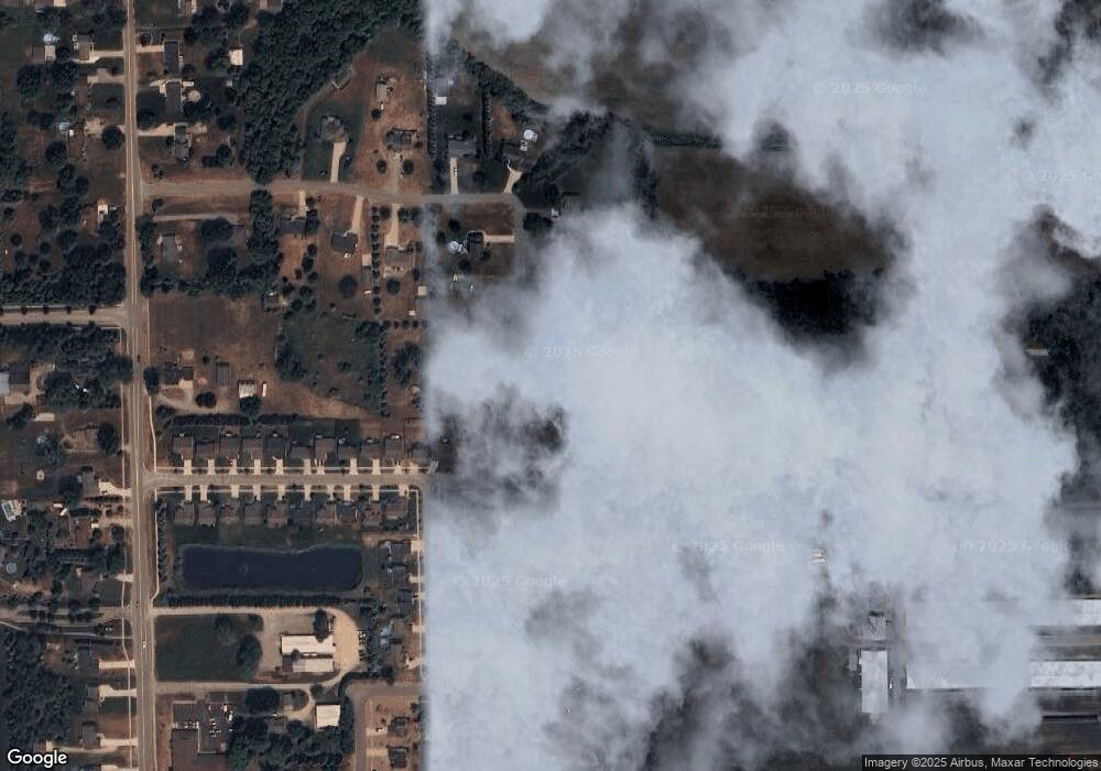
Map
Nearby Homes
- 5885 Farmview Dr
- 11464 Hunters Meadow Dr
- 6169 Slumber Way
- 11474 56th Ave
- 11638 Everett Ave
- 11757 Everett Ave
- 11444 56th Ave
- 6221 Slumber Way
- 11367 Rosewood Ave
- 6283 Roman Rd
- 6306 Roman Rd
- 11488 56th Ave
- 6296 High Queen Ct
- 6318 Roman Rd
- 11689 Restful Way
- 5690 Forest View St
- 11506 56th Ave
- 6135 Molli Dr
- 12713 Ridgedale Dr
- 12652 Ridgedale Dr
- 11788 Kathy Jo Ln
- 11773 Kathy Jo Ln
- 11817 Kathy Jo Ln Unit 10
- 11718 Brookridge Dr
- 11710 Brookridge Dr
- 11828 Kathy Jo Ln Unit 6
- 5897 Farmview Dr
- 11698 Brookridge Dr
- 11683 Spruceview Dr Unit 4
- 5892 Almari Dr
- 11682 Spruceview Dr
- 5909 Farmview Dr
- 5898 Farmview Dr
- 11688 Brookridge Dr Unit 9
- 11688 Brookridge Dr
- 11695 Brookridge Dr
- 11677 Spruceview Dr Unit 5
- 5910 Farmview Dr
- 11680 Brookridge Dr
- 5914 Almari Dr