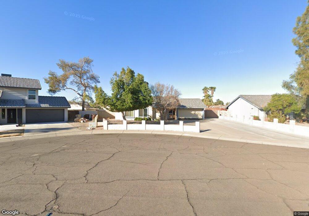
11770 N 67th Dr Peoria, AZ 85345
Estimated Value: $347,452 - $449,000
--
Bed
2
Baths
1,811
Sq Ft
$228/Sq Ft
Est. Value
About This Home
This home is located at 11770 N 67th Dr, Peoria, AZ 85345 and is currently estimated at $412,113, approximately $227 per square foot. 11770 N 67th Dr is a home located in Maricopa County with nearby schools including Sundance Elementary School, Centennial High School, and Legacy Traditional School - Glendale.
Ownership History
Date
Name
Owned For
Owner Type
Purchase Details
Closed on
Jul 21, 2016
Sold by
Patton Donna G
Bought by
Patton Donna Gene and The Donna G Patton Revocable Trust Ua
Current Estimated Value
Purchase Details
Closed on
Sep 9, 1996
Sold by
Wilkman Karl G and Wilkman Helen I
Bought by
Patton J W and Patton Donna G
Home Financials for this Owner
Home Financials are based on the most recent Mortgage that was taken out on this home.
Original Mortgage
$98,262
Outstanding Balance
$8,363
Interest Rate
8.1%
Mortgage Type
FHA
Estimated Equity
$403,750
Create a Home Valuation Report for This Property
The Home Valuation Report is an in-depth analysis detailing your home's value as well as a comparison with similar homes in the area
Home Values in the Area
Average Home Value in this Area
Purchase History
| Date | Buyer | Sale Price | Title Company |
|---|---|---|---|
| Patton Donna Gene | -- | None Available | |
| Patton J W | $99,000 | First American Title |
Source: Public Records
Mortgage History
| Date | Status | Borrower | Loan Amount |
|---|---|---|---|
| Open | Patton J W | $98,262 |
Source: Public Records
Tax History Compared to Growth
Tax History
| Year | Tax Paid | Tax Assessment Tax Assessment Total Assessment is a certain percentage of the fair market value that is determined by local assessors to be the total taxable value of land and additions on the property. | Land | Improvement |
|---|---|---|---|---|
| 2025 | $1,368 | $18,066 | -- | -- |
| 2024 | $1,385 | $17,206 | -- | -- |
| 2023 | $1,385 | $30,880 | $6,170 | $24,710 |
| 2022 | $1,356 | $23,750 | $4,750 | $19,000 |
| 2021 | $1,452 | $22,070 | $4,410 | $17,660 |
| 2020 | $1,466 | $20,360 | $4,070 | $16,290 |
| 2019 | $1,418 | $18,670 | $3,730 | $14,940 |
| 2018 | $1,371 | $17,350 | $3,470 | $13,880 |
| 2017 | $944 | $13,180 | $2,630 | $10,550 |
| 2016 | $935 | $12,220 | $2,440 | $9,780 |
| 2015 | $872 | $11,850 | $2,370 | $9,480 |
Source: Public Records
Map
Nearby Homes
- 6821 W Cherry Hills Dr
- 6739 W Cactus Rd
- 6914 W Sunnyside Dr Unit 3
- 6763 W Wethersfield Rd
- 6849 W Wethersfield Rd
- 6938 W Jenan Dr
- 6746 W Wethersfield Rd
- 6749 W Charter Oak Rd
- 6845 W Charter Oak Rd
- 6409 W Poinsettia Dr
- 6409 W Riviera Dr
- 6527 W Bloomfield Rd
- 7044 W Cameron Dr
- 7113 W Sunnyside Dr
- 7126 W Jenan Dr
- 10960 N 67th Ave Unit 118
- 10960 N 67th Ave Unit 235
- 10960 N 67th Ave Unit 105
- 10960 N 67th Ave Unit 56
- 10960 N 67th Ave Unit 74
- 11780 N 67th Dr
- 11760 N 67th Dr
- 11769 N 68th Ave
- 11779 N 68th Ave
- 11755 N 68th Ave
- 11759 N 68th Ave
- 11749 N 67th Dr
- 11769 N 67th Dr
- 11779 N 67th Dr
- 11759 N 67th Dr
- 6720 W Sunnyside Dr
- 6714 W Sunnyside Dr
- 6732 W Sunnyside Dr
- 6803 W Sunnyside Dr
- 6708 W Sunnyside Dr
- 11764 N 68th Ave
- 11754 N 68th Ave
- 6702 W Sunnyside Dr
- 6802 W Sunnyside Dr
- 6725 W Jenan Dr