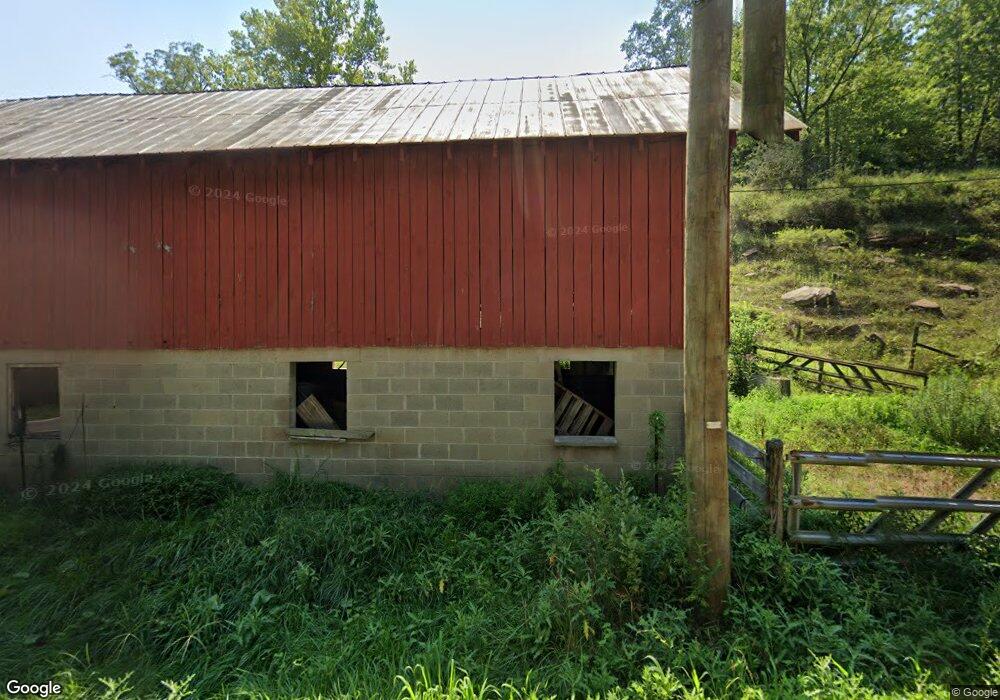
11771 State Route 775 Scottown, OH 45678
Estimated Value: $237,000 - $276,915
3
Beds
2
Baths
1,628
Sq Ft
$162/Sq Ft
Est. Value
About This Home
This home is located at 11771 State Route 775, Scottown, OH 45678 and is currently estimated at $262,972, approximately $161 per square foot. 11771 State Route 775 is a home located in Lawrence County with nearby schools including Symmes Valley Elementary School and Symmes Valley High School.
Ownership History
Date
Name
Owned For
Owner Type
Purchase Details
Closed on
Apr 26, 2021
Sold by
Mccomas Ruby C and Mccomas Ruby C
Bought by
Walker Stephen Scott and Walker Angie D
Current Estimated Value
Purchase Details
Closed on
Jun 30, 2011
Sold by
Mccomas George C and Mccomas Ruby C
Bought by
Mccomas George C and Mccomas Ruby C
Purchase Details
Closed on
Jan 1, 1987
Bought by
Mccomas George C and Mccomas Charline
Create a Home Valuation Report for This Property
The Home Valuation Report is an in-depth analysis detailing your home's value as well as a comparison with similar homes in the area
Home Values in the Area
Average Home Value in this Area
Purchase History
| Date | Buyer | Sale Price | Title Company |
|---|---|---|---|
| Walker Stephen Scott | $275,000 | None Listed On Document | |
| Mccomas George C | -- | Attorney | |
| Mccomas George C | -- | -- |
Source: Public Records
Tax History Compared to Growth
Tax History
| Year | Tax Paid | Tax Assessment Tax Assessment Total Assessment is a certain percentage of the fair market value that is determined by local assessors to be the total taxable value of land and additions on the property. | Land | Improvement |
|---|---|---|---|---|
| 2024 | -- | $68,630 | $20,490 | $48,140 |
| 2023 | $1,645 | $68,630 | $20,490 | $48,140 |
| 2022 | $1,644 | $68,630 | $20,490 | $48,140 |
| 2021 | $1,595 | $61,460 | $15,420 | $46,040 |
| 2020 | $1,587 | $59,160 | $13,120 | $46,040 |
| 2019 | $1,366 | $59,160 | $13,120 | $46,040 |
| 2018 | $1,319 | $56,740 | $12,860 | $43,880 |
| 2017 | $1,319 | $56,740 | $12,860 | $43,880 |
| 2016 | $1,226 | $56,740 | $12,860 | $43,880 |
| 2015 | $1,096 | $51,850 | $12,850 | $39,000 |
| 2014 | $1,095 | $51,850 | $12,850 | $39,000 |
| 2013 | $1,095 | $51,850 | $12,850 | $39,000 |
Source: Public Records
Map
Nearby Homes
- 810 Township Road 141
- 479 Township Road 122
- 168 Township Road 122 W
- 0 Dillon Ridge Unit 23651508
- 0 Dillon Ridge Unit 181305
- State Route 790
- 1805 Long Creek Rd E
- 266 Twp Rd 209
- 0 Venisonham-Camp Branch Rd Unit Tract 2
- 0 Venisonham-Camp Branch Rd Unit Tract 1
- 0 Venisonham-Camp Branch Rd
- 0 Venisonham-Camp Branch Rd Unit 25766693
- 0 Venisonham-Camp Branch Rd Unit 3
- 13498 County Road 2
- 00 Ohio 217
- 0 Ohio 217
- 4754 County Road 36
- 11904 State Route 217
- State Route 790
- 0 Ohio 378
- 701 Township Road 212 N
- 10676 County Road 2
- 0 County Road 2
- 10 Perkins Branch Rd N
- 644 Township Road 212 N
- 10770 County Road 2
- 10856 County Road 2
- 12419 State Route 775
- 12554 State Route 775
- 10142 County Road 2
- 10051 County Road 2
- 10995 State Route 775
- 11299 County Road 2
- 9849 County Road 2
- 12673 State Route 775
- 12763 State Route 775
- 1577 Township Road 141
- 9372 County Road 2
- 12865 State Route 775
- 9350 County Road 2