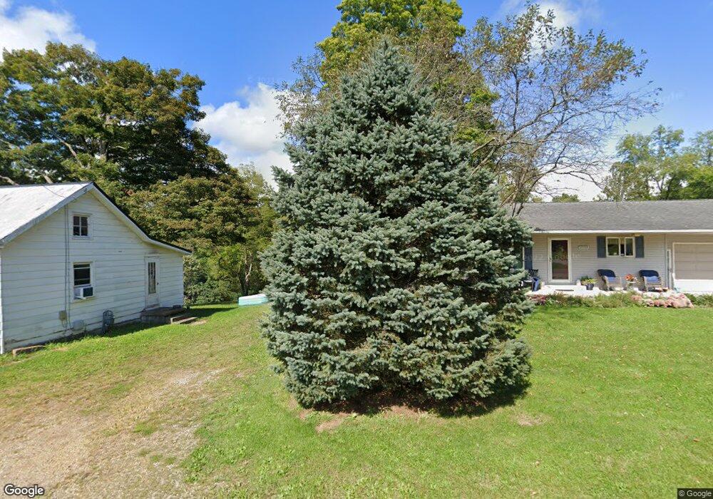
11779 Mill St Howard, OH 43028
Estimated Value: $214,000 - $284,000
2
Beds
1
Bath
1,104
Sq Ft
$226/Sq Ft
Est. Value
About This Home
This home is located at 11779 Mill St, Howard, OH 43028 and is currently estimated at $249,000, approximately $225 per square foot. 11779 Mill St is a home located in Knox County with nearby schools including East Knox Elementary School and East Knox High School.
Ownership History
Date
Name
Owned For
Owner Type
Purchase Details
Closed on
Dec 21, 2007
Sold by
Hess Donald G and Hess Debra
Bought by
Hess Jeffery
Current Estimated Value
Home Financials for this Owner
Home Financials are based on the most recent Mortgage that was taken out on this home.
Original Mortgage
$32,900
Outstanding Balance
$20,110
Interest Rate
6.17%
Mortgage Type
New Conventional
Estimated Equity
$228,890
Purchase Details
Closed on
Jun 12, 2007
Sold by
Hess Ronald D and Hess Judy
Bought by
Hess Donald G
Purchase Details
Closed on
Jun 29, 2000
Sold by
Hess Ronald D
Bought by
Hess Donald G
Purchase Details
Closed on
Jul 24, 1989
Sold by
Rine Len E and Rine Sara L
Bought by
Hess Ronald D
Create a Home Valuation Report for This Property
The Home Valuation Report is an in-depth analysis detailing your home's value as well as a comparison with similar homes in the area
Purchase History
| Date | Buyer | Sale Price | Title Company |
|---|---|---|---|
| Hess Jeffery | $35,250 | Vta Title Agency Inc | |
| Hess Donald G | -- | None Available | |
| Hess Donald G | -- | -- | |
| Hess Ronald D | $16,500 | -- |
Source: Public Records
Mortgage History
| Date | Status | Borrower | Loan Amount |
|---|---|---|---|
| Open | Hess Jeffery | $32,900 |
Source: Public Records
Tax History
| Year | Tax Paid | Tax Assessment Tax Assessment Total Assessment is a certain percentage of the fair market value that is determined by local assessors to be the total taxable value of land and additions on the property. | Land | Improvement |
|---|---|---|---|---|
| 2025 | $63 | $1,480 | $1,480 | $0 |
| 2024 | $63 | $1,480 | $1,480 | $0 |
| 2023 | $64 | $1,480 | $1,480 | $0 |
| 2022 | $55 | $1,020 | $1,020 | $0 |
| 2021 | $55 | $1,020 | $1,020 | $0 |
| 2020 | $53 | $1,020 | $1,020 | $0 |
| 2019 | $61 | $1,100 | $1,100 | $0 |
| 2018 | $58 | $1,100 | $1,100 | $0 |
| 2017 | $58 | $1,100 | $1,100 | $0 |
| 2016 | $54 | $1,020 | $1,020 | $0 |
| 2015 | $50 | $1,020 | $1,020 | $0 |
| 2014 | $48 | $1,020 | $1,020 | $0 |
| 2013 | $67 | $1,260 | $960 | $300 |
Source: Public Records
Map
Nearby Homes
- 26004 Millwood Rd
- 01 Grand Rd Rear
- 24305 Coshocton Rd
- 0 Howard-Danville Rd
- 12651 Grant St
- 12440 Mary St
- 12354 Mary St
- 13356 Mowery Rd
- 0 Flat Run Rd
- 29100 Flat Run Rd
- 8563 Hazel Dell Rd
- 106 W Rambo St
- 4053 Apple Valley Dr
- 4045 Apple Valley Dr Unit LOT 10
- 4045 Apple Valley Dr
- 4006 Apple Valley Dr
- 3996 Apple Valley Dr
- 467 Ridgeland Dr
- 0 Hoover Road Hoover Rd
- 14119 Magers Rd
- 11779 Mill St
- 11793 Mill St
- 11761 Mill St
- 26120 Coshocton Rd
- 26120 Coshocton Rd
- 11751 Mill St
- 11758 Mill St
- 26132 Coshocton Rd
- 26132 Coshocton Rd
- 11748 Mill St
- 11783 Bridge St
- 26101 Coshocton Rd
- 26101 Coshocton Rd
- 11763 Bridge St
- 26119 Coshocton Rd
- 26160 Coshocton Rd
- 11753 Bridge St
- 26129 Coshocton Rd
- 26100 Coshocton Rd
- 26145 Coshocton Rd
Your Personal Tour Guide
Ask me questions while you tour the home.