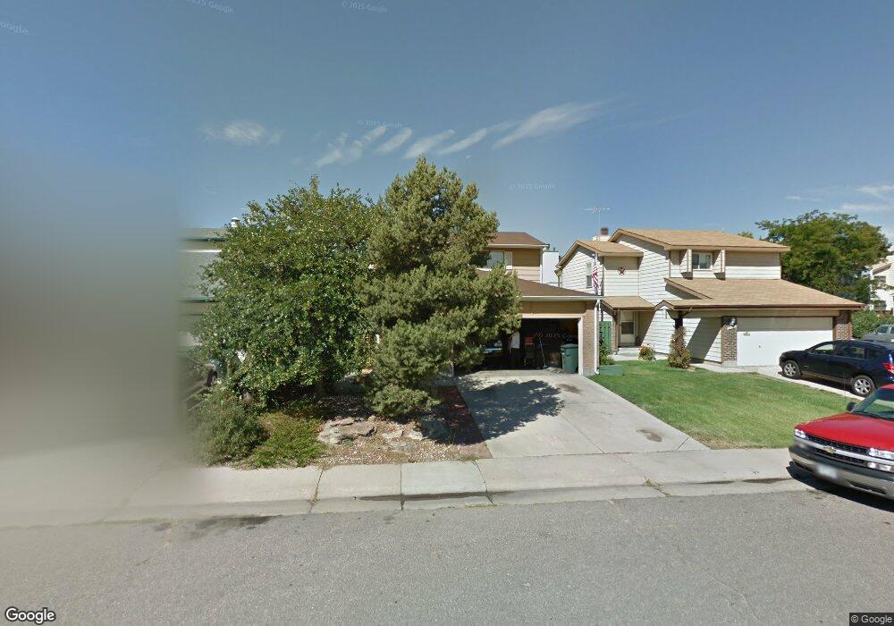
11785 Sherman St Northglenn, CO 80233
Estimated Value: $434,000 - $498,000
3
Beds
2
Baths
1,537
Sq Ft
$302/Sq Ft
Est. Value
About This Home
This home is located at 11785 Sherman St, Northglenn, CO 80233 and is currently estimated at $464,149, approximately $301 per square foot. 11785 Sherman St is a home located in Adams County with nearby schools including Stukey Elementary School, Northglenn Middle School, and Thornton High School.
Ownership History
Date
Name
Owned For
Owner Type
Purchase Details
Closed on
Jan 2, 2007
Sold by
Davis Phyllis V and Davis Robert E
Bought by
Davis Randall J
Current Estimated Value
Purchase Details
Closed on
Sep 22, 2004
Sold by
Davis Randall J
Bought by
Davis Phyllis V and Davis Robert E
Home Financials for this Owner
Home Financials are based on the most recent Mortgage that was taken out on this home.
Original Mortgage
$180,000
Interest Rate
5%
Mortgage Type
Seller Take Back
Create a Home Valuation Report for This Property
The Home Valuation Report is an in-depth analysis detailing your home's value as well as a comparison with similar homes in the area
Home Values in the Area
Average Home Value in this Area
Purchase History
| Date | Buyer | Sale Price | Title Company |
|---|---|---|---|
| Davis Randall J | $203,000 | Security Title | |
| Davis Phyllis V | $200,000 | -- |
Source: Public Records
Mortgage History
| Date | Status | Borrower | Loan Amount |
|---|---|---|---|
| Previous Owner | Davis Phyllis V | $180,000 |
Source: Public Records
Tax History Compared to Growth
Tax History
| Year | Tax Paid | Tax Assessment Tax Assessment Total Assessment is a certain percentage of the fair market value that is determined by local assessors to be the total taxable value of land and additions on the property. | Land | Improvement |
|---|---|---|---|---|
| 2024 | $3,434 | $27,820 | $5,630 | $22,190 |
| 2023 | $3,403 | $32,470 | $5,410 | $27,060 |
| 2022 | $3,066 | $24,280 | $5,560 | $18,720 |
| 2021 | $3,165 | $24,280 | $5,560 | $18,720 |
| 2020 | $2,831 | $22,160 | $5,720 | $16,440 |
| 2019 | $2,833 | $22,160 | $5,720 | $16,440 |
| 2018 | $2,401 | $18,300 | $5,040 | $13,260 |
| 2017 | $2,209 | $18,300 | $5,040 | $13,260 |
| 2016 | $1,725 | $13,950 | $2,870 | $11,080 |
| 2015 | $1,722 | $13,950 | $2,870 | $11,080 |
| 2014 | $1,605 | $12,670 | $2,470 | $10,200 |
Source: Public Records
Map
Nearby Homes
- 11681 Logan St
- 11723 Quam Dr
- 11840 Clarkson Ct
- 11718 Keough Dr
- 11584 Community Center Dr Unit 71
- 860 Dean Dr
- 11502 Carlile St
- 11816 Spring Dr
- 1081 E 119th Place
- 1469 Dean Dr
- 11855 Humboldt Dr
- 12222 Bannock Cir Unit F
- 11675 Fowler Dr
- 12115 Bannock St Unit B
- 533 W 114th Way
- 12191 Bannock St Unit C
- 11882 Irma Dr
- 380 E 111th Place
- 500 E 111th Place
- 12102 Melody Dr Unit 103
- 11791 Sherman St
- 11779 Sherman St
- 11773 Sherman St
- 11786 Lincoln St
- 11792 Lincoln St
- 11780 Lincoln St
- 11774 Lincoln St
- 11767 Sherman St
- 11801 Sherman St
- 11786 Sherman St
- 11792 Sherman St
- 11780 Sherman St
- 11768 Lincoln St
- 11802 Lincoln St
- 11774 Sherman St
- 11761 Sherman St
- 11768 Sherman St
- 11802 Sherman St
- 11762 Lincoln St
- 11808 Lincoln St