11786 Ted Davis Rd Greens Fork, IN 47345
Estimated Value: $433,000 - $773,709
4
Beds
1
Bath
2,936
Sq Ft
$184/Sq Ft
Est. Value
About This Home
This home is located at 11786 Ted Davis Rd, Greens Fork, IN 47345 and is currently estimated at $539,427, approximately $183 per square foot. 11786 Ted Davis Rd is a home located in Wayne County with nearby schools including Hagerstown Elementary School and Hagerstown Junior/Senior High School.
Ownership History
Date
Name
Owned For
Owner Type
Purchase Details
Closed on
Jul 18, 2024
Sold by
Stoltzfus Benjamin M and Stoltzfus Ruth
Bought by
Stoltzfus David F and Stoltzfus Lydia E
Current Estimated Value
Home Financials for this Owner
Home Financials are based on the most recent Mortgage that was taken out on this home.
Original Mortgage
$395,000
Outstanding Balance
$391,996
Interest Rate
6.99%
Mortgage Type
Seller Take Back
Estimated Equity
$147,431
Create a Home Valuation Report for This Property
The Home Valuation Report is an in-depth analysis detailing your home's value as well as a comparison with similar homes in the area
Purchase History
| Date | Buyer | Sale Price | Title Company |
|---|---|---|---|
| Stoltzfus David F | -- | None Listed On Document |
Source: Public Records
Mortgage History
| Date | Status | Borrower | Loan Amount |
|---|---|---|---|
| Open | Stoltzfus David F | $395,000 |
Source: Public Records
Tax History
| Year | Tax Paid | Tax Assessment Tax Assessment Total Assessment is a certain percentage of the fair market value that is determined by local assessors to be the total taxable value of land and additions on the property. | Land | Improvement |
|---|---|---|---|---|
| 2025 | $7,587 | $528,000 | $136,700 | $391,300 |
| 2024 | $7,587 | $522,900 | $143,200 | $379,700 |
| 2023 | $76 | $484,500 | $120,500 | $364,000 |
| 2022 | $8,250 | $504,500 | $98,300 | $406,200 |
| 2021 | $9,744 | $542,500 | $86,500 | $456,000 |
| 2020 | $9,441 | $534,300 | $85,800 | $448,500 |
| 2019 | $9,553 | $566,000 | $101,400 | $464,600 |
| 2018 | $8,936 | $542,700 | $104,200 | $438,500 |
| 2017 | $7,697 | $495,400 | $117,500 | $377,900 |
| 2016 | $7,016 | $466,600 | $123,200 | $343,400 |
| 2014 | $6,095 | $436,700 | $128,200 | $308,500 |
| 2013 | $6,095 | $409,700 | $112,000 | $297,700 |
Source: Public Records
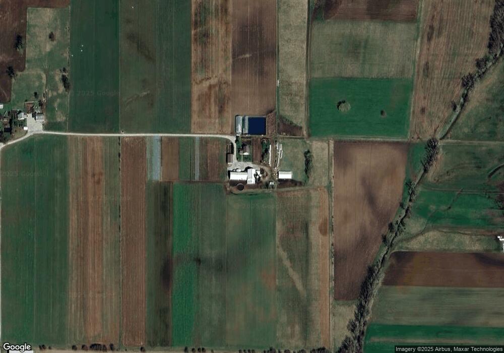
Map
Nearby Homes
- 10422 State Road 38
- 5226 Sugar Grove Rd
- 1722 N Jacksonburg Rd
- 314 S Main St
- 8961 College Corner Rd
- 103 E Graceland Heights Dr
- 301 S Elm St
- 152 W Madison St
- 7458 Palmer Rd
- 50 Grandview Ct
- 152 W College St
- 7840 N Jacksonburg Rd
- 401 N Washington St
- 14493 Goose Heaven Rd
- 9683 U S 40
- 7842 College Corner Rd
- 210 Elm St
- 1211 S Germantown Rd
- 6027 State Road 38
- 16625 State Road 38
Your Personal Tour Guide
Ask me questions while you tour the home.