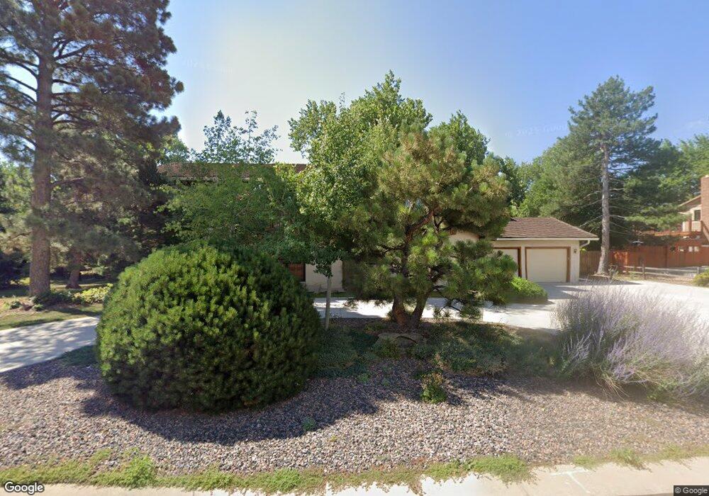
11786 W 53rd Place Arvada, CO 80002
Rainbow Ridge NeighborhoodEstimated Value: $956,000 - $1,202,000
3
Beds
5
Baths
3,376
Sq Ft
$309/Sq Ft
Est. Value
About This Home
This home is located at 11786 W 53rd Place, Arvada, CO 80002 and is currently estimated at $1,044,327, approximately $309 per square foot. 11786 W 53rd Place is a home located in Jefferson County with nearby schools including Vanderhoof Elementary School, Drake Junior High School, and Arvada West High School.
Ownership History
Date
Name
Owned For
Owner Type
Purchase Details
Closed on
Jul 21, 2020
Sold by
Pansze Patricia H
Bought by
Pansze Arthur J and Pansze Patricia H
Current Estimated Value
Purchase Details
Closed on
Jul 8, 2009
Sold by
Pansze Arthur J
Bought by
Pansze Patricia H
Purchase Details
Closed on
May 4, 2009
Sold by
Pansze Arthur J
Bought by
Pansze Patricia H
Create a Home Valuation Report for This Property
The Home Valuation Report is an in-depth analysis detailing your home's value as well as a comparison with similar homes in the area
Home Values in the Area
Average Home Value in this Area
Purchase History
| Date | Buyer | Sale Price | Title Company |
|---|---|---|---|
| Pansze Arthur J | -- | None Available | |
| Pansze Patricia H | -- | None Available | |
| Pansze Patricia H | -- | None Available |
Source: Public Records
Tax History Compared to Growth
Tax History
| Year | Tax Paid | Tax Assessment Tax Assessment Total Assessment is a certain percentage of the fair market value that is determined by local assessors to be the total taxable value of land and additions on the property. | Land | Improvement |
|---|---|---|---|---|
| 2024 | $5,068 | $60,431 | $29,318 | $31,113 |
| 2023 | $5,068 | $60,431 | $29,318 | $31,113 |
| 2022 | $4,006 | $49,019 | $20,358 | $28,661 |
| 2021 | $4,071 | $50,429 | $20,944 | $29,485 |
| 2020 | $3,454 | $43,909 | $16,360 | $27,549 |
| 2019 | $3,407 | $43,909 | $16,360 | $27,549 |
| 2018 | $3,714 | $46,174 | $13,029 | $33,145 |
| 2017 | $3,394 | $46,174 | $13,029 | $33,145 |
| 2016 | $3,312 | $43,612 | $12,608 | $31,004 |
| 2015 | $1,676 | $43,612 | $12,608 | $31,004 |
| 2014 | $3,054 | $38,907 | $11,302 | $27,605 |
Source: Public Records
Map
Nearby Homes
- 5240 Routt Ct Unit B
- 12081 W 54th Ave
- 11873 W 56th Cir
- Haskins Station Plan at Haskins Station
- Plan 133 at Haskins Station
- Plan 132 at Haskins Station
- Plan 122 at Haskins Station
- Plan 123 at Haskins Station
- 5182 Rob Way
- 11201 W 53rd Dr
- 11205 W 53rd Ln
- 5154 Taft Ct
- 5293 Quail Way
- 5368 Quail St
- 5387 Pierson Ct
- 11237 W 55th Ln
- 5173 Vivian St
- 11958 W 57th Place
- 5188 Ward Rd
- 5160 Ward Rd
- 11776 W 53rd Place
- 11785 W 53rd Place
- 5320 Tabor St
- 11775 W 53rd Place
- 5360 Tabor St
- 11766 W 53rd Place
- 5310 Tabor St
- 11765 W 53rd Place
- 11768 W 54th Place
- 11741 W 52nd Ave
- 11778 W 54th Place
- 5345 Tabor St
- 11758 W 54th Place
- 5335 Tabor St
- 12010 W 54th Ave
- 5325 Tabor St
- 5420 Tabor St
- 11748 W 54th Place
- 5371 Routt Ct
- 5361 Routt Ct