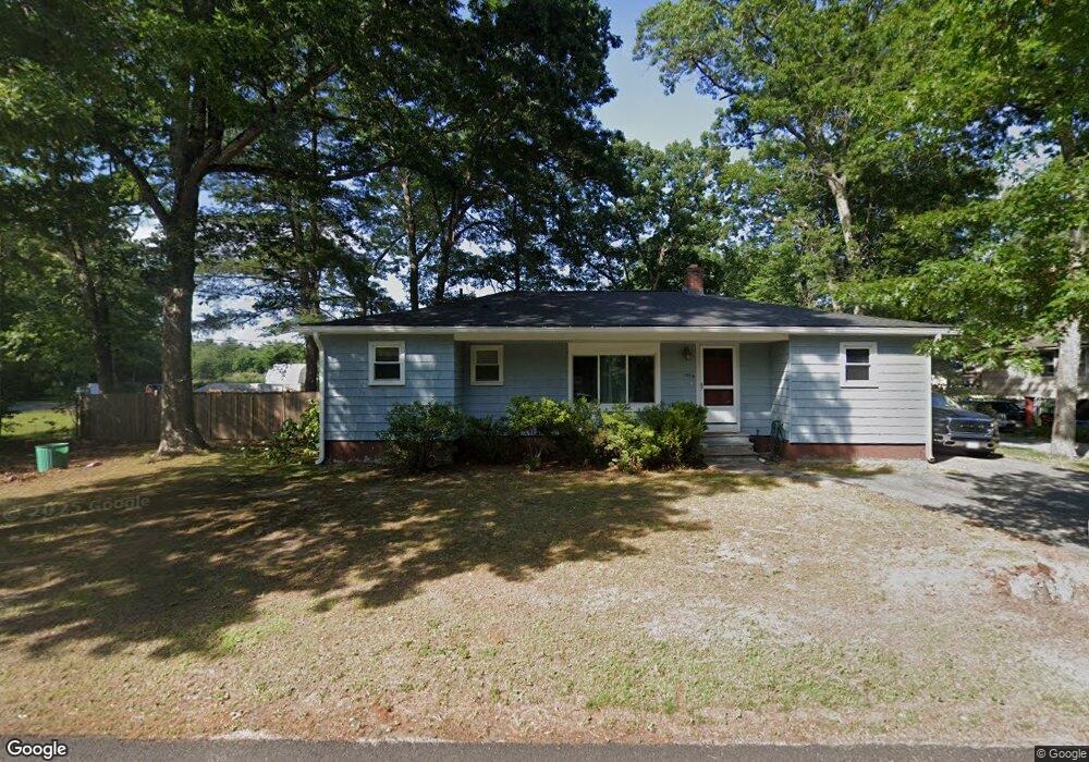
1179 Auburn St Whitman, MA 02382
--
Bed
--
Bath
5,900
Sq Ft
20.91
Acres
About This Home
This home is located at 1179 Auburn St, Whitman, MA 02382. 1179 Auburn St is a home located in Plymouth County with nearby schools including Trinity Catholic Academy, Brockton Area Seventh-Day Adventist Academy, and Cardinal Spellman High School.
Ownership History
Date
Name
Owned For
Owner Type
Purchase Details
Closed on
May 22, 2008
Sold by
Lassman Tr Donald R and Dunlap Wayne C
Bought by
1179 Aubrn Street Llc and Ross James
Home Financials for this Owner
Home Financials are based on the most recent Mortgage that was taken out on this home.
Original Mortgage
$180,000
Interest Rate
5.94%
Mortgage Type
Commercial
Purchase Details
Closed on
Sep 8, 1995
Sold by
Carter Robert R
Bought by
Dunlap Wayne C and Depina John J
Home Financials for this Owner
Home Financials are based on the most recent Mortgage that was taken out on this home.
Original Mortgage
$55,000
Interest Rate
7.8%
Mortgage Type
Purchase Money Mortgage
Create a Home Valuation Report for This Property
The Home Valuation Report is an in-depth analysis detailing your home's value as well as a comparison with similar homes in the area
Home Values in the Area
Average Home Value in this Area
Purchase History
| Date | Buyer | Sale Price | Title Company |
|---|---|---|---|
| 1179 Aubrn Street Llc | $225,000 | -- | |
| Dunlap Wayne C | $55,000 | -- |
Source: Public Records
Mortgage History
| Date | Status | Borrower | Loan Amount |
|---|---|---|---|
| Open | Dunlap Wayne C | $456,000 | |
| Closed | Dunlap Wayne C | $180,000 | |
| Previous Owner | Dunlap Wayne C | $55,000 |
Source: Public Records
Tax History Compared to Growth
Tax History
| Year | Tax Paid | Tax Assessment Tax Assessment Total Assessment is a certain percentage of the fair market value that is determined by local assessors to be the total taxable value of land and additions on the property. | Land | Improvement |
|---|---|---|---|---|
| 2025 | $7,737 | $589,700 | $315,500 | $274,200 |
| 2024 | $7,113 | $558,300 | $293,800 | $264,500 |
| 2023 | $7,459 | $549,700 | $293,800 | $255,900 |
| 2022 | $7,407 | $508,700 | $278,500 | $230,200 |
| 2021 | $7,806 | $503,600 | $287,000 | $216,600 |
| 2020 | $7,682 | $484,700 | $276,100 | $208,600 |
| 2019 | $7,455 | $484,700 | $276,100 | $208,600 |
| 2018 | $7,734 | $483,100 | $276,100 | $207,000 |
| 2017 | $7,275 | $482,400 | $276,100 | $206,300 |
| 2016 | $7,603 | $487,700 | $276,100 | $211,600 |
| 2015 | $7,613 | $487,700 | $276,100 | $211,600 |
Source: Public Records
Map
Nearby Homes
- 1121 Auburn St
- 877 Auburnville Way Unit D4
- 26 Alger St
- 99 Alger St
- 32 Joyce Terrace
- 307 Homeland Dr
- 262 Homeland Dr
- 728 Auburn St Unit F6
- 93 Porter St
- 104 Crestfield Dr
- 618 Auburn St
- 485 Temple St
- 16 Davis St
- 24 Churchill Ave
- 300 High St
- 604 Bedford St Unit 5
- 78 Linda St
- 205 Bedford St
- 91 Clapp St
- 63 Rice St
- 1129 Auburn St
- 1135 Auburn St
- 1199 Auburn St
- 1132 Auburn St
- 1152 Auburn St
- 1140 Auburn St
- 1120 Auburn St
- 1055 Auburn St
- 1055 Auburn St Unit 1
- 1100 Auburn St
- 1090 Auburn St
- 1225 Auburn St
- 7 Captain Allen Way
- 1045 Auburn St Unit 1
- 1235 Auburn St
- 15 Captain Allen Way
- 10 Captain Allen Way
- 31 Captain Allen Way
- Lot 13 Captain Allen Way
- 61 Captain Allen Way