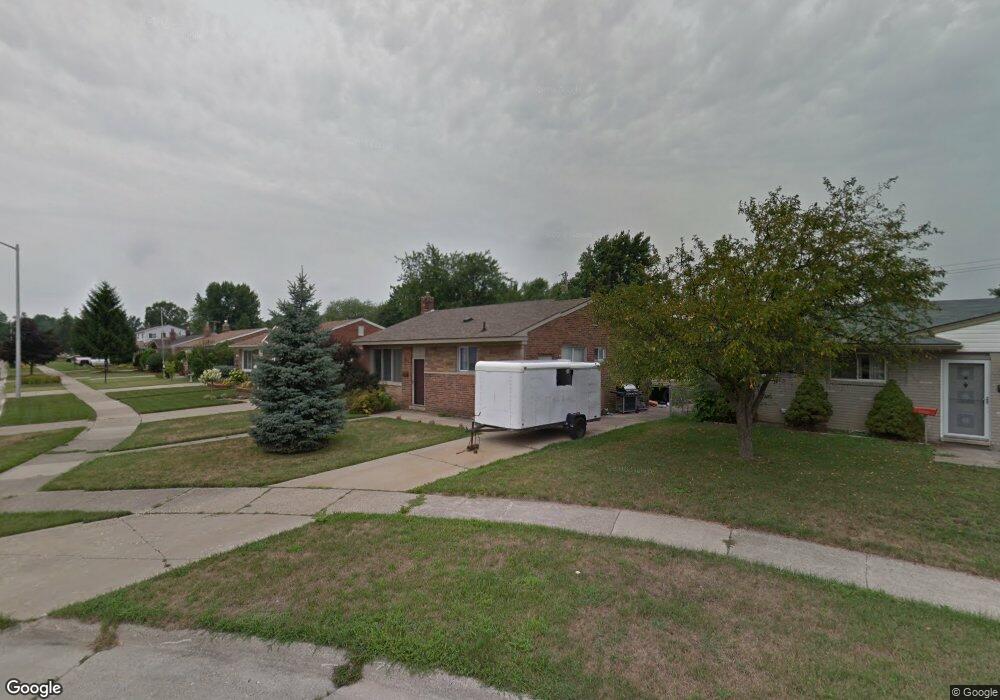
1179 Easley Dr Unit Bldg-Unit Westland, MI 48186
Estimated Value: $142,000 - $212,000
--
Bed
2
Baths
1,014
Sq Ft
$175/Sq Ft
Est. Value
About This Home
This home is located at 1179 Easley Dr Unit Bldg-Unit, Westland, MI 48186 and is currently estimated at $177,237, approximately $174 per square foot. 1179 Easley Dr Unit Bldg-Unit is a home located in Wayne County with nearby schools including Alexander Hamilton Elementary School, Adams Middle School, and Benjamin Franklin Middle School.
Ownership History
Date
Name
Owned For
Owner Type
Purchase Details
Closed on
Mar 1, 2018
Sold by
Wilhelm Jason L
Bought by
Garner Amanda Marie
Current Estimated Value
Home Financials for this Owner
Home Financials are based on the most recent Mortgage that was taken out on this home.
Original Mortgage
$107,516
Outstanding Balance
$91,847
Interest Rate
4.25%
Mortgage Type
FHA
Estimated Equity
$85,390
Purchase Details
Closed on
May 18, 2001
Sold by
Korzeniewski Eva
Bought by
Wilhelm Jason L
Create a Home Valuation Report for This Property
The Home Valuation Report is an in-depth analysis detailing your home's value as well as a comparison with similar homes in the area
Home Values in the Area
Average Home Value in this Area
Purchase History
| Date | Buyer | Sale Price | Title Company |
|---|---|---|---|
| Garner Amanda Marie | $109,500 | Title One Inc | |
| Wilhelm Jason L | $119,900 | -- |
Source: Public Records
Mortgage History
| Date | Status | Borrower | Loan Amount |
|---|---|---|---|
| Open | Garner Amanda Marie | $107,516 |
Source: Public Records
Tax History Compared to Growth
Tax History
| Year | Tax Paid | Tax Assessment Tax Assessment Total Assessment is a certain percentage of the fair market value that is determined by local assessors to be the total taxable value of land and additions on the property. | Land | Improvement |
|---|---|---|---|---|
| 2025 | $3,781 | $87,300 | $0 | $0 |
| 2024 | $3,781 | $82,600 | $0 | $0 |
| 2023 | $3,608 | $72,300 | $0 | $0 |
| 2022 | $3,964 | $63,800 | $0 | $0 |
| 2021 | $3,877 | $60,800 | $0 | $0 |
| 2020 | $2,832 | $55,700 | $0 | $0 |
| 2019 | $2,729 | $54,500 | $0 | $0 |
| 2018 | $1,411 | $47,500 | $0 | $0 |
| 2017 | $700 | $44,200 | $0 | $0 |
| 2016 | $2,454 | $43,900 | $0 | $0 |
| 2015 | $3,492 | $39,330 | $0 | $0 |
| 2013 | $3,383 | $34,610 | $0 | $0 |
| 2012 | $2,757 | $33,510 | $0 | $0 |
Source: Public Records
Map
Nearby Homes
- 32732 Glen St
- 1163 Denice St
- 32508 Avondale St
- 32411 Grandview Ave
- 754 Alvin St
- 0000 Barrington Ave
- 535 S Hubbard St
- 32154 Melton St
- 32111 Birchwood Ave
- 32155 Melton St
- 32025 Birchwood St
- 183 Daniel Ave Unit 6
- 32140 Palmer Rd
- 32116 Palmer Rd
- 711 S Hawthorne St
- 00000 Cherry Hill Rd
- 2075 Alanson St
- 32332 Kalamazoo Ct
- 34114 Avondale St
- 31606 Fairchild St
- 1179 Easley Dr
- 1167 Easley Dr
- 1185 Easley Dr
- 33017 Avondale St
- 33009 Avondale St
- 33001 Avondale St
- 1155 Easley Dr
- 33025 Avondale St
- 32951 Avondale St
- 1191 Easley Dr
- 1199 Easley Dr
- 1200 Easley Dr
- 33037 Avondale St
- 1143 Easley Dr
- 1131 Rahn St
- 1209 Easley Dr
- 32939 Avondale St
- 1221 Easley Dr
- 33049 Avondale St
- 1141 Rahn St