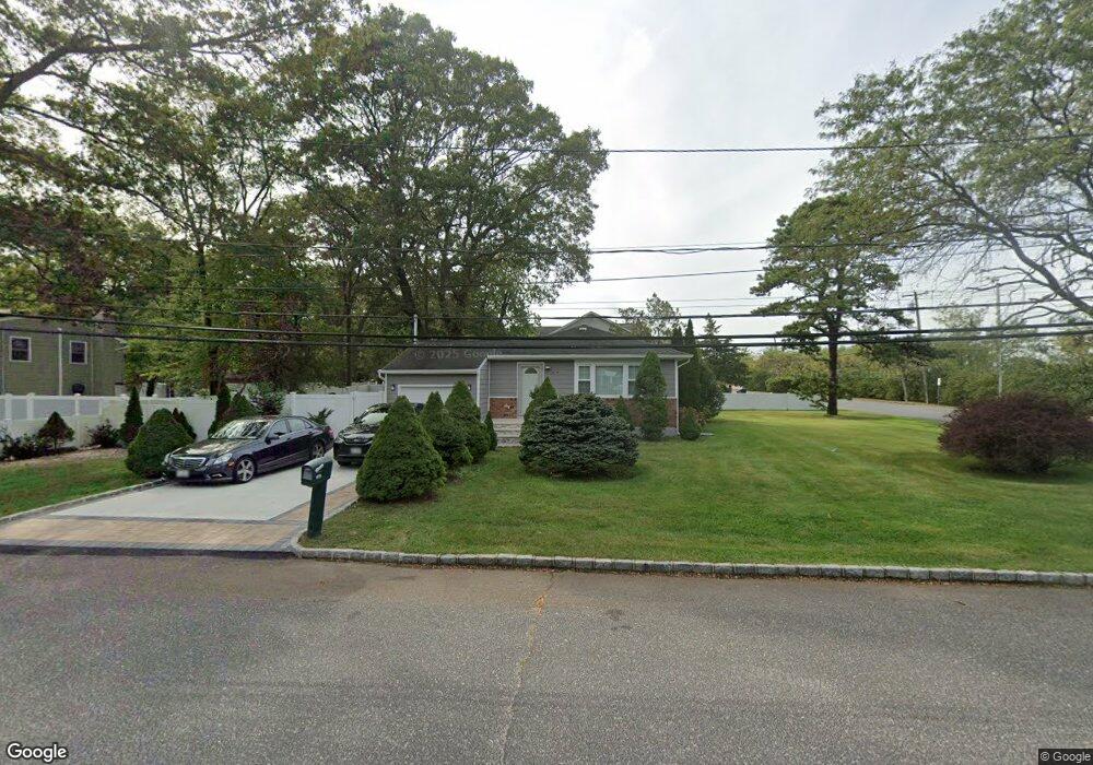
1179 Nugent Ave Bay Shore, NY 11706
Baywood NeighborhoodEstimated Value: $492,000 - $636,000
--
Bed
--
Bath
--
Sq Ft
0.29
Acres
About This Home
This home is located at 1179 Nugent Ave, Bay Shore, NY 11706 and is currently estimated at $568,379. 1179 Nugent Ave is a home located in Suffolk County with nearby schools including Bay Shore Christian School.
Ownership History
Date
Name
Owned For
Owner Type
Purchase Details
Closed on
Jun 28, 2011
Sold by
Willets Robert J and Willets Stephen T
Bought by
Gibbs Delroy and Gibbs Christobel
Current Estimated Value
Home Financials for this Owner
Home Financials are based on the most recent Mortgage that was taken out on this home.
Original Mortgage
$230,017
Outstanding Balance
$160,026
Interest Rate
4.75%
Mortgage Type
FHA
Estimated Equity
$408,353
Purchase Details
Closed on
Sep 11, 1998
Sold by
Razzano Vincent and Razzano Catherine
Bought by
Willets Robert J and Willets Stephen T
Home Financials for this Owner
Home Financials are based on the most recent Mortgage that was taken out on this home.
Original Mortgage
$118,610
Interest Rate
6.9%
Create a Home Valuation Report for This Property
The Home Valuation Report is an in-depth analysis detailing your home's value as well as a comparison with similar homes in the area
Home Values in the Area
Average Home Value in this Area
Purchase History
| Date | Buyer | Sale Price | Title Company |
|---|---|---|---|
| Gibbs Delroy | $236,000 | -- | |
| Willets Robert J | $119,500 | First American Title Ins Co |
Source: Public Records
Mortgage History
| Date | Status | Borrower | Loan Amount |
|---|---|---|---|
| Open | Gibbs Delroy | $230,017 | |
| Previous Owner | Willets Robert J | $118,610 |
Source: Public Records
Tax History Compared to Growth
Tax History
| Year | Tax Paid | Tax Assessment Tax Assessment Total Assessment is a certain percentage of the fair market value that is determined by local assessors to be the total taxable value of land and additions on the property. | Land | Improvement |
|---|---|---|---|---|
| 2024 | $8,222 | $35,700 | $8,000 | $27,700 |
| 2023 | $8,222 | $35,700 | $8,000 | $27,700 |
| 2022 | $6,998 | $35,700 | $8,000 | $27,700 |
| 2021 | $6,998 | $35,700 | $8,000 | $27,700 |
| 2020 | $7,555 | $35,700 | $8,000 | $27,700 |
| 2019 | $7,555 | $0 | $0 | $0 |
| 2018 | -- | $35,700 | $8,000 | $27,700 |
| 2017 | $7,089 | $35,700 | $8,000 | $27,700 |
| 2016 | $7,011 | $35,700 | $8,000 | $27,700 |
| 2015 | -- | $35,700 | $8,000 | $27,700 |
| 2014 | -- | $35,700 | $8,000 | $27,700 |
Source: Public Records
Map
Nearby Homes
- 0 Locust Dr Unit KEY913800
- 1609 N Thompson Dr
- 1144 Martinstein Ave
- 0 Brentwood St
- 1119 Nugent Ave
- 1739 Harrison Ave
- 1550 N Gardiner Dr
- 1224 Fairbanks Ave
- 1547 Lincoln Blvd
- 1706 Manatuck Blvd
- 132 Garden City St
- 1707 N Gardiner Dr
- 5B Hemlock Dr Unit 101
- 7A Hemlock Dr Unit 65
- 21 Chimney Ln
- 4 S Cardinal Ct
- 1614 Brightshore Blvd
- 1 Hemlock Dr Unit C148
- 1534 Pine Acres Blvd
- 1537 N Thompson Dr