1179 S 400 E Rushville, IN 46173
Estimated Value: $135,000
2
Beds
1
Bath
1,570
Sq Ft
$86/Sq Ft
Est. Value
About This Home
This home is located at 1179 S 400 E, Rushville, IN 46173 and is currently estimated at $135,000, approximately $85 per square foot. 1179 S 400 E is a home located in Rush County with nearby schools including Rushville Consolidated High School.
Ownership History
Date
Name
Owned For
Owner Type
Purchase Details
Closed on
Sep 13, 2023
Sold by
John W Norris Revocable Trust and Laurie A Norris Revocable Trust
Bought by
Farmunsons Llc
Current Estimated Value
Purchase Details
Closed on
Jul 12, 2023
Sold by
John W Norris Revocable Trust
Bought by
Laurie A Norris Revocable Trust and Norris
Purchase Details
Closed on
Jul 1, 2022
Sold by
Norris John W
Bought by
John W Norris Revocable Trust
Purchase Details
Closed on
Sep 26, 2019
Sold by
Norris John W
Bought by
Munson Kyle and Munson Morgan
Home Financials for this Owner
Home Financials are based on the most recent Mortgage that was taken out on this home.
Original Mortgage
$363,500
Interest Rate
3.6%
Mortgage Type
Commercial
Create a Home Valuation Report for This Property
The Home Valuation Report is an in-depth analysis detailing your home's value as well as a comparison with similar homes in the area
Home Values in the Area
Average Home Value in this Area
Purchase History
| Date | Buyer | Sale Price | Title Company |
|---|---|---|---|
| Farmunsons Llc | -- | None Listed On Document | |
| Laurie A Norris Revocable Trust | -- | None Listed On Document | |
| John W Norris Revocable Trust | -- | -- | |
| Munson Kyle | -- | None Available |
Source: Public Records
Mortgage History
| Date | Status | Borrower | Loan Amount |
|---|---|---|---|
| Previous Owner | Munson Kyle | $363,500 |
Source: Public Records
Tax History Compared to Growth
Tax History
| Year | Tax Paid | Tax Assessment Tax Assessment Total Assessment is a certain percentage of the fair market value that is determined by local assessors to be the total taxable value of land and additions on the property. | Land | Improvement |
|---|---|---|---|---|
| 2024 | $675 | $52,600 | $52,600 | $0 |
| 2023 | $1,881 | $136,100 | $51,400 | $84,700 |
| 2022 | $1,711 | $118,000 | $40,500 | $77,500 |
| 2021 | $1,579 | $98,900 | $34,900 | $64,000 |
| 2020 | $1,501 | $95,200 | $34,600 | $60,600 |
| 2019 | $2,912 | $195,300 | $122,200 | $73,100 |
| 2018 | $2,814 | $196,800 | $125,600 | $71,200 |
| 2017 | $2,710 | $209,400 | $141,500 | $67,900 |
| 2016 | $2,736 | $220,300 | $148,800 | $71,500 |
| 2014 | $2,617 | $225,300 | $154,700 | $70,600 |
| 2013 | $2,617 | $206,100 | $135,500 | $70,600 |
Source: Public Records
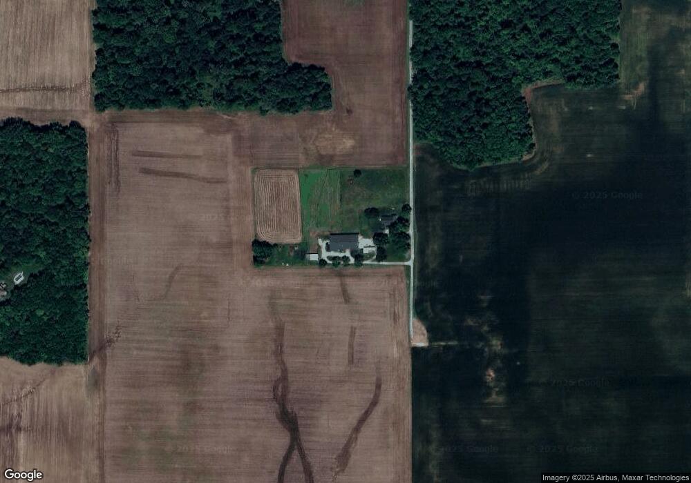
Map
Nearby Homes
- 4665 E Base Rd
- 904 E State Road 44
- 2324 E 200 N
- 1364 S Ruth St
- 1350 S Ruth St
- 2092 N 250 E
- 190 E Willard Ave
- 520 E 9th St
- 1112 U S Route 52
- 341 E 6th St
- 316 E 5th St
- 1157 S State Road 3
- 8232 W Cr 400 Rd S
- 331 E 8th St
- 336 E 9th St
- 136 E 3rd St
- 203 N Durbon St
- 902 N Willow St
- 103 S Kendall St
- 210 E 7th St
- 1238 S 400 E
- 1366 S 350 E
- 3789 E Orange Pike
- 4226 E Orange Pike
- 3896 E Orange Pike
- 3611 E Orange Pike
- 1080 S 350 E
- 1034 S 350 E
- 1163 S 450 E
- 3539 E Orange Pike
- 3521 E Orange Pike
- 3544 E Orange Pike
- 1049 S 450 E
- 1065 S 350 E
- 1587 S 350 E
- 1587 S 450 E
- 3968 E 200 S
- 1520 S 450 E
- 1520 S 450 E
- 3776 E 200 S