117940 S 4164 Rd Eufaula, OK 74432
Estimated Value: $183,000 - $377,000
3
Beds
2
Baths
1,671
Sq Ft
$146/Sq Ft
Est. Value
About This Home
This home is located at 117940 S 4164 Rd, Eufaula, OK 74432 and is currently estimated at $243,735, approximately $145 per square foot. 117940 S 4164 Rd is a home with nearby schools including Eufaula Elementary School, Eufaula Middle School, and Eufaula High School.
Ownership History
Date
Name
Owned For
Owner Type
Purchase Details
Closed on
May 20, 2025
Sold by
Layman Stanley
Bought by
Watts Tyrone
Current Estimated Value
Purchase Details
Closed on
Jun 11, 2012
Sold by
Layman Stanley Eugene and Layman Stanley E
Bought by
Rittenhouse Robert Crieg and Rittenhouse Bernita Lou
Purchase Details
Closed on
Jun 4, 2012
Sold by
Layman Brandiel
Bought by
Layman Stanley E
Create a Home Valuation Report for This Property
The Home Valuation Report is an in-depth analysis detailing your home's value as well as a comparison with similar homes in the area
Home Values in the Area
Average Home Value in this Area
Purchase History
| Date | Buyer | Sale Price | Title Company |
|---|---|---|---|
| Watts Tyrone | $180,000 | Trustmark Title | |
| Watts Tyrone | $180,000 | Trustmark Title | |
| Rittenhouse Robert Crieg | $143,600 | None Available | |
| Layman Stanley E | -- | None Available |
Source: Public Records
Mortgage History
| Date | Status | Borrower | Loan Amount |
|---|---|---|---|
| Closed | Rittenhouse Robert Crieg | $0 |
Source: Public Records
Tax History Compared to Growth
Tax History
| Year | Tax Paid | Tax Assessment Tax Assessment Total Assessment is a certain percentage of the fair market value that is determined by local assessors to be the total taxable value of land and additions on the property. | Land | Improvement |
|---|---|---|---|---|
| 2024 | $1,653 | $19,870 | $833 | $19,037 |
| 2023 | $1,653 | $18,022 | $605 | $17,417 |
| 2022 | $1,495 | $18,022 | $605 | $17,417 |
| 2021 | $1,513 | $18,022 | $605 | $17,417 |
| 2020 | $1,513 | $18,022 | $605 | $17,417 |
| 2019 | $1,526 | $18,022 | $605 | $17,417 |
| 2018 | $1,532 | $18,022 | $605 | $17,417 |
| 2017 | $1,533 | $18,397 | $605 | $17,792 |
| 2016 | $1,529 | $18,262 | $601 | $17,661 |
| 2015 | $1,436 | $17,392 | $877 | $16,515 |
| 2014 | $1,361 | $16,591 | $877 | $15,714 |
Source: Public Records
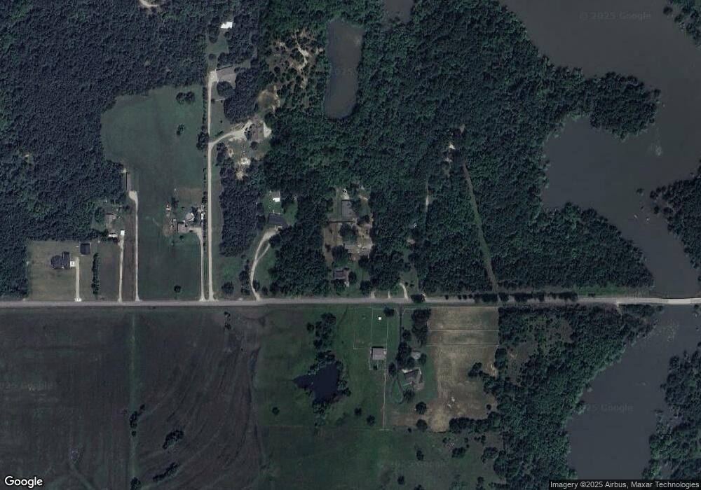
Map
Nearby Homes
- 114565 Lakewood Ct
- 3 Coon Creek Rd
- 0 Airport Rd
- 5 Eunice Burns Rd
- 1809 Sunset Dr
- 416144 E 1170 Rd
- 2 Coon Creek Dr
- 9 Coon Creek Dr
- 123 Coon Creek Dr
- 7 Coon Creek Dr
- 1931 Coon Creek Dr
- 1781 E Mcgill
- 0007 Buck St
- 1665 Buck Dr
- 414125 E1170 Rd
- 850 Pecan Ln
- 0 Coon Creek Rd Unit 2521527
- 0 Coon Creek Rd Unit 2520422
- 0 Coon Creek Rd Unit 2520205
- 1826 W Mcgill Cir
- 0 E 1180 Rd Unit 1719751
- 0 E 1180 Rd Unit 1931818
- 0 E 1180 Rd Unit 2007321
- 117849 S 4163 Rd
- 120654 S 4150 Rd
- 2045 Coon Creek Rd
- 851 Coon Creek Rd
- 2045 Coon Creek Rd
- 851 Coon Creek Rd
- 1534 Bunny Creek Rd
- 120720 S 4141 Rd
- 89 Mockingbird Dr
- 425727 E 1168 Rd
- 425853 E 1168 Rd
- 425885 E 1168 Rd
- 425857 E 1168 Rd
- 1316 Coon Creek Rd
- 910 Coon Creek Rd
- 2 Coon Creek Rd
- 7 Coon Creek Rd