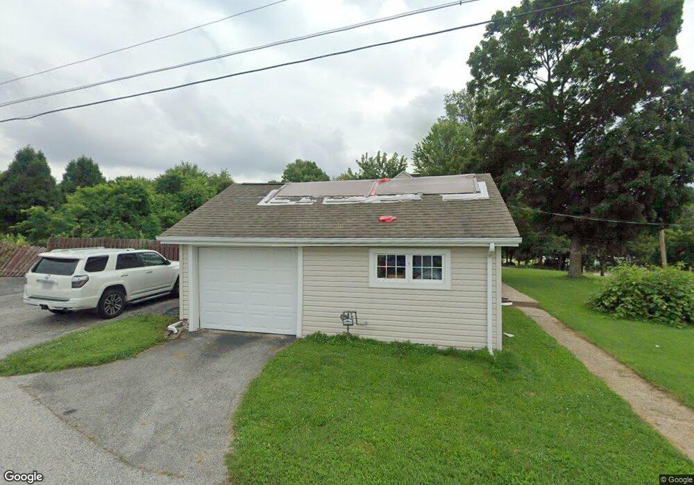
11795 Avery Ln Bridgeton, MO 63044
Estimated Value: $232,133 - $252,000
3
Beds
1
Bath
1,229
Sq Ft
$199/Sq Ft
Est. Value
About This Home
This home is located at 11795 Avery Ln, Bridgeton, MO 63044 and is currently estimated at $244,283, approximately $198 per square foot. 11795 Avery Ln is a home located in St. Louis County with nearby schools including Robert Drummond Elementary School, Holman Middle School, and Pattonville High School.
Ownership History
Date
Name
Owned For
Owner Type
Purchase Details
Closed on
May 30, 2025
Sold by
Morris Kathryn E and Floyed Kathryn E
Bought by
Floyed Kathryn and Floyed Michael
Current Estimated Value
Home Financials for this Owner
Home Financials are based on the most recent Mortgage that was taken out on this home.
Original Mortgage
$20,000
Outstanding Balance
$19,897
Interest Rate
6.81%
Mortgage Type
Credit Line Revolving
Estimated Equity
$224,386
Purchase Details
Closed on
Dec 15, 2011
Sold by
Black Harold D
Bought by
Morris Kathryn E
Home Financials for this Owner
Home Financials are based on the most recent Mortgage that was taken out on this home.
Original Mortgage
$48,000
Interest Rate
4.03%
Mortgage Type
New Conventional
Create a Home Valuation Report for This Property
The Home Valuation Report is an in-depth analysis detailing your home's value as well as a comparison with similar homes in the area
Home Values in the Area
Average Home Value in this Area
Purchase History
| Date | Buyer | Sale Price | Title Company |
|---|---|---|---|
| Floyed Kathryn | -- | None Listed On Document | |
| Morris Kathryn E | $61,000 | Investors Title Co Clayton |
Source: Public Records
Mortgage History
| Date | Status | Borrower | Loan Amount |
|---|---|---|---|
| Open | Floyed Kathryn | $20,000 | |
| Previous Owner | Morris Kathryn E | $48,000 |
Source: Public Records
Tax History
| Year | Tax Paid | Tax Assessment Tax Assessment Total Assessment is a certain percentage of the fair market value that is determined by local assessors to be the total taxable value of land and additions on the property. | Land | Improvement |
|---|---|---|---|---|
| 2025 | $2,726 | $42,010 | $13,570 | $28,440 |
| 2024 | $2,726 | $33,540 | $11,460 | $22,080 |
| 2023 | $2,726 | $33,540 | $11,460 | $22,080 |
| 2022 | $2,793 | $30,910 | $7,920 | $22,990 |
| 2021 | $2,756 | $30,910 | $7,920 | $22,990 |
| 2020 | $2,548 | $27,710 | $6,160 | $21,550 |
| 2019 | $2,554 | $27,710 | $6,160 | $21,550 |
| 2018 | $2,420 | $24,210 | $4,410 | $19,800 |
| 2017 | $2,383 | $24,210 | $4,410 | $19,800 |
| 2016 | $2,239 | $22,350 | $3,520 | $18,830 |
| 2015 | $2,218 | $22,350 | $3,520 | $18,830 |
| 2014 | -- | $23,100 | $2,410 | $20,690 |
Source: Public Records
Map
Nearby Homes
- 11768 Parish Dr
- 3705 Dax Ln
- 11660 Mark Twain Ln
- 12130 Natural Bridge Rd Unit A
- 4110 Fee Rd
- 3534 Bostons Farm Dr
- 4229 Carrollton Dr Unit A
- 3623 Bridgeton Valley Cir
- 11424 Burgess Ave
- 3746 Fee Rd
- 4105 Banks Rd
- 3303 Haas Ave
- 11658 Jaquetta Ct
- 11920 Autumn Lakes Dr Unit 393
- 3202 Denmark Dr Unit C
- 11239 Terry Ave
- 3124 Autumn Shores Dr Unit 434
- 3110 Autumn Shores Dr Unit 445
- 11318 Taylor Pines Dr
- 3115 Autumn Trace Dr Unit 281
- 11825 Avery Ln
- 3994 Locust Ln
- 11828 Avery Ln
- 11787 Avery Ln
- 11835 Avery Ln
- 11830 Avery Ln
- 11801 Avery Ln
- 3979 Lockport Dr
- 11801 Locust Ln
- 11817 Locust Ln
- 3973 Lockport Dr
- 11802 Relay Dr
- 11753 Locust Ln
- 11834 Avery Ln
- 3967 Lockport Dr
- 3961 Lockport Dr
- 11838 Avery Ln
- 11801 Relay Dr
- 3879 Depaul Meadows Ct
- 3873 Depaul Meadows Ct
Your Personal Tour Guide
Ask me questions while you tour the home.