11796 Fresno Rd West Fork, AR 72774
Estimated Value: $242,000 - $657,000
3
Beds
2
Baths
924
Sq Ft
$390/Sq Ft
Est. Value
About This Home
This home is located at 11796 Fresno Rd, West Fork, AR 72774 and is currently estimated at $360,381, approximately $390 per square foot. 11796 Fresno Rd is a home with nearby schools including West Fork Elementary School, West Fork Middle School, and West Fork High School.
Ownership History
Date
Name
Owned For
Owner Type
Purchase Details
Closed on
Apr 29, 2021
Sold by
Mugley Michael
Bought by
Mugley Michael J and Mugley Shirley A
Current Estimated Value
Purchase Details
Closed on
Apr 26, 2021
Sold by
Mugley Michael
Bought by
Mugley Michael J and Mugley Shirley A
Purchase Details
Closed on
Jul 9, 2015
Bought by
Mugley Michael
Purchase Details
Closed on
Feb 11, 2010
Sold by
Edens Timmie and Edens Rhonda
Bought by
Mugley Michael and Mugley Shirley
Home Financials for this Owner
Home Financials are based on the most recent Mortgage that was taken out on this home.
Original Mortgage
$31,000
Interest Rate
5.16%
Mortgage Type
Purchase Money Mortgage
Purchase Details
Closed on
Jul 28, 1996
Bought by
Breshears Myron L and Breshears Peggy S
Purchase Details
Closed on
May 21, 1986
Bought by
Price Dorsalee and Price Breshears,
Purchase Details
Closed on
Jan 1, 1985
Bought by
Drain Vicky J
Create a Home Valuation Report for This Property
The Home Valuation Report is an in-depth analysis detailing your home's value as well as a comparison with similar homes in the area
Home Values in the Area
Average Home Value in this Area
Purchase History
| Date | Buyer | Sale Price | Title Company |
|---|---|---|---|
| Mugley Michael J | -- | None Listed On Document | |
| Mugley Michael J | -- | None Available | |
| Mugley Michael | -- | -- | |
| Mugley Michael | $30,000 | Waco Title Company | |
| Breshears Myron L | -- | -- | |
| Price Dorsalee | $3,000 | -- | |
| Drain Vicky J | -- | -- |
Source: Public Records
Mortgage History
| Date | Status | Borrower | Loan Amount |
|---|---|---|---|
| Previous Owner | Mugley Michael | $31,000 |
Source: Public Records
Tax History Compared to Growth
Tax History
| Year | Tax Paid | Tax Assessment Tax Assessment Total Assessment is a certain percentage of the fair market value that is determined by local assessors to be the total taxable value of land and additions on the property. | Land | Improvement |
|---|---|---|---|---|
| 2025 | $488 | $34,460 | $14,340 | $20,120 |
| 2024 | $573 | $34,460 | $14,340 | $20,120 |
| 2023 | $16 | $19,280 | $14,340 | $4,940 |
| 2022 | $66 | $8,760 | $4,640 | $4,120 |
| 2021 | $66 | $8,760 | $4,640 | $4,120 |
| 2020 | $66 | $8,760 | $4,640 | $4,120 |
| 2019 | $66 | $5,790 | $3,600 | $2,190 |
| 2018 | $66 | $5,790 | $3,600 | $2,190 |
| 2017 | $16 | $5,790 | $3,600 | $2,190 |
| 2016 | $64 | $5,790 | $3,600 | $2,190 |
| 2015 | $13 | $5,790 | $3,600 | $2,190 |
| 2014 | $12 | $5,270 | $3,400 | $1,870 |
Source: Public Records
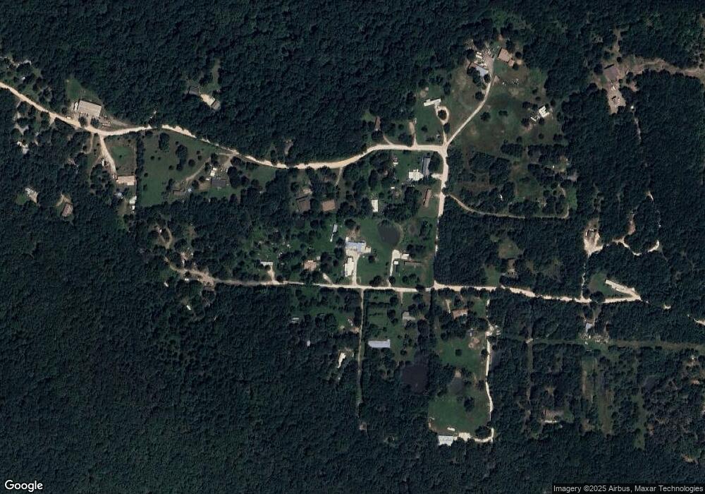
Map
Nearby Homes
- 14648 Director Rd
- 12063 W Highway 156
- 10973 Arkansas 156
- 14516 Friendship Church Rd
- 12930 Baker Mountain Rd
- 30.47 Acres Onda Mountain (Wc 213)
- 12685 N Billingsley Rd
- 00 8.86 acres Hubbard Rd
- 00 Hubbard Rd
- 15607 Hubbard Rd
- 16977 Holcombe School Rd
- 14673 Union Star Rd
- 16891 Holcombe School Rd
- 16293 Arkansas 265
- 13653 W Mountain Rd
- TBD Wooten Rd Rd
- 170 Arkansas 170
- 0000- Hwy 170 Devils Arkansas 170
- 11791 Sheehan Rd
- 11836 Fresno Rd
- 11867 Sheehan Rd
- 11850 Fresno Rd
- 11787 Fresno Rd
- 11753 Sheehan Rd
- 11864 Sheehan Rd
- 11739 Sheehan Rd
- 11895 Fresno Rd
- 11692 Sheehan Rd
- 11790 Fresno Rd
- 12026 Sheehan Rd
- 11655 Elder Rd
- 11893 Sheehan Rd
- 11774 Sheehan Rd
- 11577 Sheehan Rd
- 11634 Sheehan Rd
- 11655 Sheehan Rd
- 11644 Sheehan Rd
- 12060 Sheehan Rd