11796 Ted Davis Rd Greens Fork, IN 47345
Estimated Value: $316,000 - $902,609
5
Beds
1
Bath
2,496
Sq Ft
$234/Sq Ft
Est. Value
About This Home
This home is located at 11796 Ted Davis Rd, Greens Fork, IN 47345 and is currently estimated at $584,402, approximately $234 per square foot. 11796 Ted Davis Rd is a home located in Wayne County with nearby schools including Hagerstown Elementary School, Hagerstown Junior/Senior High School, and Center View Amish School.
Ownership History
Date
Name
Owned For
Owner Type
Purchase Details
Closed on
May 19, 2023
Sold by
Fisher Benjamin K and Fisher Sadie S
Bought by
Stoltzfus Isaac and Stoltzfus Sarah Lynn
Current Estimated Value
Home Financials for this Owner
Home Financials are based on the most recent Mortgage that was taken out on this home.
Original Mortgage
$500,000
Outstanding Balance
$486,198
Interest Rate
6.43%
Mortgage Type
New Conventional
Estimated Equity
$98,204
Purchase Details
Closed on
Mar 15, 2006
Sold by
Stolzfus Benjamin M and Stolzfus Ruth F
Bought by
Fisher Benjamin K and Fisher Sadie S
Home Financials for this Owner
Home Financials are based on the most recent Mortgage that was taken out on this home.
Original Mortgage
$300,000
Interest Rate
6.38%
Mortgage Type
Future Advance Clause Open End Mortgage
Create a Home Valuation Report for This Property
The Home Valuation Report is an in-depth analysis detailing your home's value as well as a comparison with similar homes in the area
Home Values in the Area
Average Home Value in this Area
Purchase History
| Date | Buyer | Sale Price | Title Company |
|---|---|---|---|
| Stoltzfus Isaac | $800,000 | None Listed On Document | |
| Fisher Benjamin K | -- | -- |
Source: Public Records
Mortgage History
| Date | Status | Borrower | Loan Amount |
|---|---|---|---|
| Open | Stoltzfus Isaac | $500,000 | |
| Previous Owner | Fisher Benjamin K | $300,000 |
Source: Public Records
Tax History Compared to Growth
Tax History
| Year | Tax Paid | Tax Assessment Tax Assessment Total Assessment is a certain percentage of the fair market value that is determined by local assessors to be the total taxable value of land and additions on the property. | Land | Improvement |
|---|---|---|---|---|
| 2024 | $4,012 | $297,500 | $121,500 | $176,000 |
| 2023 | $4,491 | $280,100 | $102,400 | $177,700 |
| 2022 | $4,573 | $285,200 | $84,000 | $201,200 |
| 2021 | $4,318 | $256,500 | $74,300 | $182,200 |
| 2020 | $4,142 | $250,600 | $73,600 | $177,000 |
| 2019 | $4,366 | $268,900 | $86,500 | $182,400 |
| 2018 | $3,224 | $215,000 | $88,800 | $126,200 |
| 2017 | $3,802 | $258,300 | $99,900 | $158,400 |
| 2016 | $3,999 | $271,700 | $104,500 | $167,200 |
| 2014 | $3,571 | $259,700 | $108,700 | $151,000 |
| 2013 | $3,571 | $241,300 | $95,300 | $146,000 |
Source: Public Records
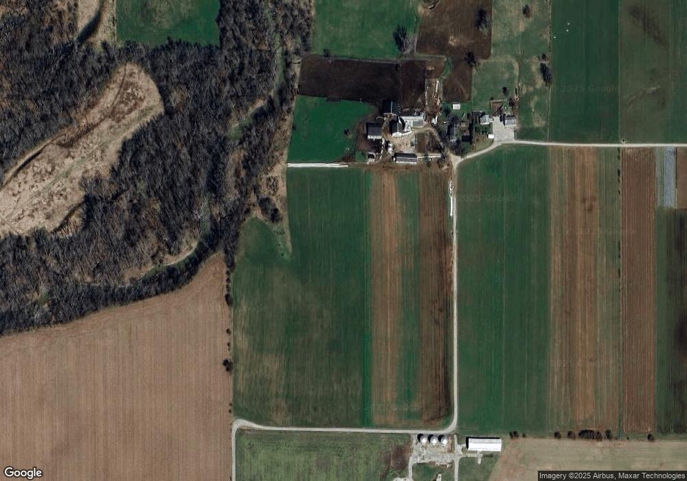
Map
Nearby Homes
- 314 S Main St
- 200 N Elm St
- 425 N Elm St
- 50 Grandview Ct
- 475 N Washington St
- 8171 George Early Rd
- 6357 Dalton Rd
- 9683 U S 40
- 210 Elm St
- 0 Ellen Ct
- Lot 29 Ellen Ct
- LOT 25 Ellen Ct
- 102 N Pearl St
- Lot 105 Brookville Lake Resort Unit 2288 W. OLD STATE RO
- 6 Orchard St
- 132 E Main St
- 37 E Church St
- 114 E Church St
- 228 Simmons St
- 207 College Corner Rd
- 11792 Ted Davis Rd
- 11786 Ted Davis Rd
- 11594 Ted Davis Rd
- 11594 Ted Davis Rd
- 11399 Swoveland Rd
- 10802 Ted Davis Rd
- 3399 N Jacksonburg Rd
- 3658 N Jacksonburg Rd
- 3927 N Jacksonburg Rd
- 3402 N Jacksonburg Rd
- 11182 Swoveland Rd
- 12275 Ted Davis Rd
- TBD Swoveland Rd
- 10792 Ted Davis Rd
- 4257 Jacksonburg Rd
- 12414 Ted Davis Rd